Rivière Pikauba
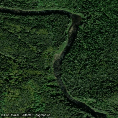
Rivière Pikauba
- Boat Ramps
- 0
- Access Points
- 0
- Campsites
- 0
The Rivière Pikauba is a northward-flowing river approximately 91 km (57 mi) long, located in the Saguenay–Lac-Saint-Jean administrative region of Quebec, Canada. It originates within the Laurentides Wildlife Reserve and flows to Lake Kénogami, serving as a major tributary of that lake. The river drains approximately 495 km² of the larger 3,390 km² Lake Kénogami watershed.
Canot Kayak Québec has produced a three-map bundle covering the entire paddling route of the river, available through the Avenza Maps app (iOS and Android) at no cost. These maps indicate put-in and take-out points, rapids, portages, camping sites, and other points of interest along the river corridor. One documented paddling route covers the last approximately 20 km of the river, from above Pointe aux Écorces down to Lac Kénogami. Another route description references a starting point near Lac Davenport, potentially beginning on the Rivière Chicoutimi before transitioning to the Pikauba.
Access to the river is facilitated by Quebec Route 175, which connects Quebec City to Saguenay and passes near the Laurentides Wildlife Reserve, and Route 169, which provides entry points toward Hébertville and Lac Saint-Jean. Secondary forest roads branch off these main routes for more remote access. The proximity of Lac-Pikauba supports camping at reserve sites equipped with basic facilities.
The river flows through the Laurentides Wildlife Reserve, a protected wilderness area, and the surrounding terrain is heavily forested. The upper reaches are noted for clear water and brook trout fishing, subject to provincial regulations that permit catches from April to September in designated sections. The river corridor includes visible rapids, which are highlighted along the hiking trail that follows the riverbanks near Mont-Apica. Summer is identified as a season for paddling activity on the river. The area is managed with an ecotourism focus within the reserve, and visitors should be aware of applicable provincial regulations when planning a trip.
Water access, boat ramps & amenities
Learn how to get on Rivière Pikauba. Uncover great paddling access points, boat ramps, and all the facilities you need for an unforgettable day on the water. Some locations shown may border or include private property. Always check property boundaries and applicable regulations before visiting. PaddleWays's Public & Private Land layer can help you plan your access with confidence.
Paddle smarter with real-time insights
Whether you're en route and conditions shift or you're looking for the best spot based on current flows, we enable you to make informed decisions on the fly.







Qc licenses and regulations
No licenses or regulations available for Qc.
Find Places to Paddle

Over 400,000 Places to Paddle
Every user gets free access to launch points, boat ramps, and public property parcels.


Water and weather conditions (10 day forecast)
See the best times to paddle Rivière Pikauba and check the forecast before you go.
PIKAUBA (RIVIERE) A 3,6 KM DE L'EMBOUCHURE
Paddling near Rivière Pikauba

Rivière Saguenay
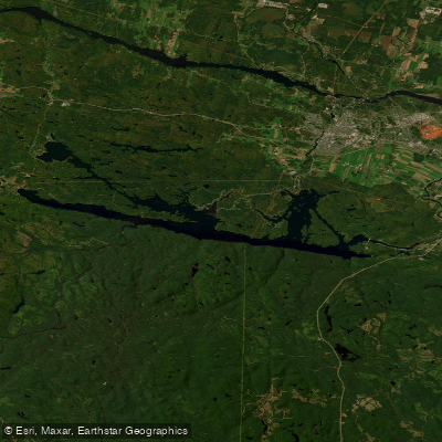
Lac Kénogami
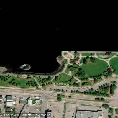
Plage de la zone portuaire de Chicoutimi
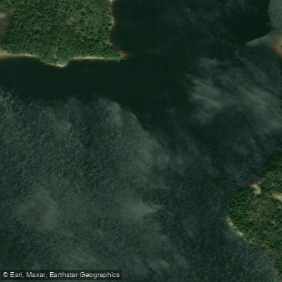
Rivière Shipshaw
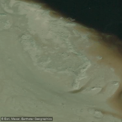
Battures aux Loups Marins
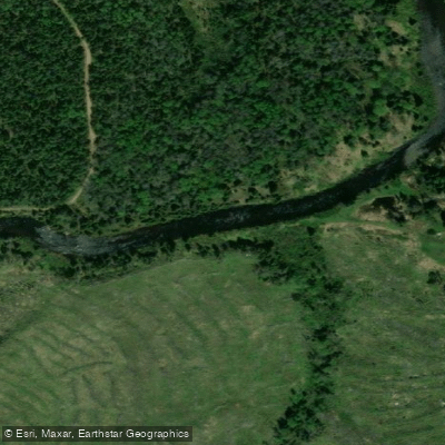
Rivière à Mars
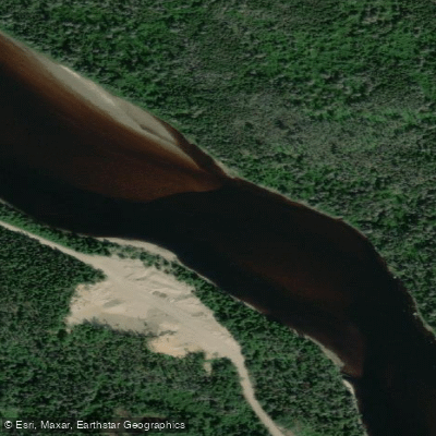
Rivière Mistassini
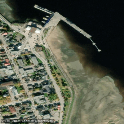
plage de La Baie
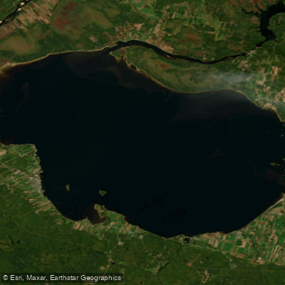
Lac Saint-Jean
Explore Qc waters
Top paddling waters
No waters available right now.
Popular Cities
Loading popular cities...
Explore near Rivière Pikauba

Smarter Paddling Starts in the App.
Paddleways gives you everything you need to plan smarter, paddle better, and own every trip from first launch to takeout.