Rivière Shipshaw
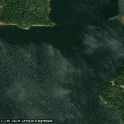
Rivière Shipshaw
- Boat Ramps
- 0
- Access Points
- 0
- Campsites
- 1
The Rivière Shipshaw flows through the Le Fjord-du-Saguenay regional county municipality in Quebec's Saguenay–Lac-Saint-Jean region, joining the Saguenay River just across from Jonquière. The river offers two distinct paddling sections that cater to different skill levels and disciplines.
The upper section, known as Chûte-aux-Galets, covers approximately 9 km and is the preferred run for kayakers. It features a continuous and demanding sequence of class III–IV rapids. An agreement with dam managers maintains an ideal flow throughout the summer, making this section reliably runnable during the paddling season. A separate whitewater reach of approximately 8 km begins at Lac Sébastien and is noted as serious whitewater terrain.
The lower section begins east of Saint-Ambroise at the Portage-Lapointe bridge and is better suited to whitewater canoeing. This stretch alternates between long, calmer flatwater passages and class II–III rapids, making it a manageable day trip for paddlers with intermediate skills.
Canot Kayak Québec has published a free digital map set covering the entire river, available through the Avenza Maps app for iOS and Android. The map package identifies put-in and take-out points, rapids, portages, camping sites, and other points of interest along the river corridor. The map was published in October 2021.
Guided rafting on the Shipshaw is also available through at least one outfitter in the region, H2O Expédition et aventure, though this is offered upon request rather than as a standard scheduled trip.
The river sits within a region known for its dramatic geography, with the broader Saguenay area characterized by deep river valleys and significant elevation changes that contribute to the whitewater character of tributaries like the Shipshaw. Paddlers planning a trip should consult the Canot Kayak Québec map resources and confirm flow conditions with dam operators, particularly for the upper Chûte-aux-Galets section where managed releases govern water levels.
Water access, boat ramps & amenities
Learn how to get on Rivière Shipshaw. Uncover great paddling access points, boat ramps, and all the facilities you need for an unforgettable day on the water. Some locations shown may border or include private property. Always check property boundaries and applicable regulations before visiting. PaddleWays's Public & Private Land layer can help you plan your access with confidence.
Paddle smarter with real-time insights
Whether you're en route and conditions shift or you're looking for the best spot based on current flows, we enable you to make informed decisions on the fly.







Qc licenses and regulations
No licenses or regulations available for Qc.
Find Places to Paddle

Over 400,000 Places to Paddle
Every user gets free access to launch points, boat ramps, and public property parcels.


Water and weather conditions (10 day forecast)
See the best times to paddle Rivière Shipshaw and check the forecast before you go.
No forecast data available.
Paddling near Rivière Shipshaw
Rivière Saguenay
Lac Kénogami
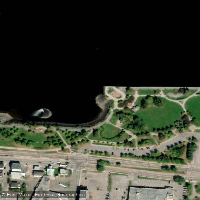
Plage de la zone portuaire de Chicoutimi
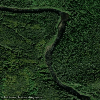
Rivière Pikauba
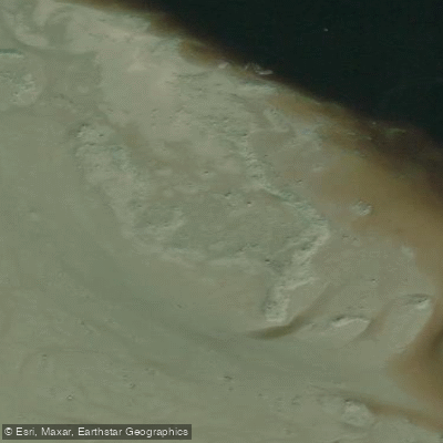
Battures aux Loups Marins
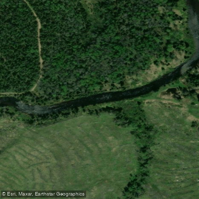
Rivière à Mars
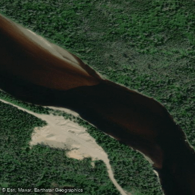
Rivière Mistassini
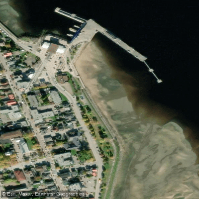
plage de La Baie
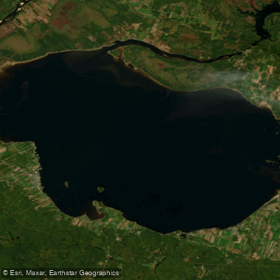
Lac Saint-Jean
Explore Qc waters
Top paddling waters
No waters available right now.
Popular Cities
Loading popular cities...
Explore near Rivière Shipshaw

Smarter Paddling Starts in the App.
Paddleways gives you everything you need to plan smarter, paddle better, and own every trip from first launch to takeout.