Rivière Saguenay
Rivière Saguenay
- Boat Ramps
- 0
- Access Points
- 0
- Campsites
- 0
The Saguenay River in Quebec connects Lac Saint-Jean to the St. Lawrence estuary, with its most celebrated paddling section being the Saguenay Fjord — one of the longest fjords in the world, stretching approximately 105 kilometers from Saint-Fulgence to Tadoussac. The fjord is carved through towering granite and gneiss cliffs that rise as high as 400 meters above the waterline, creating a dramatic corridor of rock and deep water. Where the river meets the St. Lawrence, freshwater and saltwater merge, producing rich habitat for beluga whales, seals, cormorants, and terns.
Two protected areas govern the region: Parc National du Fjord-du-Saguenay (Saguenay Fjord National Park) protects the shoreline, while the Saguenay–St. Lawrence Marine Park encompasses the fjord waters and the adjoining St. Lawrence estuary. Paddlers should familiarize themselves with the park's designated docking points, anchoring guidelines, speed restrictions, and whale-approach regulations before launching, as certain areas and species carry specific protections.
Kayak launch sites within the national park include Baie Éternité, L'Anse du Petit-Saguenay, and L'Anse de Saint-Étienne on the south shore, and L'Anse de Roche and Tadoussac on the north shore. The villages of Sainte-Rose-du-Nord and L'Anse-Saint-Jean are also commonly used access points for the north and south sides of the fjord respectively. Marinas and nautical facilities are available at Tadoussac, La Baie, Jonquière, Chicoutimi, Sainte-Rose-du-Nord, and Anse-Saint-Jean.
A typical guided multi-day route covers roughly 9 miles per day, with paddlers moving between Baie Éternité, Baie de la Trinité, Anse du Portage, and Petit-Saguenay, with camping available at designated sites along the way. Cap Trinité and Cap Éternité are notable landmarks along the route. Wind can be a significant factor on the fjord, with stiff headwinds capable of adding considerably to paddling time. The tidal influence is also a serious consideration, particularly near the St. Lawrence confluence, where tidal rips producing breaking waves have been reported. The fjord's waters are glacially cold and deep, demanding appropriate cold-water paddling preparation. A two-day trip from L'Anse-Saint-Jean provides a solid introduction to the fjord, while three days allows paddlers to reach Tadoussac at the St. Lawrence and increases the likelihood of beluga whale sightings.
Water access, boat ramps & amenities
Learn how to get on Rivière Saguenay. Uncover great paddling access points, boat ramps, and all the facilities you need for an unforgettable day on the water. Some locations shown may border or include private property. Always check property boundaries and applicable regulations before visiting. PaddleWays's Public & Private Land layer can help you plan your access with confidence.
Paddle smarter with real-time insights
Whether you're en route and conditions shift or you're looking for the best spot based on current flows, we enable you to make informed decisions on the fly.







Qc licenses and regulations
No licenses or regulations available for Qc.
Find Places to Paddle

Over 400,000 Places to Paddle
Every user gets free access to launch points, boat ramps, and public property parcels.


Water and weather conditions (10 day forecast)
See the best times to paddle Rivière Saguenay and check the forecast before you go.
No forecast data available.
Paddling near Rivière Saguenay
Lac Kénogami
Plage de la zone portuaire de Chicoutimi
Rivière Pikauba
Rivière Shipshaw
Battures aux Loups Marins
Rivière à Mars
Rivière Mistassini
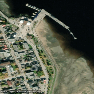
plage de La Baie
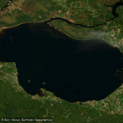
Lac Saint-Jean
Explore Qc waters
Top paddling waters
No waters available right now.
Popular Cities
Loading popular cities...
Explore near Rivière Saguenay

Smarter Paddling Starts in the App.
Paddleways gives you everything you need to plan smarter, paddle better, and own every trip from first launch to takeout.