Laguna Avendaño
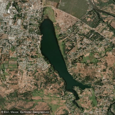
Laguna Avendaño
- Boat Ramps
- 0
- Access Points
- 0
- Campsites
- 0
Laguna Avendaño is a lake located in the comuna of Quillón, provincia de Diguillín, within the Ñuble Region of Chile. It sits at an elevation of 270 meters above sea level and covers approximately 15 square kilometers (around 160 hectares). The lake has an average depth of 8 meters, and its shorelines are notably gentle, without pronounced slopes. When viewed from above — particularly from the nearby cerro Cayumanqui, an emblematic hill of the Quillón area — the lake's surface takes on the outline of a whale, a distinctive geographical curiosity. The lake lies within the drainage basin of the río Itata.
The surrounding landscape consists of native forests and hills that frame the water on multiple sides. The lake supports a variety of wildlife, including black-necked swans, herons, and wild ducks, making it a reasonable spot for wildlife observation while on the water. Swans and ducks are regularly present and accustomed to human activity in the area.
Laguna Avendaño is an established venue for water sports, with kayaking, sailing, water skiing, and canoeing all practiced here. The lake has hosted organized sailing competitions, including the Campeonato Asovela Quillón, which drew more than 30 vessels in a recent edition, indicating that the water is suitable for multi-vessel activity. The shores are calm enough for recreational paddling and are described as appropriate for children as well as adults.
The Parque Laguna Avendaño, managed by the Municipalidad de Quillón, provides developed facilities along the waterfront, including lighting, food vendors, artisan stalls, and designated recreational and family areas. Camping and picnic areas are also available in the vicinity. The park functions as the primary tourist draw for both Quillón and the broader Ñuble Region, with peak activity concentrated during the summer months, when it serves as a significant source of local employment. Visitor numbers are highest in summer, which corresponds to the Southern Hemisphere warm season (December through March).
Water access, boat ramps & amenities
Learn how to get on Laguna Avendaño. Uncover great paddling access points, boat ramps, and all the facilities you need for an unforgettable day on the water. Some locations shown may border or include private property. Always check property boundaries and applicable regulations before visiting. PaddleWays's Public & Private Land layer can help you plan your access with confidence.
Paddle smarter with real-time insights
Whether you're en route and conditions shift or you're looking for the best spot based on current flows, we enable you to make informed decisions on the fly.







Ñuble licenses and regulations
No licenses or regulations available for Ñuble.
Find Places to Paddle

Over 400,000 Places to Paddle
Every user gets free access to launch points, boat ramps, and public property parcels.


Water and weather conditions (10 day forecast)
See the best times to paddle Laguna Avendaño and check the forecast before you go.
Desague Laguna Avendaño
Paddling near Laguna Avendaño
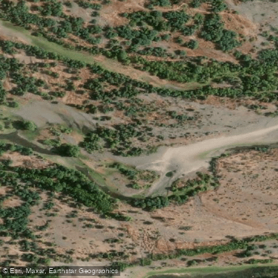
Río Itata
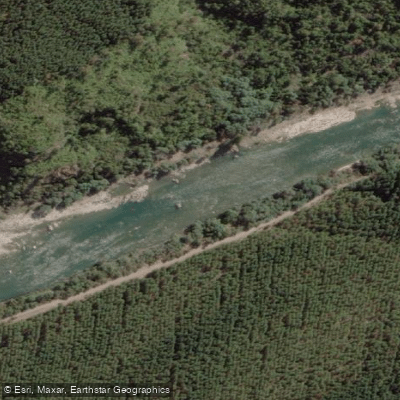
Río Ñuble
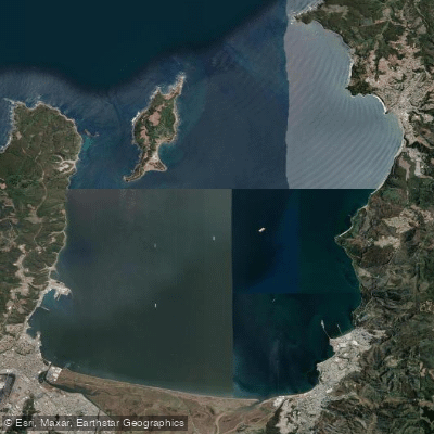
Bahía de Concepción
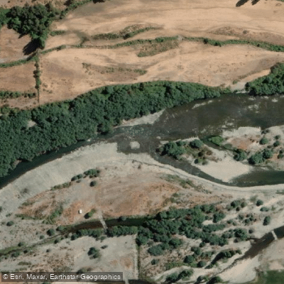
Río Diguillín
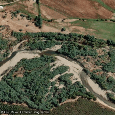
Río Cato
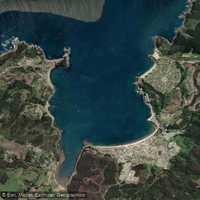
Bahía de Coliumo
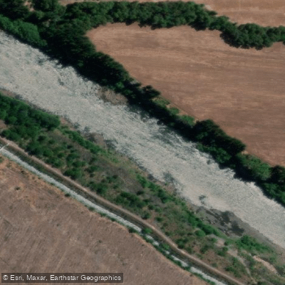
Río Biobío
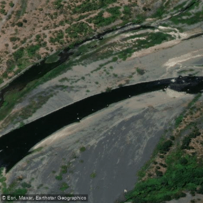
Río Laja
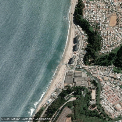
Playa Bellavista
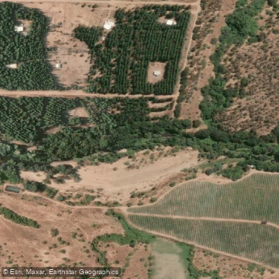
Río Lonquén
Explore Ñuble waters
Top paddling waters
No waters available right now.
Popular Cities
Loading popular cities...
Explore near Laguna Avendaño

Smarter Paddling Starts in the App.
Paddleways gives you everything you need to plan smarter, paddle better, and own every trip from first launch to takeout.