Río Diguillín
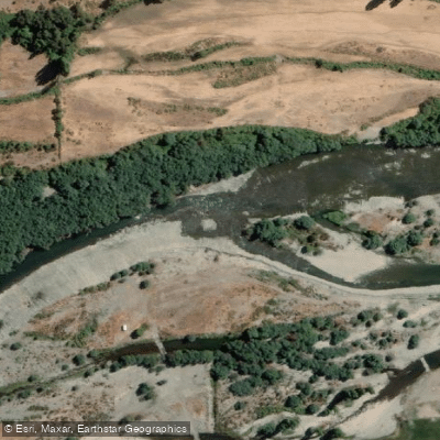
Río Diguillín
- Boat Ramps
- 0
- Access Points
- 0
- Campsites
- 4
The Río Diguillín is a low-volume whitewater river in Chile's Ñuble Region, draining from the peaks of Reserva Nacional Nuble near the Argentine border and flowing roughly 100 kilometers before joining the Río Itata near the locality of Liucura Bajo. The upper section originates in the Valle de Aguas Calientes area at the base of the Chillán Volcano (3,212 meters), and the river is characterized by a granite streambed, crystal-clear water, and pool-drop rapids that make it a technically interesting run.
The typical paddled section runs approximately 6 kilometers. Access involves leaving a shuttle vehicle at the takeout and driving upstream to the put-in. A locked gate may be encountered on the approach road; paddlers can gain entry by stating they are visiting Reserva Nacional Nuble, for which a 2,000 peso entrance fee applies. The run is best suited to the winter and spring months, with early spring — September through early October — considered the prime window. At that time of year, the river carries sufficient flow from snowmelt off the surrounding peaks.
The river flows through a canyon setting with granite walls and clear water. Just below the community of Los Lleuques, the waterfall of Estero Renegado enters the river and is a notable feature along the route. The surrounding area includes Reserva Nacional Nuble and Santuario Los Huemeles de Niblinto, both protected natural areas. The nearby town of Las Trancas offers lodging and dining, and the Termas de Chillán hot springs are accessible in the area, making it possible to combine a paddling day with other activities.
Other rivers in the broader region include the Longaví, Achibueno, and Laja, which may be of interest to paddlers planning a multi-river trip. The Diguillín's flora and fauna are noted as distinctive, and the river corridor functions as a biological corridor. There are ongoing conservation concerns related to proposed dam projects — specifically the Embalse Zapallar and Punilla — which local communities and environmental groups have opposed, though these have not yet altered the river's current free-flowing character.
Water access, boat ramps & amenities
Learn how to get on Río Diguillín. Uncover great paddling access points, boat ramps, and all the facilities you need for an unforgettable day on the water. Some locations shown may border or include private property. Always check property boundaries and applicable regulations before visiting. PaddleWays's Public & Private Land layer can help you plan your access with confidence.
Paddle smarter with real-time insights
Whether you're en route and conditions shift or you're looking for the best spot based on current flows, we enable you to make informed decisions on the fly.







Ñuble licenses and regulations
No licenses or regulations available for Ñuble.
Find Places to Paddle

Over 400,000 Places to Paddle
Every user gets free access to launch points, boat ramps, and public property parcels.


Water and weather conditions (10 day forecast)
See the best times to paddle Río Diguillín and check the forecast before you go.
Rio Diguillin En San Lorenzo (Atacalco)
All Flow Stations
Paddling near Río Diguillín
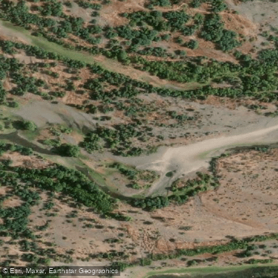
Río Itata
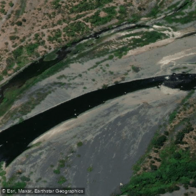
Río Laja
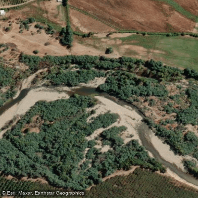
Río Cato
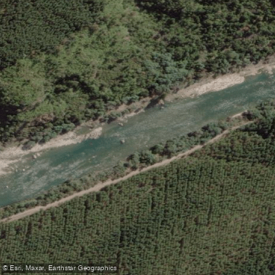
Río Ñuble
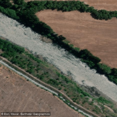
Río Biobío
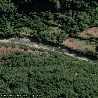
Río Cholguán
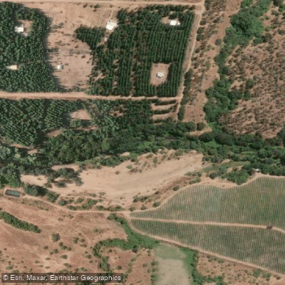
Río Lonquén
Río Los Sauces
Río Duqueco
Explore Ñuble waters
Top paddling waters
No waters available right now.
Popular Cities
Loading popular cities...
Explore near Río Diguillín
Access points
Nearby waters
More in Ñuble

Smarter Paddling Starts in the App.
Paddleways gives you everything you need to plan smarter, paddle better, and own every trip from first launch to takeout.