Río Cato
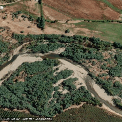
Río Cato
- Boat Ramps
- 0
- Access Points
- 0
- Campsites
- 0
The Río Cato is a low-elevation drainage in Chile's south-central Andes, situated in the Ñuble Region immediately south of the Río Ñuble. The run is rated class 3 and is characterized by a mellow gradient through a scenic valley. The paddleable section is 5.5 km in length, dropping from a put-in elevation of 520 meters to a takeout at 390 meters, averaging 24 m/km (approximately 120 feet per mile). The beautiful valley setting compensates for the relatively modest whitewater challenge.
Access begins in Chillán, heading northeast on the paved road to Coihueco, then continuing toward Ñiblinto, crossing the Cato bridge along the way. From the town of Bustamante, a dirt road heads east alongside the river. The takeout is a bridge over a tight canyon, located at coordinates 36.630467° S, 71.635102° W (IGM topo map San Fabian de Alico F-102). At the takeout, paddlers must jump a gate and carry their boat upriver to reach the put-in, as boat hiking is the only means of accessing the run. River left is the flatter option for this approach, though an old logging road on river right is also available.
Flow is a critical planning consideration. The run was recorded at 250 CFS on a November 1st trip, which produced scratchy conditions. Optimal flow is 500 CFS or more, which is most reliably found during winter months through mid-October. In summer, the river drops to near-dry levels and is generally not runnable. Paddlers planning a trip should target the winter-to-early-spring window for adequate water.
Along the road to the put-in there are several campsites and swim holes. A practical detail for scouting: the bridges over the Cato and the neighboring Río Ñiblinto on the Coihueco-Bustamante road are only 250 meters apart, allowing paddlers to check water levels on both rivers in a single stop.
Water access, boat ramps & amenities
Learn how to get on Río Cato. Uncover great paddling access points, boat ramps, and all the facilities you need for an unforgettable day on the water. Some locations shown may border or include private property. Always check property boundaries and applicable regulations before visiting. PaddleWays's Public & Private Land layer can help you plan your access with confidence.
Paddle smarter with real-time insights
Whether you're en route and conditions shift or you're looking for the best spot based on current flows, we enable you to make informed decisions on the fly.







Maule licenses and regulations
No licenses or regulations available for Maule.
Find Places to Paddle

Over 400,000 Places to Paddle
Every user gets free access to launch points, boat ramps, and public property parcels.


Water and weather conditions (10 day forecast)
See the best times to paddle Río Cato and check the forecast before you go.
Rio Cato En Digua
All Flow Stations
Paddling near Río Cato
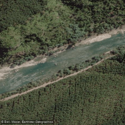
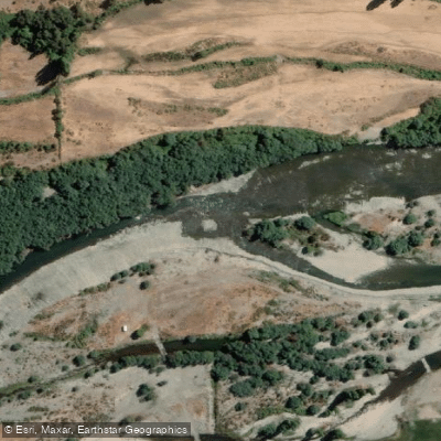
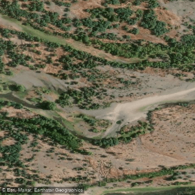
Explore Maule waters
Top paddling waters
No waters available right now.
Popular Cities
Loading popular cities...
Explore near Río Cato

Smarter Paddling Starts in the App.
Paddleways gives you everything you need to plan smarter, paddle better, and own every trip from first launch to takeout.