Río Ibáñez
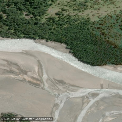
Río Ibáñez
- Boat Ramps
- 0
- Access Points
- 0
- Campsites
- 0
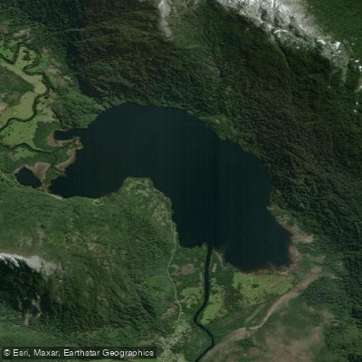
The Río Ibáñez originates from snowfields and glaciers on the southeastern flanks of Hudson Volcano in the Aysén Region of Chile. From its headwaters, the river runs approximately 88 km before emptying into Lago General Carrera, the second-largest lake in South America. Its course follows a roughly southeast direction for the first 30 km, then turns east for another 30 km, before shifting southeast again for the final 28 km to its mouth. The river drains a basin of approximately 2,377 km², and its mouth sits at an elevation of 217 m above sea level.
The river flows along the southern boundary of the Cerro Castillo National Reserve, whose centerpiece is the dramatic basalt peak of Cerro Castillo. The valley is characterized by rugged Andean terrain, with glaciers and fertile valley floors visible along the corridor. A notable waterfall, the Salto del Río Ibáñez, is one of the recognized natural features of the area. The Carretera Austral runs through the valley, including a switchbacked section known as the Cuesta del Diablo, which provides road access along the river corridor.
Puerto Ingeniero Ibáñez sits near the mouth of the river on the shore of Lago General Carrera, and serves as the main population center in the area. From this port, ferry service connects to Chile Chico across the lake. The town of Villa Cerro Castillo lies upstream within the river's watershed. The Carretera Austral connects the area to Coyhaique, approximately 108 km to the north on a paved road.
The broader region is known for glaciers, boating, and tours, and the area around Lago General Carrera includes the Capilla de Mármol near Puerto Río Tranquilo and the Glaciar Exploradores. The river's flow can be influenced by volcanic activity from Hudson Volcano, which is an important consideration for anyone planning a trip in this corridor. The surrounding landscape transitions from high Andean terrain near the headwaters to broader valley floors approaching the lake.
Water access, boat ramps & amenities
Learn how to get on Río Ibáñez. Uncover great paddling access points, boat ramps, and all the facilities you need for an unforgettable day on the water. Some locations shown may border or include private property. Always check property boundaries and applicable regulations before visiting. PaddleWays's Public & Private Land layer can help you plan your access with confidence.
Paddle smarter with real-time insights
Whether you're en route and conditions shift or you're looking for the best spot based on current flows, we enable you to make informed decisions on the fly.







Aysén licenses and regulations
No licenses or regulations available for Aysén.
Find Places to Paddle

Over 400,000 Places to Paddle
Every user gets free access to launch points, boat ramps, and public property parcels.


Water and weather conditions (10 day forecast)
See the best times to paddle Río Ibáñez and check the forecast before you go.
Rio Ibanez Antes Junta Cajon
All Flow Stations
Paddling near Río Ibáñez
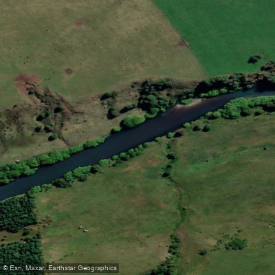
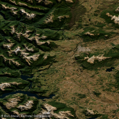
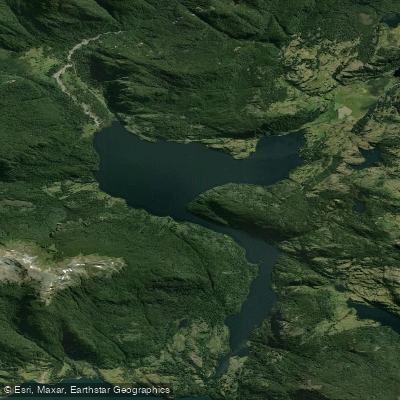
Explore Aysén waters
Top paddling waters
No waters available right now.
Popular Cities
Loading popular cities...
Explore near Río Ibáñez

Smarter Paddling Starts in the App.
Paddleways gives you everything you need to plan smarter, paddle better, and own every trip from first launch to takeout.