Humedal Desembocadura Río Carampangue
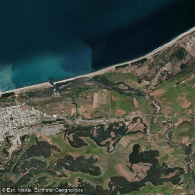
Humedal Desembocadura Río Carampangue
- Boat Ramps
- 0
- Access Points
- 3
- Campsites
- 0
The Humedal Arauco - Desembocadura Río Carampangue is a protected intertidal estuary located in the comuna of Arauco, provincia de Arauco, in the Biobío Region of Chile. The wetland covers approximately 204.3 hectares and has been declared a Santuario de la Naturaleza (Nature Sanctuary). Within its boundaries sits the Bien Nacional Protegido known as "Isla de los Pescadores, Río Carampangue," encompassing 45 hectares.
The water body is an intertidal estuarine marsh (marisma) characterized by a pronounced salinity gradient, which creates a mosaic of distinct habitats. Its hydrology is fed by two primary sources: freshwater from the Río Carampangue, which originates in the Cordillera de Nahuelbuta approximately 70 kilometers upstream, and saltwater that enters through the coastal mouth of the river. The system includes a coastal lagoon, extensive marsh zones, channels, and vegas (wetland meadows). The broader wetland system spans over 1,000 hectares when accounting for the full Río Carampangue watershed complex.
The estuary supports a notable diversity of invertebrates, amphibians, reptiles, and birds. Shallow-water zones and intertidal mudflats attract the greatest concentrations of bird species, making the area of particular interest for wildlife observation from the water. The wetland also provides ecosystem functions including flood attenuation, coastline stabilization, wave energy regulation, and protection against storm surges — conditions that paddlers should factor into trip planning, particularly regarding tidal influence and wave exposure near the river mouth.
Given its status as a Santuario de la Naturaleza, paddlers should be aware that this designation carries legal protections under Chilean law, and activities within the sanctuary may be subject to specific regulations. The intertidal character of the estuary means water levels, current direction, and channel depth will vary significantly with tidal cycles, which is a primary consideration for route planning. The presence of shallow mudflats and shifting channels typical of intertidal marsh environments should be anticipated throughout the system.
Water access, boat ramps & amenities
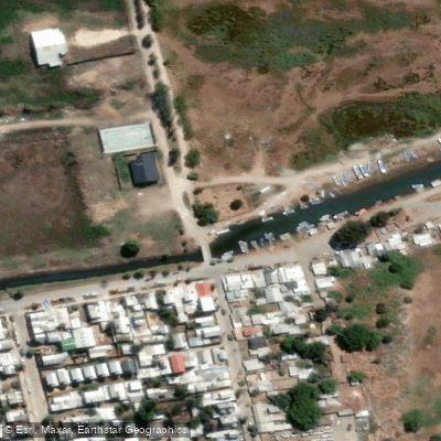
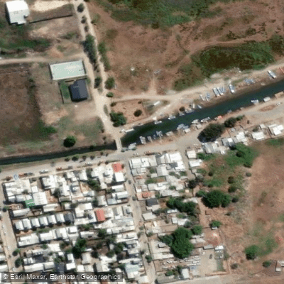
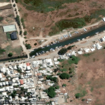
Learn how to get on Humedal Desembocadura Río Carampangue. Uncover great paddling access points, boat ramps, and all the facilities you need for an unforgettable day on the water. Some locations shown may border or include private property. Always check property boundaries and applicable regulations before visiting. PaddleWays's Public & Private Land layer can help you plan your access with confidence.
Paddle smarter with real-time insights
Whether you're en route and conditions shift or you're looking for the best spot based on current flows, we enable you to make informed decisions on the fly.







Biobío licenses and regulations
No licenses or regulations available for Biobío.
Find Places to Paddle

Over 400,000 Places to Paddle
Every user gets free access to launch points, boat ramps, and public property parcels.


Water and weather conditions (10 day forecast)
See the best times to paddle Humedal Desembocadura Río Carampangue and check the forecast before you go.
Rio Carampangue A. Abajo B.T. Planta Arauc0
Paddling near Humedal Desembocadura Río Carampangue
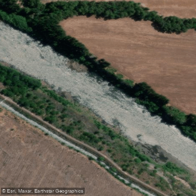
Río Biobío
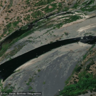
Río Laja
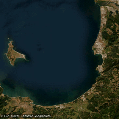
Golfo de Arauco
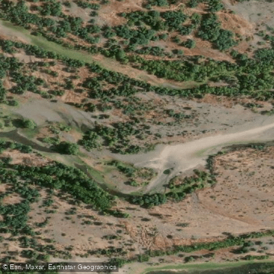
Río Itata
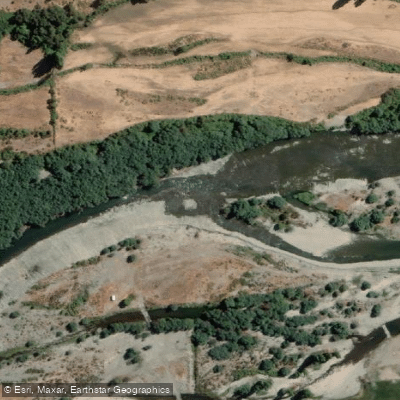
Río Diguillín
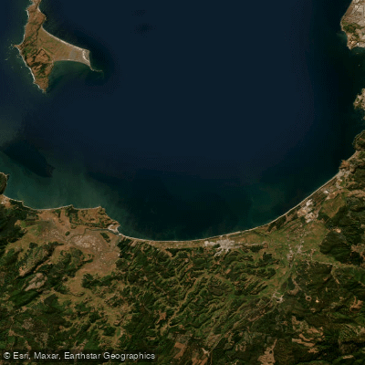
Bahía de Arauco
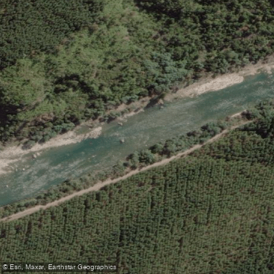
Río Ñuble
Río Rele
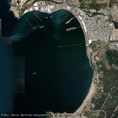
Bahía de Coronel
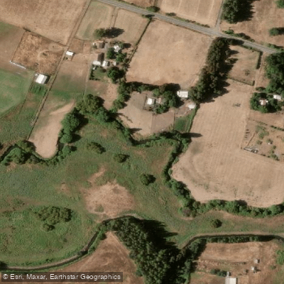
Estero Quilque
Explore Biobío waters
Top paddling waters
No waters available right now.
Popular Cities
Loading popular cities...
Explore near Humedal Desembocadura Río Carampangue

Smarter Paddling Starts in the App.
Paddleways gives you everything you need to plan smarter, paddle better, and own every trip from first launch to takeout.