Golfo Corcovado
- Saltwater
- Bay
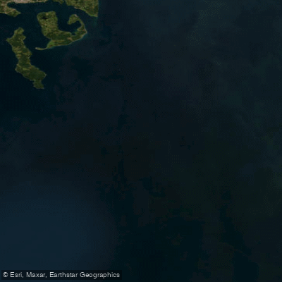
Golfo Corcovado
- Saltwater
- Bay
- Sq. miles
- 3,076
- Boat Ramps
- 0
- Access Points
- 0
- Campsites
- 0
The Golfo Corcovado is a large, open bay separating the Isla de Chiloé from the mainland Chilean coast. It is a significant body of open water, reaching up to 50 kilometers in width, and opens directly into the South Pacific Ocean to the south. To the north, it connects to the narrower Canal Chacao, which is approximately 3 kilometers wide and separates Chiloé from the mainland. This geography creates a major marine channel. The region is noted for great tidal amplitudes, meaning paddlers must plan for significant tidal ranges and strong currents, particularly near the Canal Chacao. The gulf's western shore is formed by the eastern coast of Chiloé, which features a narrow coastal plain from Bahía de Ancud southward, though this plain is interrupted by the foothills of the Cordillera de Piuchén. The area contains islands within the gulf, including Isla Acui and Isla Tranqui, the latter being the largest in its island group. The water body is a known habitat for marine mammals, including Chilean dolphins and Peale's dolphins. The open exposure to the South Pacific means paddlers can expect substantial wind fetch and potential for rough conditions, especially in the wider southern sections. The gulf is used by commercial fishing vessels, as indicated by reports of missing fishing boats in the area, signaling the presence of boat traffic that paddlers must be aware of.
Water access, boat ramps & amenities
Learn how to get on Golfo Corcovado. Uncover great paddling access points, boat ramps, and all the facilities you need for an unforgettable day on the water. Some locations shown may border or include private property. Always check property boundaries and applicable regulations before visiting. PaddleWays's Public & Private Land layer can help you plan your access with confidence.
Paddle smarter with real-time insights
Whether you're en route and conditions shift or you're looking for the best spot based on current flows, we enable you to make informed decisions on the fly.







Los Lagos licenses and regulations
No licenses or regulations available for Los Lagos.
Find Places to Paddle

Over 400,000 Places to Paddle
Every user gets free access to launch points, boat ramps, and public property parcels.


Tides, wind & water conditions (10 day forecast)
On open water, wind and tide matter as much as the weather. See the best times to paddle Golfo Corcovado and check the marine forecast before you launch.
Loading tide predictions…
Paddling near Golfo Corcovado
Río Chadmo
Lago Tepuhueico
Río Bravo
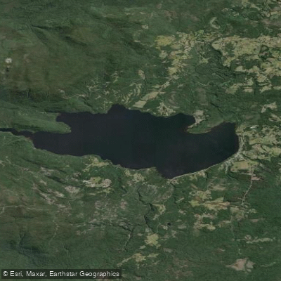
Lago Huillinco
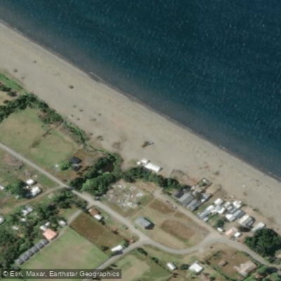
Playa Lelbún
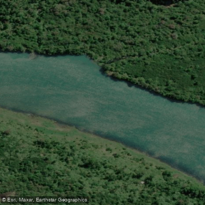
Río Yelcho
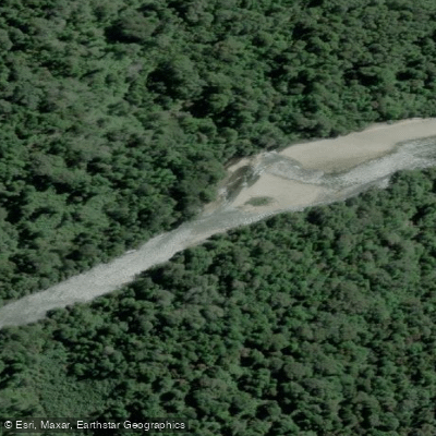
Río Negro
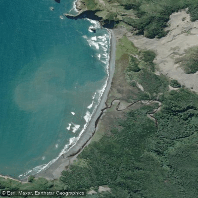
Playa Tricolor
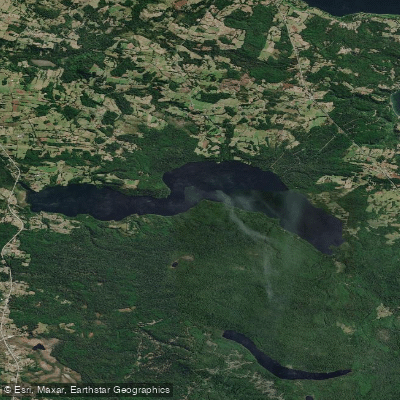
Lago Tarahuín
Explore Los Lagos waters
Top paddling waters
No waters available right now.
Popular Cities
Loading popular cities...
Explore near Golfo Corcovado

Smarter Paddling Starts in the App.
Paddleways gives you everything you need to plan smarter, paddle better, and own every trip from first launch to takeout.