Río Bravo
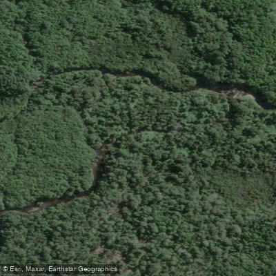
Río Bravo
- Boat Ramps
- 0
- Access Points
- 0
- Campsites
- 0
The Río Bravo is a whitewater river located within or adjacent to Parque Tepuhueico in the Los Lagos Region of southern Chile. The park encompasses 21,233 protected hectares of coastal temperate resinous forest, evergreen interior forest, rivers, lakes, lagoons, peat bogs, beaches, and dunes — the broader landscape reflecting the chiloense ecoregion.
The run is characterized by frequent water boofs and relatively few consequential drops, making for continuous, engaging whitewater without demanding frequent portaging. Paddlers familiar with the line can complete the run without leaving their boats, though at least one hole on the river is described as notably challenging and warrants attention. The overall character leans toward high-volume, boof-oriented whitewater rather than technical steep creeking.
The river sits at the southern end of Chile's paddling circuit, which means it requires a committed effort to reach. Its remote location and the logistical investment involved should factor into trip planning. The run has been paddled at medium-to-low water levels in late February, suggesting late summer conditions in the Southern Hemisphere are viable. Given its southerly latitude, paddlers should account for variable Patagonian weather and plan accordingly.
The Río Bravo flows through a landscape of significant ecological value, with the surrounding park protecting a range of native forest types and wetland habitats. A waterfall, Cascada Río Bravo, is also located within Parque Tepuhueico, indicating the river drops meaningfully through the terrain. For paddlers willing to make the journey south, the Río Bravo offers a quality whitewater experience in a relatively unvisited setting.
Water access, boat ramps & amenities
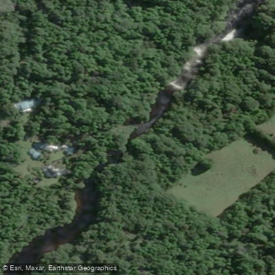
Learn how to get on Río Bravo. Uncover great paddling access points, boat ramps, and all the facilities you need for an unforgettable day on the water. Some locations shown may border or include private property. Always check property boundaries and applicable regulations before visiting. PaddleWays's Public & Private Land layer can help you plan your access with confidence.
Paddle smarter with real-time insights
Whether you're en route and conditions shift or you're looking for the best spot based on current flows, we enable you to make informed decisions on the fly.







Los Lagos licenses and regulations
No licenses or regulations available for Los Lagos.
Find Places to Paddle

Over 400,000 Places to Paddle
Every user gets free access to launch points, boat ramps, and public property parcels.


Water and weather conditions (10 day forecast)
See the best times to paddle Río Bravo and check the forecast before you go.
No forecast data available.
Paddling near Río Bravo
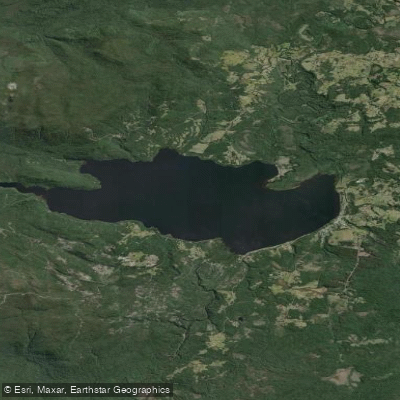
Lago Huillinco
Golfo Corcovado
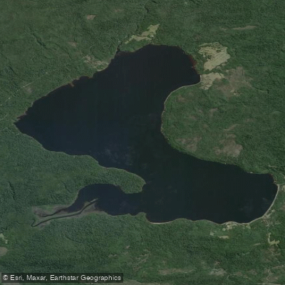
Lago Tepuhueico
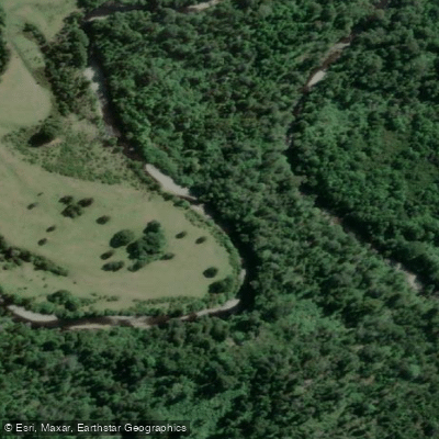
Río Negro
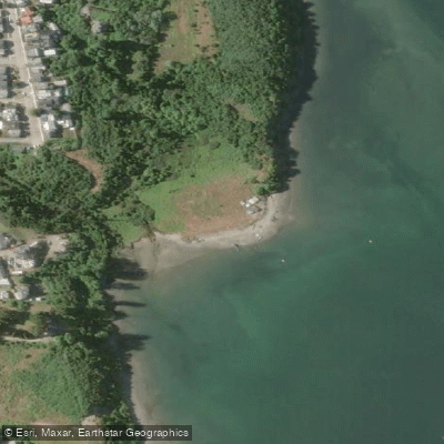
Playa Sabanilla
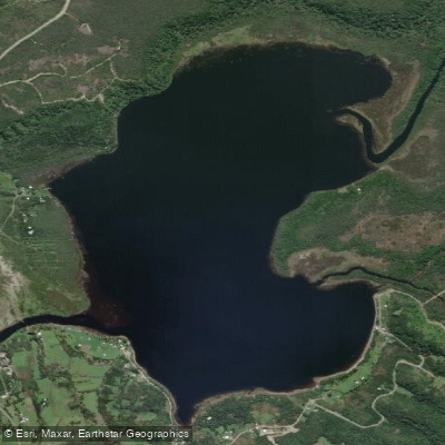
Lago Huelde
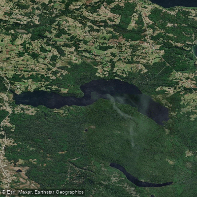
Lago Tarahuín
Golfo de Ancud
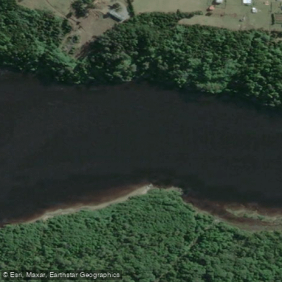
Río Chepu
Explore Los Lagos waters
Top paddling waters
No waters available right now.
Popular Cities
Loading popular cities...
Explore near Río Bravo
Access points
Nearby waters
More in Los Lagos

Smarter Paddling Starts in the App.
Paddleways gives you everything you need to plan smarter, paddle better, and own every trip from first launch to takeout.