Río Yelcho
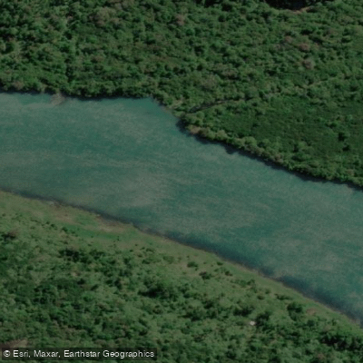
Río Yelcho
- Boat Ramps
- 0
- Access Points
- 0
- Campsites
- 0
The Río Yelcho flows through the Los Lagos Region of southern Chile, draining from Lago Yelcho and running to the Gulf of Corcovado. The river drains a basin of approximately 11,515 square kilometers and carries an average discharge of around 360 cubic meters per second, making it a substantial waterway by any measure.
For most of its length, the river runs smooth and fast — rated Class I/II — with few obstacles, making it accessible to a range of paddlers including those in sea kayaks. The banks are densely lined with Valdivian temperate rainforest, ferns, and other impenetrable rain forest vegetation that frames the river throughout its course. The surrounding landscape includes large mountains and, in places, dramatic glaciated volcanic backdrops such as Volcán Michimahuida.
One notable feature along the river is Tres Piedras, a Class II rapid encountered roughly an hour downstream from the Puerto Cárdenas bridge area. The Puerto Cárdenas bridge, located near the outlet of Lago Yelcho, serves as a practical reference point for entering the river. From there, the river meanders through lush, braided sections before eventually reaching the coast. One documented camp along the route is El Campo Arbol Acostado (Camp of the Leaning Tree), situated at a bend in the river and noted for its fish and bird life and surrounding forest trails.
The river supports abundant wildlife, including notable fish populations — brown and rainbow trout are present throughout the system, and the river also receives runs of king salmon, typically between January and March. The broader Lago Yelcho system is well known among fly fishers for large trout. The fishing season generally runs from mid-October through early May, which also corresponds to the most practical paddling window given Patagonia's climate.
The area sits within or adjacent to several protected areas, including Corcovado National Park and Pumalín Douglas Tompkins National Park, contributing to the largely undeveloped character of the riverbanks. The nearest significant town is Chaitén, located roughly 50 kilometers north of Lago Yelcho. Access to the river corridor is via the Carretera Austral, which passes through Puerto Cárdenas near the lake outlet.
Water access, boat ramps & amenities
Learn how to get on Río Yelcho. Uncover great paddling access points, boat ramps, and all the facilities you need for an unforgettable day on the water. Some locations shown may border or include private property. Always check property boundaries and applicable regulations before visiting. PaddleWays's Public & Private Land layer can help you plan your access with confidence.
Paddle smarter with real-time insights
Whether you're en route and conditions shift or you're looking for the best spot based on current flows, we enable you to make informed decisions on the fly.







Los Lagos licenses and regulations
No licenses or regulations available for Los Lagos.
Find Places to Paddle

Over 400,000 Places to Paddle
Every user gets free access to launch points, boat ramps, and public property parcels.


Water and weather conditions (10 day forecast)
See the best times to paddle Río Yelcho and check the forecast before you go.
No forecast data available.
Paddling near Río Yelcho
Río Chadmo
Lago Tepuhueico
Golfo Corcovado
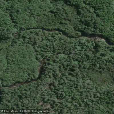
Río Bravo
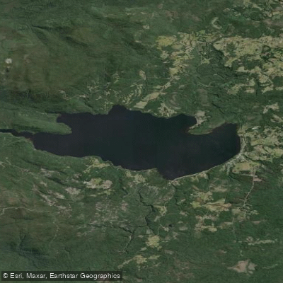
Lago Huillinco
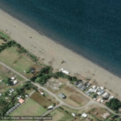
Playa Lelbún
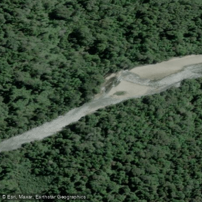
Río Negro
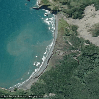
Playa Tricolor
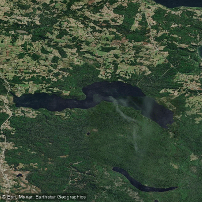
Lago Tarahuín
Explore Los Lagos waters
Top paddling waters
No waters available right now.
Popular Cities
Loading popular cities...
Explore near Río Yelcho
Access points
Nearby waters
More in Los Lagos

Smarter Paddling Starts in the App.
Paddleways gives you everything you need to plan smarter, paddle better, and own every trip from first launch to takeout.