Río Chepu
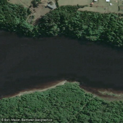
Río Chepu
- Boat Ramps
- 0
- Access Points
- 1
- Campsites
- 0
Río Chepu is the largest river on Chiloé Island, located in the Los Lagos Region of southern Chile. The name "Chepu" translates roughly as "place of encounters," and the river flows westward into the Pacific Ocean, creating a landscape where freshwater mixes with tidal influence from the sea. The small town of Chepu sits on the river's shore and serves as the primary base for paddling activity. Access from Ancud involves taking a southbound bus to the km 25 stop on Ruta 5 (Cruce de Chepu), from which local operators can arrange transport to the river.
The defining feature of the Río Chepu for paddlers is the sunken forest — a vast stand of dead tree trunks rising from the water, created when the 1960 earthquake (the strongest ever recorded) caused the land to drop and saltwater from the sea flooded the valley, killing the trees. The result is a surreal, open landscape of grey, bare trunks extending across the water. Paddling through this area at dawn, when mist sits on the river, is a particularly striking experience. Some operators run kayak excursions specifically timed to arrive at the sunken forest in the early morning hours, paddling upriver for two to three hours in low light before returning.
Wildlife is a notable draw. River otters (huillín) are reported to be relatively common here compared to elsewhere in Chile. Birdlife is diverse and includes the Cuca Heron, Imperial Heron, Kingfisher, cormorants, and the Cahuil seagull, among others. Coypus are also present in the area.
Beyond the sunken forest, paddlers can navigate toward Laguna Coluco or continue downriver toward the Pacific and the Muelle de la Luz, a pier with local cultural significance. The river's character is generally calm enough for kayaking, and guided tours operate by both kayak and motorized boat. Local outfitters provide equipment including kayaks, dry bags, and two-way radios for safety on the water. Accommodation options near the river include ecolodge-style facilities with views over the water.
Water access, boat ramps & amenities
Learn how to get on Río Chepu. Uncover great paddling access points, boat ramps, and all the facilities you need for an unforgettable day on the water. Some locations shown may border or include private property. Always check property boundaries and applicable regulations before visiting. PaddleWays's Public & Private Land layer can help you plan your access with confidence.
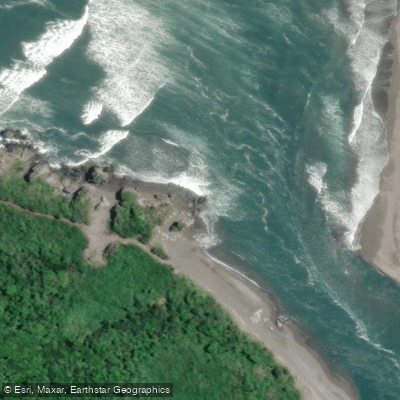
Paddle smarter with real-time insights
Whether you're en route and conditions shift or you're looking for the best spot based on current flows, we enable you to make informed decisions on the fly.







Los Lagos licenses and regulations
No licenses or regulations available for Los Lagos.
Find Places to Paddle

Over 400,000 Places to Paddle
Every user gets free access to launch points, boat ramps, and public property parcels.


Water and weather conditions (10 day forecast)
See the best times to paddle Río Chepu and check the forecast before you go.
No forecast data available.
Paddling near Río Chepu
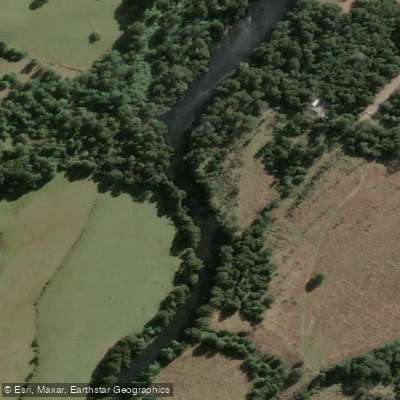
Río Maullín
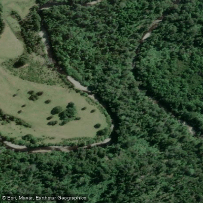
Río Negro
Golfo de Ancud
Río Duhatao
Lechagua
Río Metrequén
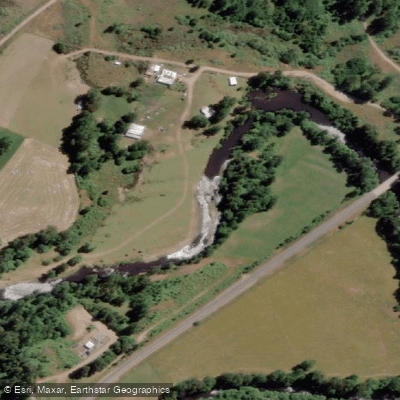
Río Llico
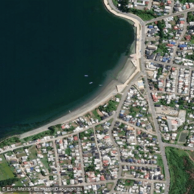
Playa Fátima
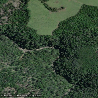
Río Pescado
Explore Los Lagos waters
Top paddling waters
No waters available right now.
Popular Cities
Loading popular cities...
Explore near Río Chepu
Access points
Nearby waters
More in Los Lagos

Smarter Paddling Starts in the App.
Paddleways gives you everything you need to plan smarter, paddle better, and own every trip from first launch to takeout.