Golfo de Ancud
- Saltwater
- Bay
Golfo de Ancud
- Saltwater
- Bay
- Sq. miles
- 1,327
- Boat Ramps
- 0
- Access Points
- 0
- Campsites
- 0
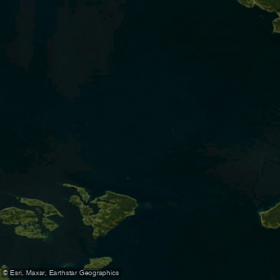
The Golfo de Ancud is a large, open bay of the Pacific Ocean located in the Provincia de Palena, Chile, forming part of the broader Los Lagos Region. It is a significant saltwater body, approximately 52 nautical miles wide and 52 nautical miles long, bounded to the east by the continental mainland of Palena and to the west by the eastern coast of Isla Grande de Chiloé. The gulf's coastline along the Palena mainland is characterized by a complex, deeply indented shoreline that transitions into the steep slopes of the Andes Mountains, which feature prominent, snow-capped volcanic peaks such as Hornopirén, Huequi, Michimahuida, and Corcovado. The region experiences a very humid, temperate rainy climate with precipitation throughout the year and average monthly temperatures that rarely fall below 6°C, though oceanic influence maintains a cool thermal uniformity. For paddlers, this translates to a consistently cool and wet environment where preparedness for rain and cold is essential. The water temperature is low, averaging around 9.4°C, presenting a year-round risk of hypothermia. Wind conditions can vary, with moderate breezes being a frequent probability. The gulf experiences significant tides, with a tidal range exceeding 2.9 meters, as indicated by a typical low tide of -1.35 meters and a high tide of over 1.6 meters. This substantial tidal exchange will generate strong currents, particularly through the various channels connecting the gulf to adjacent bodies of water like the Golfo Corcovado, including Paso Imelev, Canal Quicavi, Canal Apiao, and Canal Desertores. Paddlers must plan launches, crossings, and routes carefully around these tidal currents. The gulf's open exposure to the Pacific means it can develop considerable fetch, leading to rough sea conditions, especially when combined with the prevailing winds. The area sees commercial and recreational boat traffic navigating the described channels. The coastal towns of Puerto Montt and Castro are major population centers on the gulf's periphery, potentially offering access points. The landscape is dominated by dense forests on the islands and dramatic mountainous terrain on the mainland, with numerous smaller islands within the gulf such as Maillen, Puluqui, Queullín, and the Desertores group. The aesthetic is one of raw, fjord-like scenery shaped by geological faulting, offering a wilderness paddling experience of considerable scale and challenge, suitable only for experienced sea kayakers equipped for cold, rough, and remote conditions.
Water access, boat ramps & amenities
Learn how to get on Golfo de Ancud. Uncover great paddling access points, boat ramps, and all the facilities you need for an unforgettable day on the water. Some locations shown may border or include private property. Always check property boundaries and applicable regulations before visiting. PaddleWays's Public & Private Land layer can help you plan your access with confidence.
Paddle smarter with real-time insights
Whether you're en route and conditions shift or you're looking for the best spot based on current flows, we enable you to make informed decisions on the fly.







Los Lagos licenses and regulations
No licenses or regulations available for Los Lagos.
Find Places to Paddle

Over 400,000 Places to Paddle
Every user gets free access to launch points, boat ramps, and public property parcels.


Tides, wind & water conditions (10 day forecast)
On open water, wind and tide matter as much as the weather. See the best times to paddle Golfo de Ancud and check the marine forecast before you launch.
Loading tide predictions…
Paddling near Golfo de Ancud
Río Maullín
Lago Llanquihue
Río Chamiza
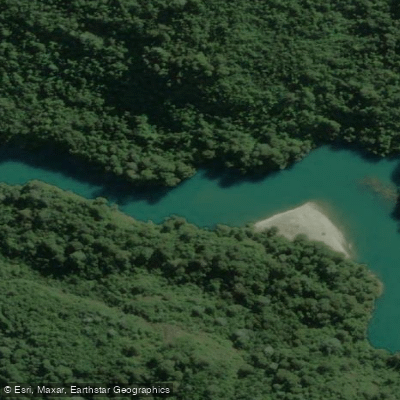
Río Puelo
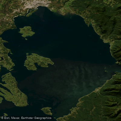
Seno de Reloncaví
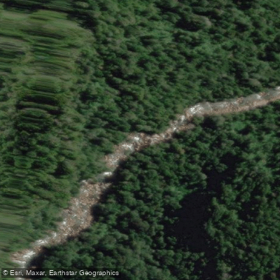
Río Cochamó
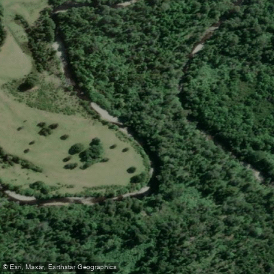
Río Negro
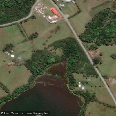
Laguna San Ramón
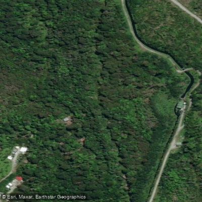
Río Cuchildeo
Explore Los Lagos waters
Top paddling waters
No waters available right now.
Popular Cities
Loading popular cities...
Explore near Golfo de Ancud

Smarter Paddling Starts in the App.
Paddleways gives you everything you need to plan smarter, paddle better, and own every trip from first launch to takeout.