Río Maullín
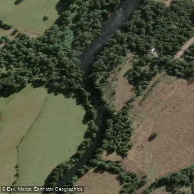
Río Maullín
- Boat Ramps
- 0
- Access Points
- 1
- Campsites
- 0
The Río Maullín originates as the outflow of Lago Llanquihue in the city of Llanquihue and flows generally southwestward for approximately 85 kilometers before emptying into the Gulf of Coronados via a tidal estuary. The river drains a basin of roughly 3,972 square kilometers and carries an average discharge of around 100 cubic meters per second. The lower course transitions into a tidal estuary, which is an important consideration for timing paddling trips in that section.
The 1960 Valdivia earthquake triggered landslides that altered the river's navigability, and today the Río Maullín can only be traveled by small boats and human-powered craft. This has effectively preserved the river's natural surroundings, keeping its flora and fauna largely intact. Paddlers moving through the corridor encounter dense riparian forest, networks of wetlands, and narrow channels. One particularly notable feature is a submerged forest — a section where trees stand partially inundated, creating a distinctive paddling environment that draws considerable visitor interest. The wetlands along the river, especially in the estuary near Laguna Quenuir, support exceptional diversity of aquatic birdlife compared to other stretches of the Chilean coast.
A well-documented multi-day route runs the full length of the river over three days and two nights, putting in near the source at Lago Llanquihue and finishing at Pangal beach near the city of Maullín. The itinerary passes through the rural sectors of El Gato, Puelpun, Olmopulli, Cebadal, Peñol, and the wetlands of the Cariquilda River. Overnight accommodation in rural houses and glamping on the riverbank is available along this route. Shorter half-day and full-day kayak and SUP tours also operate out of Llanquihue, with a meeting point at kilometer 2.4 on route V-155 on the coastal road. These shorter trips typically include 2.5 hours of paddling with stops for birdwatching.
Insect repellent is advisable near the river, as horse flies have been noted in the area. Light-colored clothing is also recommended to reduce attraction to biting insects. The river supports populations of brown trout, rainbow trout, and salmon, making it a destination for fishing as well as paddling.
Water access, boat ramps & amenities
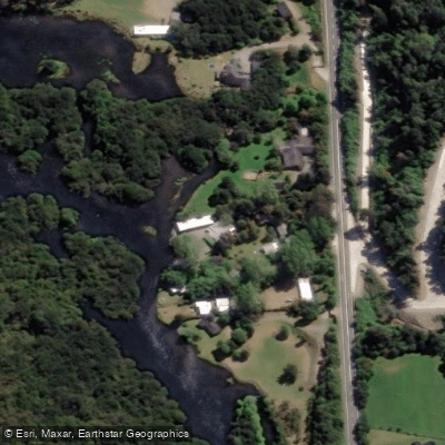
Learn how to get on Río Maullín. Uncover great paddling access points, boat ramps, and all the facilities you need for an unforgettable day on the water. Some locations shown may border or include private property. Always check property boundaries and applicable regulations before visiting. PaddleWays's Public & Private Land layer can help you plan your access with confidence.
Paddle smarter with real-time insights
Whether you're en route and conditions shift or you're looking for the best spot based on current flows, we enable you to make informed decisions on the fly.







Los Lagos licenses and regulations
No licenses or regulations available for Los Lagos.
Find Places to Paddle

Over 400,000 Places to Paddle
Every user gets free access to launch points, boat ramps, and public property parcels.


Water and weather conditions (10 day forecast)
See the best times to paddle Río Maullín and check the forecast before you go.
Rio Maullin En Llanquihue (Efluente)
All Flow Stations
Paddling near Río Maullín
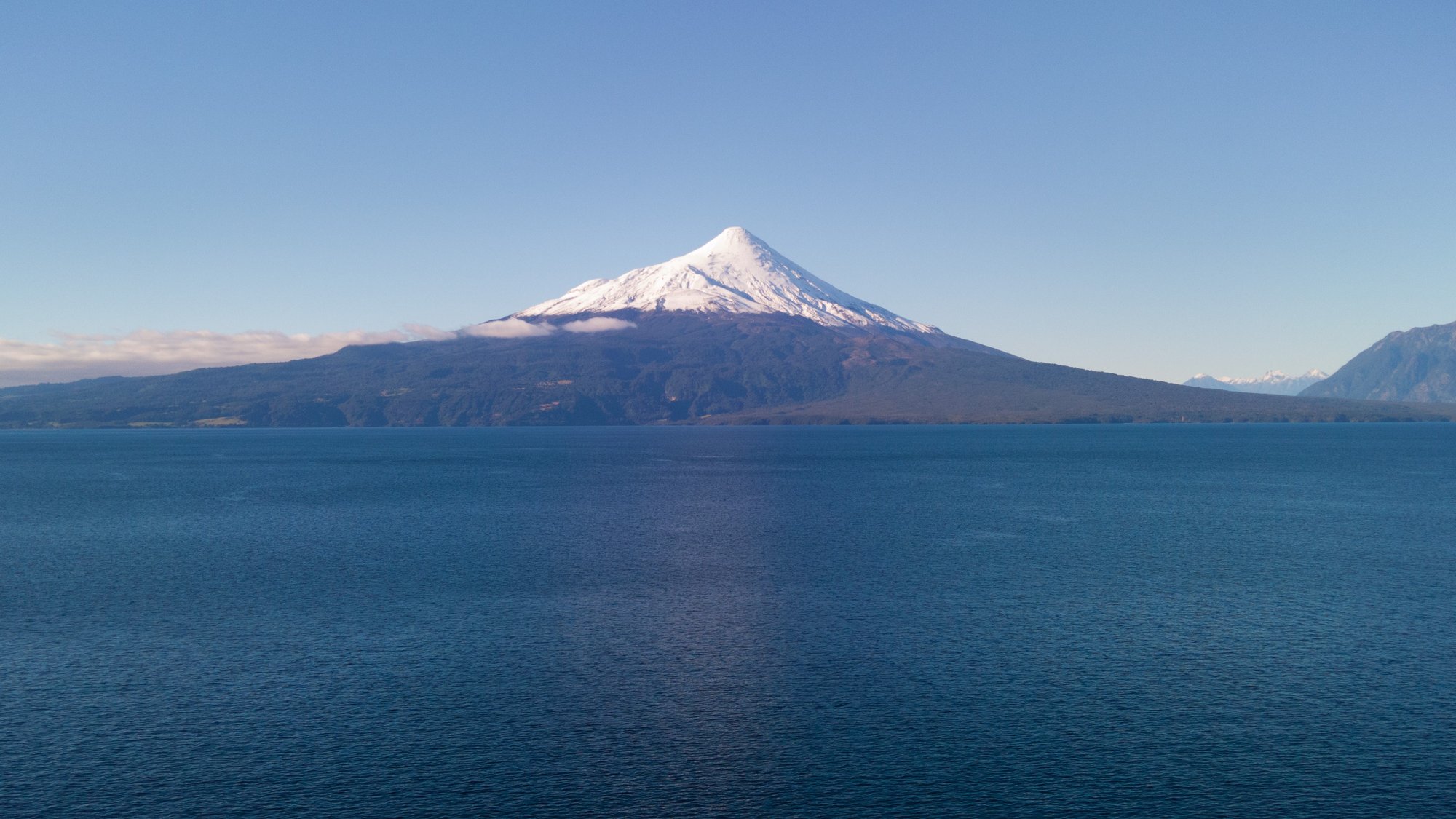
Lago Llanquihue
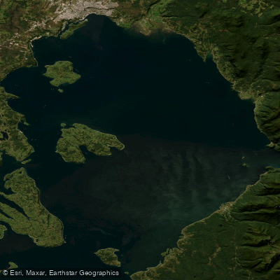
Seno de Reloncaví
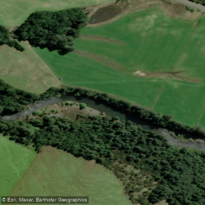
Río Chamiza
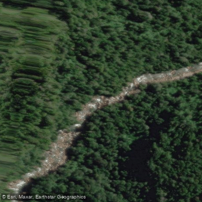
Río Cochamó
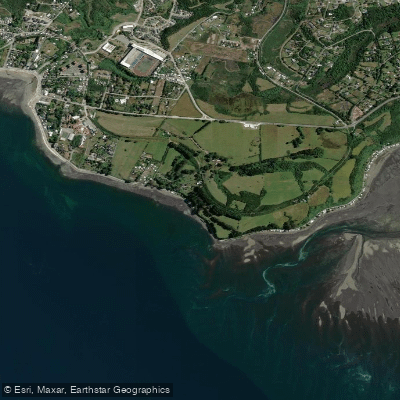
Playa Pelluhuin
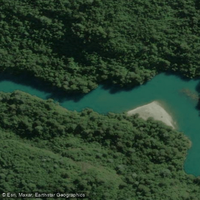
Río Puelo
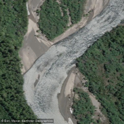
Río Petrohué
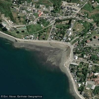
Playa Pelluco
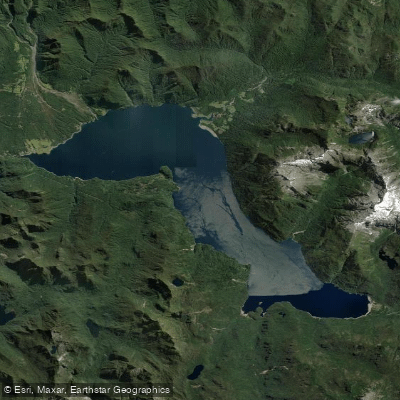
Lago Chapo
Explore Los Lagos waters
Top paddling waters
No waters available right now.
Popular Cities
Loading popular cities...
Explore near Río Maullín

Smarter Paddling Starts in the App.
Paddleways gives you everything you need to plan smarter, paddle better, and own every trip from first launch to takeout.