Río Chaihuín
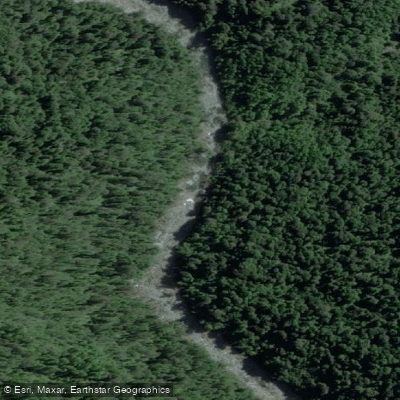
Río Chaihuín
- Boat Ramps
- 0
- Access Points
- 1
- Campsites
- 5
The Río Chaihuín flows through the Los Ríos Region of southern Chile, originating in the Cordillera Pelada (Chilean Coast Range) and running westward through dense Valdivian temperate rainforest before discharging into the Pacific Ocean at the small coastal hamlet of Caleta Chaihuín. The river's mouth is characterized by a shallow sandbar across a barrier-bar estuary, formed by river silt interacting with prevailing coastal currents. The surrounding landscape borders both the Reserva Costera Valdiviana and the Parque Nacional Alerce Costero, giving the corridor a protected, largely undeveloped character.
The primary paddling route documented for this river covers approximately 24 kilometers, running upstream from the river mouth at Caleta Chaihuín to Cadillal Alto, the last inhabited settlement before the boundary of the Parque Nacional Alerce Costero. This route is typically run as a two-day trip, with paddlers camping overnight in the forest and the option to dine with a local family living upriver. On the second day, a trek through forests of coigüe is possible before paddling back downstream to return to Valdivia by the end of the day. The difficulty is rated as medium. Organized guided kayak trips on this route require a minimum group size of six people from the same party.
The river passes through dense Valdivian rainforest for much of its length, with the forest composition including coigüe and other native species characteristic of this temperate rainforest ecosystem. The area around Cadillal Medio has also been documented as a kayak traversal point. The administration and main entrance to the Reserva Costera Valdiviana is located at Caleta Chaihuín at the river mouth, where the small community of roughly 156 residents (as of 2017) is situated. The indigenous Huilliche people are the traditional inhabitants of this coastal area.
Paddlers should be aware that the river mouth involves a shallow crossing over a sandbar into the Pacific Ocean, which warrants caution depending on swell and tidal conditions. The river's protected status within the boundaries of adjacent reserves may carry specific access or conduct regulations that paddlers should verify before planning a trip.
Water access, boat ramps & amenities
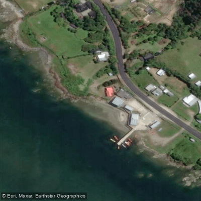
Learn how to get on Río Chaihuín. Uncover great paddling access points, boat ramps, and all the facilities you need for an unforgettable day on the water. Some locations shown may border or include private property. Always check property boundaries and applicable regulations before visiting. PaddleWays's Public & Private Land layer can help you plan your access with confidence.
Paddle smarter with real-time insights
Whether you're en route and conditions shift or you're looking for the best spot based on current flows, we enable you to make informed decisions on the fly.







Los Ríos licenses and regulations
No licenses or regulations available for Los Ríos.
Find Places to Paddle

Over 400,000 Places to Paddle
Every user gets free access to launch points, boat ramps, and public property parcels.


Water and weather conditions (10 day forecast)
See the best times to paddle Río Chaihuín and check the forecast before you go.
No forecast data available.
Paddling near Río Chaihuín
Río Valdivia
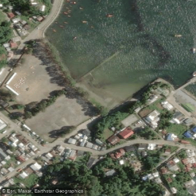
Playa El Espigón

Río Calle Calle
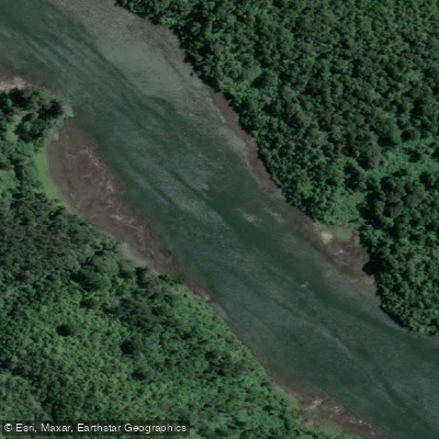
Río Cutipay
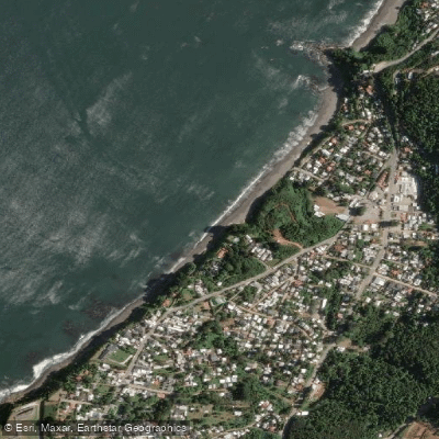
Playa Grande
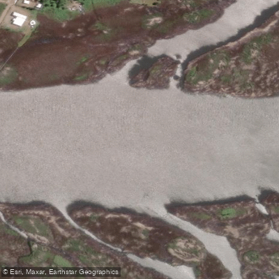
Río Angachilla
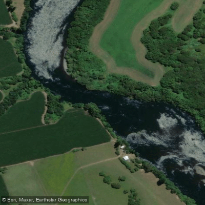
Río Bueno
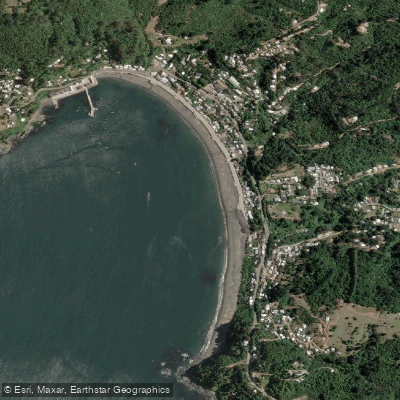
Playa Los Molinos
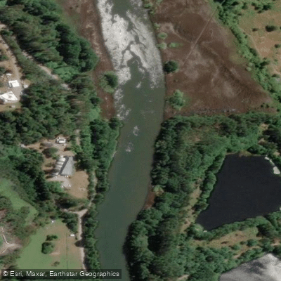
Río Cau Cau
Explore Los Ríos waters
Top paddling waters
No waters available right now.
Popular Cities
Loading popular cities...
Explore near Río Chaihuín
Access points
Nearby waters
More in Los Ríos

Smarter Paddling Starts in the App.
Paddleways gives you everything you need to plan smarter, paddle better, and own every trip from first launch to takeout.