Río Angachilla
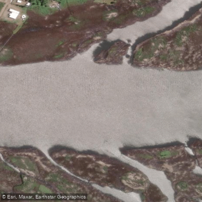
Río Angachilla
- Boat Ramps
- 0
- Access Points
- 1
- Campsites
- 0
Río Angachilla is a navigable river extending south of Valdivia, in the Los Ríos region of Chile. It is a tributary of the Río Valdivia and forms part of the Valdivia river basin, flowing alongside other waterways that encircle the city, including the Río Valdivia, Río Cruces, and Río Calle Calle. The river serves as the hydrological backbone of the Santuario de la Naturaleza Humedales de Angachilla, connecting the various wetlands that make up this protected area.
The river's flow varies seasonally, with higher water levels during the winter months due to rainfall. This makes winter and early spring the periods of greatest flow, while summer months tend to see lower water volumes.
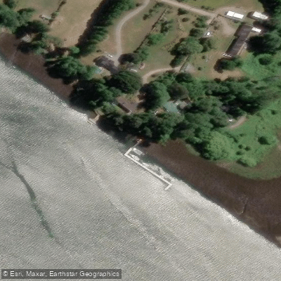
Two public launch points provide access to the river: the Muelle público on Camino Angachilla and the Muelle público Las Gaviotas. The meeting point for organized tours is Casa Río Vivo, located at the end of Camino Angachilla. Both kayak and SUP are suitable craft for paddling here. Paddlers are asked to move quietly and maintain a minimum distance of 20 meters from wildlife at all times.
The river passes through wetlands rich in birdlife typical of southern Chile, and the broader sanctuary harbors notable fauna including the huillín (South American river otter), a species considered endangered. The surrounding landscape also contains traces of the 1960 earthquake, visible at certain points along the route.
Guided tours are available through several local operators, including Río Vivo, Desde mi kayak, and Namaste y Perreo. A full-day guided trip runs approximately eight hours on the water, while a longer guided route through the sanctuary requires prior paddling experience and takes roughly five hours on the water. The minimum age for organized tours is six years, with a maximum weight of 110 kg and a maximum hip diameter of 90 cm for cockpit fit. Guided trips include a bilingual (Spanish and English) guide, full kayak equipment, a snack, and a box lunch.
The Corporación Humedales de Angachilla administers the sanctuary and promotes low-impact kayak routes as part of its conservation and public awareness mission.
Water access, boat ramps & amenities
Learn how to get on Río Angachilla. Uncover great paddling access points, boat ramps, and all the facilities you need for an unforgettable day on the water. Some locations shown may border or include private property. Always check property boundaries and applicable regulations before visiting. PaddleWays's Public & Private Land layer can help you plan your access with confidence.
Paddle smarter with real-time insights
Whether you're en route and conditions shift or you're looking for the best spot based on current flows, we enable you to make informed decisions on the fly.







Los Ríos licenses and regulations
No licenses or regulations available for Los Ríos.
Find Places to Paddle

Over 400,000 Places to Paddle
Every user gets free access to launch points, boat ramps, and public property parcels.


Water and weather conditions (10 day forecast)
See the best times to paddle Río Angachilla and check the forecast before you go.
No forecast data available.
Paddling near Río Angachilla
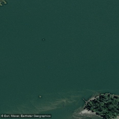
Río Valdivia

Río Calle Calle
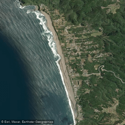
Playa Curiñanco
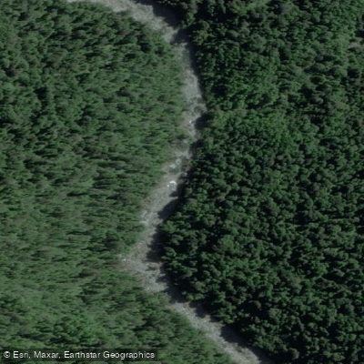
Río Chaihuín
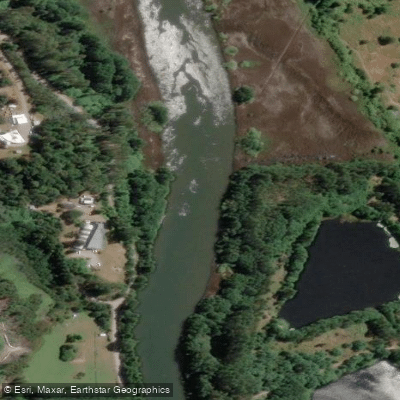
Río Cau Cau
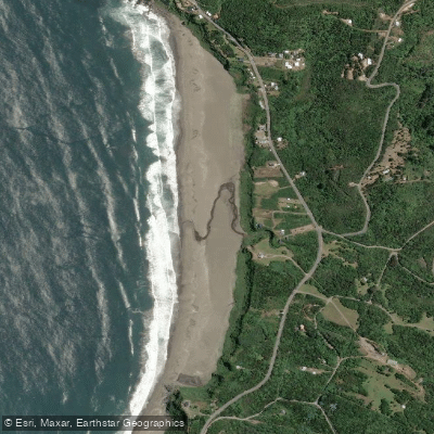
Playa Calfuco
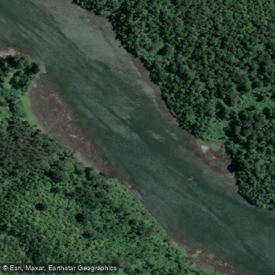
Río Cutipay
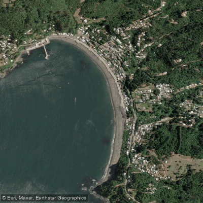
Playa Los Molinos

Río Toltén
Explore Los Ríos waters
Top paddling waters
No waters available right now.
Popular Cities
Loading popular cities...
Explore near Río Angachilla

Smarter Paddling Starts in the App.
Paddleways gives you everything you need to plan smarter, paddle better, and own every trip from first launch to takeout.