Río Calle Calle

Río Calle Calle
- Boat Ramps
- 0
- Access Points
- 6
- Campsites
- 2
The Río Calle Calle is the principal urban river of Valdivia in the Región de Los Ríos, flowing approximately 55 kilometers from its origin at Lago Riñihue — where the Río San Pedro and Río Quinchilca converge — westward through the city of Valdivia, where it joins the Río Valdivia near the city center. The river is navigable along much of its length, with calm, slow-moving water that makes it accessible to a wide range of paddlers.
The river passes directly through Valdivia, a city of more than 170,000 inhabitants, giving the paddling experience a distinctly urban character through much of its lower reach. The Costanera de Valdivia runs along the riverbank and features pedestrian walkways and embarcaderos, meaning paddlers will share the water with catamaran tour boats, motorized lanchas, and other recreational watercraft. The Puente Calle-Calle, with its tall arches designed to allow boat passage, is one of the prominent landmarks visible from the water. The Pedro de Valdivia Bridge, connecting the city center with Isla Teja, was constructed between 1938 and 1953 and is another notable structure along the route.
Away from the city, the river corridor passes through rural areas. Accommodations with river access and docks exist along the banks in areas such as Máfil, roughly 30 kilometers from Valdivia, and near Antilhue, suggesting put-in or take-out options exist in the rural mid-section of the river. At least one property near the river offers shared kayak access, indicating that informal paddling infrastructure exists along the corridor.
The river's name derives from the Mapudungun word kallekalle. The waterway has been used for navigation and fishing since pre-Hispanic times by Huilliche peoples, and after the founding of Valdivia in 1552 it served as a commercial and transport artery connecting the city to the sea via the Río Valdivia and ultimately the Bahía de Corral. This historical role as a navigable commercial route reinforces the river's generally calm and wide character throughout its lower reaches.
Paddlers should be aware of commercial and tourist boat traffic, particularly in the urban section near Valdivia, which represents the primary navigational consideration on this river.
Water access, boat ramps & amenities
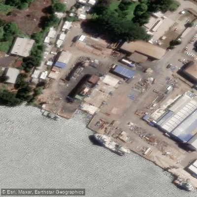
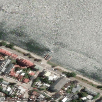
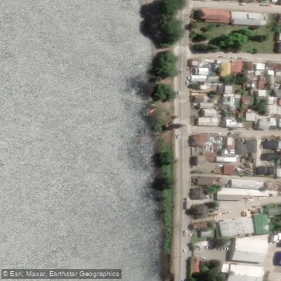
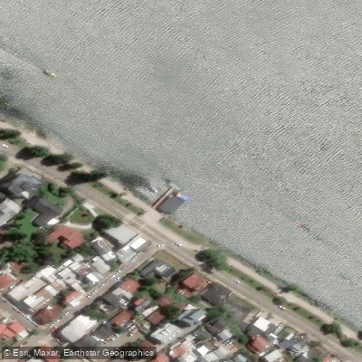
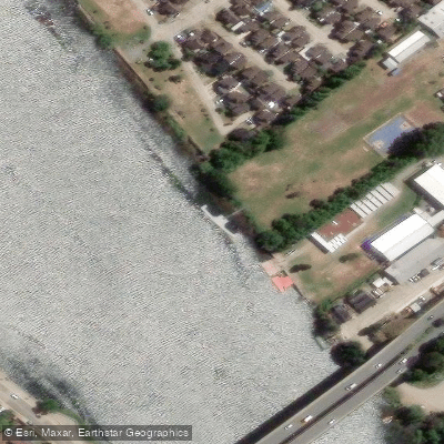
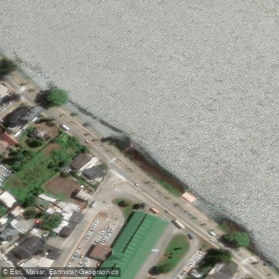
Learn how to get on Río Calle Calle. Uncover great paddling access points, boat ramps, and all the facilities you need for an unforgettable day on the water. Some locations shown may border or include private property. Always check property boundaries and applicable regulations before visiting. PaddleWays's Public & Private Land layer can help you plan your access with confidence.
Paddle smarter with real-time insights
Whether you're en route and conditions shift or you're looking for the best spot based on current flows, we enable you to make informed decisions on the fly.







Los Ríos licenses and regulations
No licenses or regulations available for Los Ríos.
Find Places to Paddle

Over 400,000 Places to Paddle
Every user gets free access to launch points, boat ramps, and public property parcels.


Water and weather conditions (10 day forecast)
See the best times to paddle Río Calle Calle and check the forecast before you go.
Rio Calle Calle En Balsa San Javier
All Flow Stations
Paddling near Río Calle Calle
Río Valdivia
Playa Curiñanco
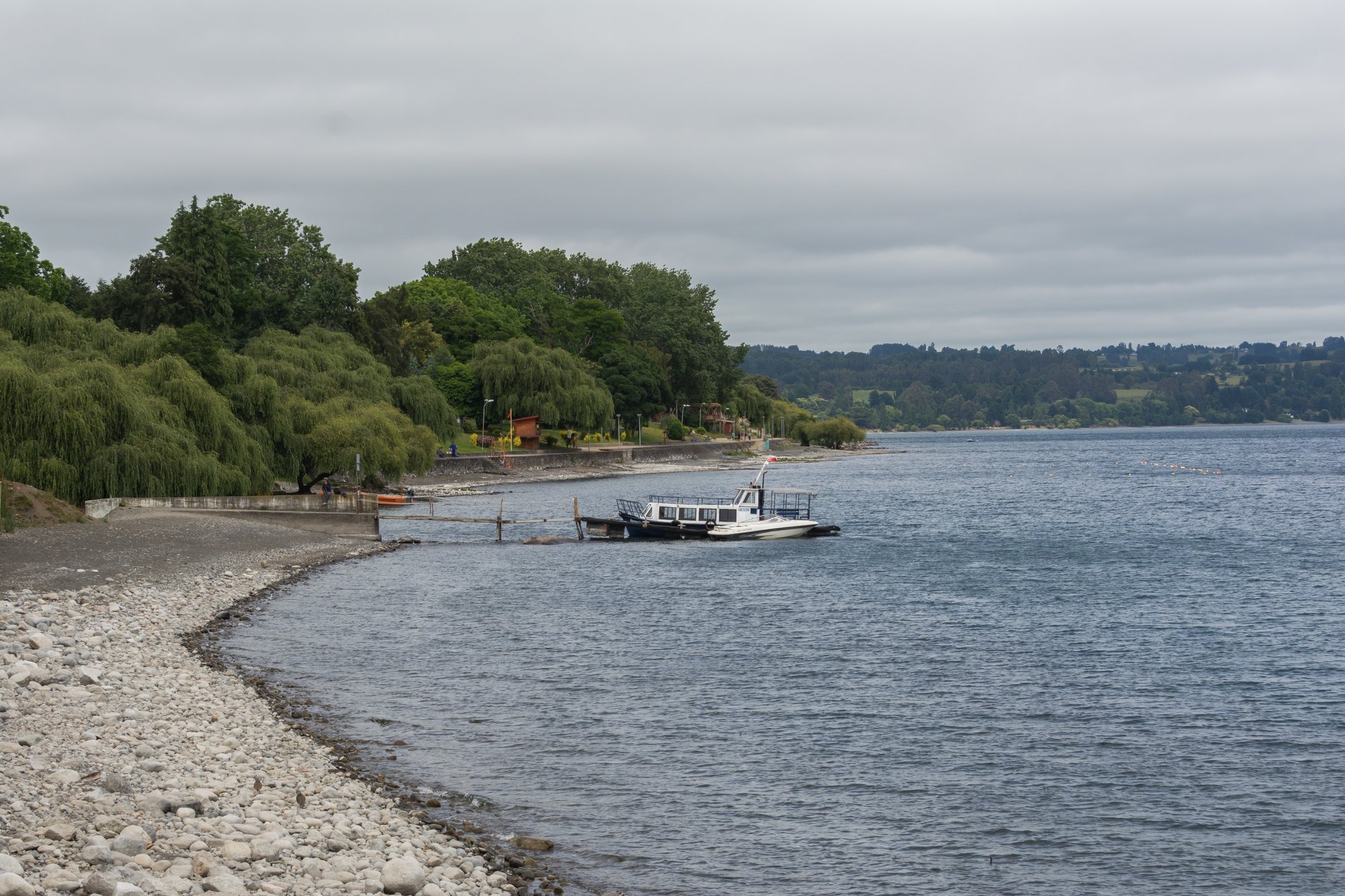
Lago Ranco
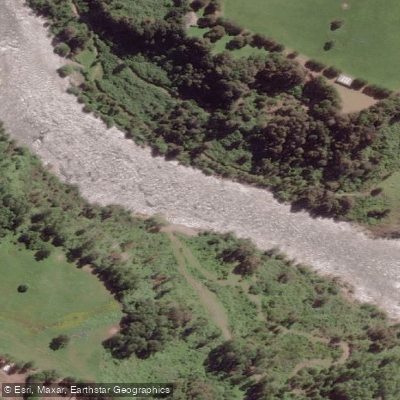
Río San Pedro
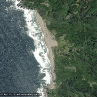
Playa Pelluco
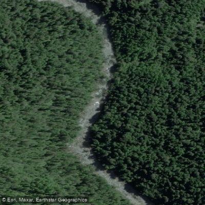
Río Chaihuín
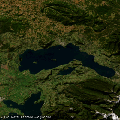
Lago Calafquén
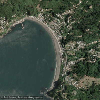
Playa Los Molinos
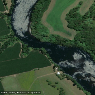
Río Bueno
Explore Los Ríos waters
Top paddling waters
No waters available right now.
Popular Cities
Loading popular cities...
Explore near Río Calle Calle
Access points
Nearby waters
More in Los Ríos

Smarter Paddling Starts in the App.
Paddleways gives you everything you need to plan smarter, paddle better, and own every trip from first launch to takeout.