Estero Las Cadenas
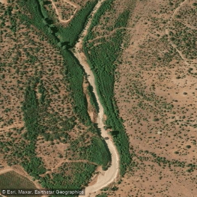
Estero Las Cadenas
- Boat Ramps
- 0
- Access Points
- 0
- Campsites
- 0
Estero Las Cadenas is a wetland waterway located in the O'Higgins Region of Chile, approximately 80 kilometers south of Santiago. The estero flows through predominantly agricultural land in a sparsely populated area, with a population density of around 23 inhabitants per square kilometer. It is associated with two municipalities: San José de Marchigüe and Pichidegua, and its coordinates place it at approximately 34°11′S, 70°50′W.
The waterway is notable for its position within a wetland ecosystem that supports diverse local flora and fauna. A key geographical feature is that the estero leads to the confluence of the río Cachapoal and the río Tinguiririca, the point where Lago Rapel originates. This confluence serves as the primary destination for guided paddling tours operating in the area.
The standard guided route covers approximately 5 kilometers. Morning departures, which typically last around three hours, allow paddlers to reach the river confluence, while afternoon or sunset departures run approximately two hours. Both kayak and stand-up paddleboard (SUP) options are available. The operator Cachapoal Salvaje, registered with Sernatur, runs guided tours on this route and has also offered specialty experiences such as nighttime astro-kayak sessions with stargazing from the water.
Facilities at the launch point include restrooms, changing rooms, secure parking, a picnic area, and a first aid kit. Guides hold certifications in remote area rescue, kayak rescue, and CPR. The meeting point location is provided to participants upon booking.
Tours have been offered on weekday evenings and weekend mornings and afternoons, suggesting the waterway is accessible across multiple times of day. The wetland environment provides an opportunity to observe local biodiversity, and a quick-reference biodiversity identification guide for the wetlands of Pichidegua — covering Humedal Las Juntas and Estero Cadenas — has been produced in association with Cachapoal Salvaje, indicating the area holds recognized ecological value.
Water access, boat ramps & amenities
Learn how to get on Estero Las Cadenas. Uncover great paddling access points, boat ramps, and all the facilities you need for an unforgettable day on the water. Some locations shown may border or include private property. Always check property boundaries and applicable regulations before visiting. PaddleWays's Public & Private Land layer can help you plan your access with confidence.
Paddle smarter with real-time insights
Whether you're en route and conditions shift or you're looking for the best spot based on current flows, we enable you to make informed decisions on the fly.







O'higgins licenses and regulations
No licenses or regulations available for O'higgins.
Find Places to Paddle

Over 400,000 Places to Paddle
Every user gets free access to launch points, boat ramps, and public property parcels.


Water and weather conditions (10 day forecast)
See the best times to paddle Estero Las Cadenas and check the forecast before you go.
No forecast data available.
Paddling near Estero Las Cadenas
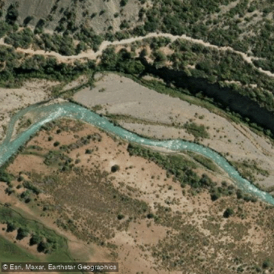
Rio Cachapoal
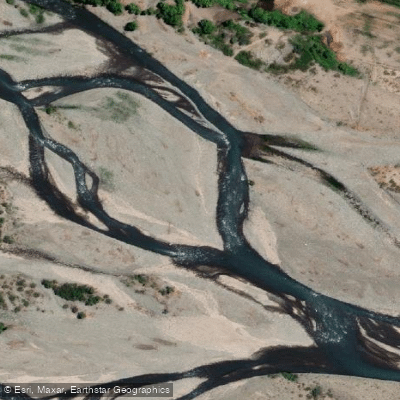
Río Teno
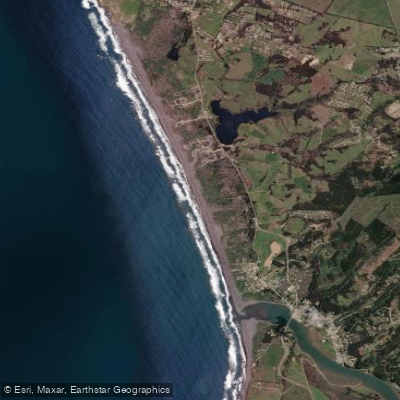
Playa La Pancora
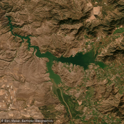
Lago Rapel
Río Claro
Playa Las Cruces
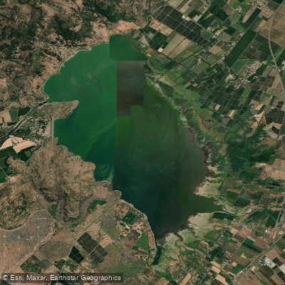
Embalse Convento Viejo
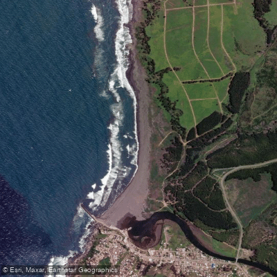
Playa Grande de Bucalemu
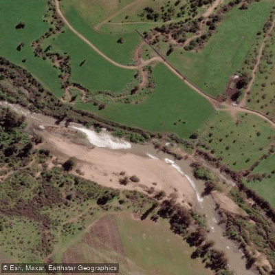
Estero De Nilahue
Explore O'higgins waters
Top paddling waters
No waters available right now.
Popular Cities
Loading popular cities...
Explore near Estero Las Cadenas

Smarter Paddling Starts in the App.
Paddleways gives you everything you need to plan smarter, paddle better, and own every trip from first launch to takeout.