Río Teno
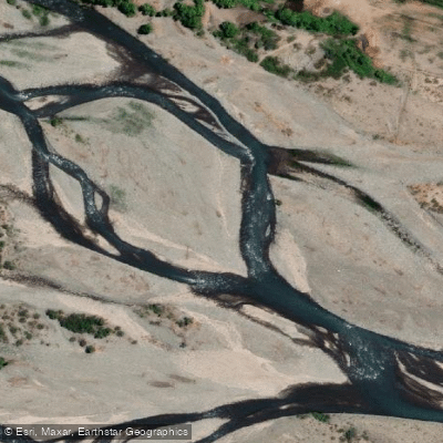
Río Teno
- Boat Ramps
- 0
- Access Points
- 0
- Campsites
- 2
The Río Teno is a 102-kilometer river in the Maule Region of central Chile, draining a basin of approximately 1,590 square kilometers. It originates at the confluence of the Malo and Nacimiento rivers, with headwaters north of Planchón volcano at the Lagunas de Teno. The river flows northwest through the Andes before turning southwestward near Curicó, eventually joining the Lontué River to form the Mataquito River near the locality of Sagrada Familia. At Los Queñes, the Teno is joined by the Río Claro, which drains glaciers of the Planchón-Peteroa volcanic complex.
The primary paddling section runs approximately 25 kilometers from a put-in at around 1,150 meters elevation, accessed by driving east from the Pan-American Highway near Curicó through Romeral to Los Queñes — a total of about 46 kilometers — then continuing 25 kilometers upstream past the Carabinero checkpoint. The take-out is at Los Queñes at approximately 675 meters elevation. The road parallels virtually the entire run, making scouting straightforward. The character of the river shifts along its length: a short, sheer-walled canyon about 22 kilometers above Los Queñes contrasts with the broader glacially-carved valley above and below it. The upper section includes a narrow gorge with class 4–5 whitewater, while the main 25-kilometer stretch is predominantly class 3–4 with some class 5-plus sections and mandatory portages. About 2.5 kilometers into the run, paddlers must portage around a hazardous combination of sieves, logs, and a road culvert. Below that, gradient eases before a gauging station, after which a 500-meter set of cataracts requires scouting. The river then returns to class 3–4 rock-garden rapids down to Los Queñes. At high water, the river loses definition and eddies, becoming a fast roller coaster with surfing waves. Below the confluence with the Río Claro, the river doubles in volume, offering additional surfing opportunities.
Optimal flows occur in spring and summer, with a broad range of 500 to 3,000 CFS. The river runs brown and turbid from snowmelt beginning around September. The Río Teno hosts the Los Queñes River Fest, a national kayak circuit event held in early November, which includes both kayaking and rafting competitions. Birdlife along the corridor is notable, and waterfalls are visible from the river. Accommodation and catering are available in Los Queñes, with local outfitters operating instructional and guided trips from the area.
Water access, boat ramps & amenities
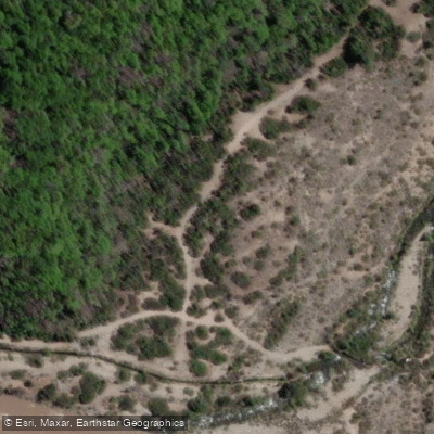
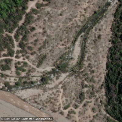
Learn how to get on Río Teno. Uncover great paddling access points, boat ramps, and all the facilities you need for an unforgettable day on the water. Some locations shown may border or include private property. Always check property boundaries and applicable regulations before visiting. PaddleWays's Public & Private Land layer can help you plan your access with confidence.
Paddle smarter with real-time insights
Whether you're en route and conditions shift or you're looking for the best spot based on current flows, we enable you to make informed decisions on the fly.







Maule licenses and regulations
No licenses or regulations available for Maule.
Find Places to Paddle

Over 400,000 Places to Paddle
Every user gets free access to launch points, boat ramps, and public property parcels.


Water and weather conditions (10 day forecast)
See the best times to paddle Río Teno and check the forecast before you go.
Rio Teno En Los Queñes
All Flow Stations
Paddling near Río Teno
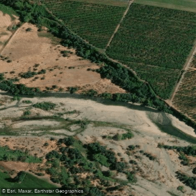
Río Claro
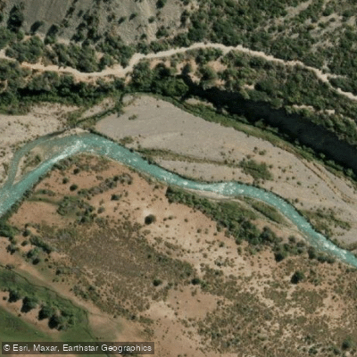
Rio Cachapoal
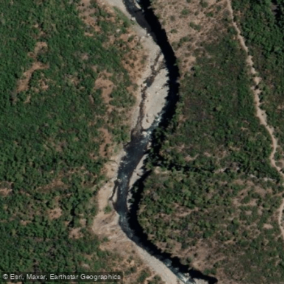
Río Claro
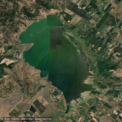
Embalse Convento Viejo
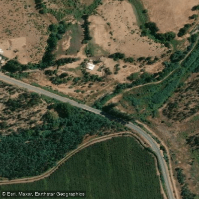
Estero Los Robles
Estero Nilahue
Río Maule
Río Claro
Río Claro
Explore Maule waters
Top paddling waters
No waters available right now.
Popular Cities
Loading popular cities...
Explore near Río Teno

Smarter Paddling Starts in the App.
Paddleways gives you everything you need to plan smarter, paddle better, and own every trip from first launch to takeout.