Río Claro
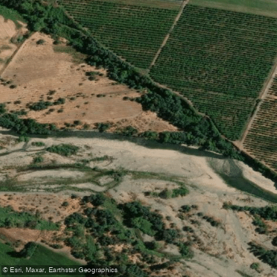
Río Claro
- Boat Ramps
- 0
- Access Points
- 0
- Campsites
- 13
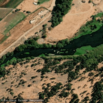
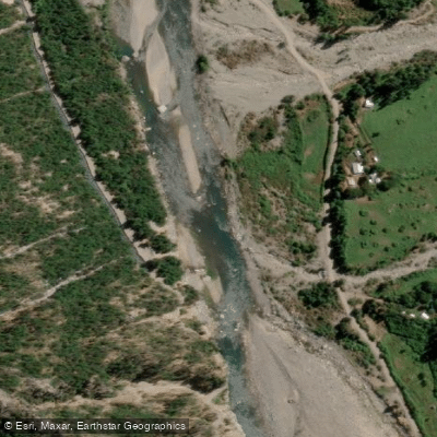
The Río Claro is located outside of Molina in the Maule Region of central Chile, rising in the Andes within Radal Siete Tazas National Park and flowing northwest toward Molina before turning southwest to empty into the Maule River near Talca. From Santiago, the drive to the river takes approximately two to four hours south. Paddlers should stock up on supplies in Molina, as the road toward the park offers little in the way of shops or services beyond that point.
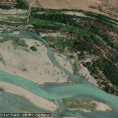
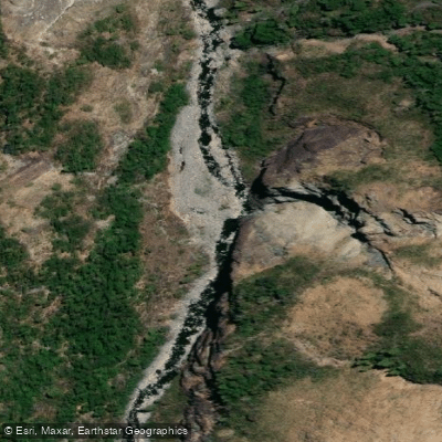
The river is characterized by deep basalt canyons carved by glacial and volcanic activity over tens of millions of years, with crystal-clear water and an abundance of clean waterfalls throughout its various sections. The canyon walls are extremely narrow in places, making small group sizes essential — large groups would face serious difficulties given the limited eddy space and the near-impossibility of escape in certain gorges.
There are multiple distinct paddling sections. The Siete Tazas (Seven Teacups) is the most accessible, consisting of seven waterfalls with clean approaches and landings, well-suited for practicing waterfall and boofing technique. It is accessed at the park entrance and requires some rope work to enter and exit the canyon. The Entre Saltos section contains the Garganta del Diablo, a two-tiered 180-degree drop of roughly 20 feet into another 20-foot drop, and paddlers must exit the canyon at its downstream end as the river enters a siphon between sections. The Veintidos Saltos (Twenty-Two Waterfalls) section begins with a hike of approximately two kilometers upstream from Parque Inglés on river right, features a rope-assisted or team-lowered put-in, and takes out at the Parque Inglés bridge. La Leona, an approximately 80-foot (24-meter) waterfall at the end of the canyon system, was first descended in 2018 and is considered one of the most technically demanding drops on the river. In total, the river system contains over 70 waterfalls across its various canyons.
Access to the river requires purchasing a daily park pass online in advance and presenting it to park staff upon arrival. The park is open Tuesday through Sunday and closed on Mondays. Park staff may inspect or lightly clean kayaking gear. The canyon access hikes typically take around one hour each way and involve carrying boats over arid terrain, so physical fitness is an important consideration. Spring is cited as a particularly recommended time to visit.
Water access, boat ramps & amenities
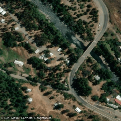
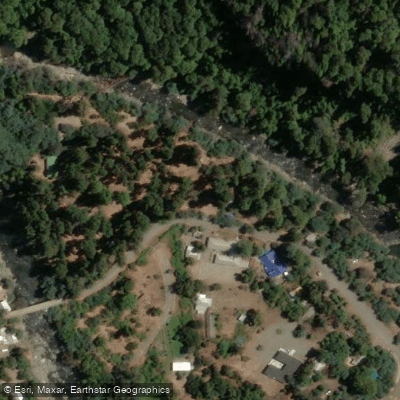
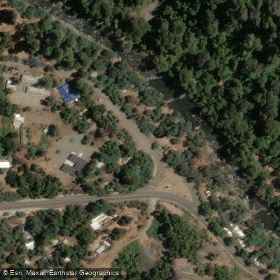
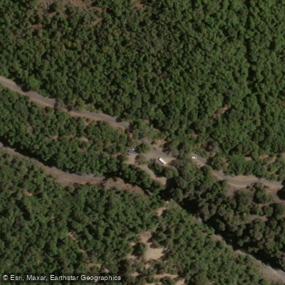
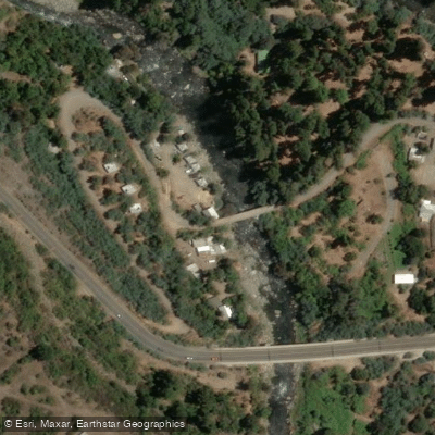
Learn how to get on Río Claro. Uncover great paddling access points, boat ramps, and all the facilities you need for an unforgettable day on the water. Some locations shown may border or include private property. Always check property boundaries and applicable regulations before visiting. PaddleWays's Public & Private Land layer can help you plan your access with confidence.
Paddle smarter with real-time insights
Whether you're en route and conditions shift or you're looking for the best spot based on current flows, we enable you to make informed decisions on the fly.







Maule licenses and regulations
No licenses or regulations available for Maule.
Find Places to Paddle

Over 400,000 Places to Paddle
Every user gets free access to launch points, boat ramps, and public property parcels.


Water and weather conditions (10 day forecast)
See the best times to paddle Río Claro and check the forecast before you go.
Rio Claro En Camarico
Paddling near Río Claro
Explore Maule waters
Top paddling waters
No waters available right now.
Popular Cities
Loading popular cities...
Explore near Río Claro
Access points
Nearby waters
More in Maule

Smarter Paddling Starts in the App.
Paddleways gives you everything you need to plan smarter, paddle better, and own every trip from first launch to takeout.