Paddling in Lauca National Park
- National Park
- Lakes
- 6
- Rivers
- 13
- Access
- 0
- Boat Ramps
- 0
- Shops
- 0
Lauca National Park sits on the Chilean altiplano in the far north of the country, hard against the Bolivian border, at elevations that rarely drop below 4,000 meters.
The water here is high, cold, and still — volcanic lakes and interconnected lagoons spread across a plateau where the air is thin and the light is sharp. This is flatwater country, and the paddling is defined entirely by that altitude.
Lago Chungará is the park's central water body and one of the highest lakes in the world, sitting at 4,517 meters above sea level. It covers 22.
5 square kilometers and reaches depths of 40 meters, with the Payachata volcanoes — Parinacota at 6,342 meters and Pomerape at 6,282 meters — reflected in its surface.
The lake is accessible from the CH-11 highway, which passes directly along its shore, and there is a ranger station at Chungará.
The Laguna de Cotacotani lies nearby, a cluster of smaller interconnected water bodies that form an archipelago-like landscape at similar elevation. The Lauca River also flows through the park. Altitude is the defining condition here, not current or gradient.
At over 4,500 meters, exertion on the water carries real risk — acclimatization before launching is not optional.
Visitors are advised to avoid intense physical effort, stay hydrated, and allow time to adjust after arriving from Arica, roughly three hours down the mountain on Route CH-11.
The dry altiplano climate brings summer rains and winter snow, with daytime temperatures that can swing dramatically from midday warmth to well below freezing at night.
As a national park and UNESCO Biosphere Reserve, Lauca operates under conservation rules that go beyond general access.
Check directly with the park administration in Parinacota before putting any boat on the water — what the lakes permit, and under what conditions, is their call to make.
Top waters to paddle near Lauca National Park
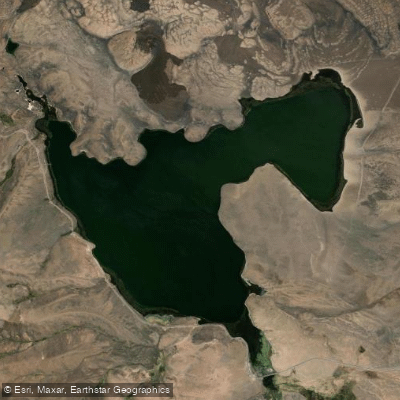
Lago Chungará
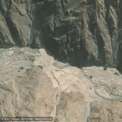
Rio Lluta
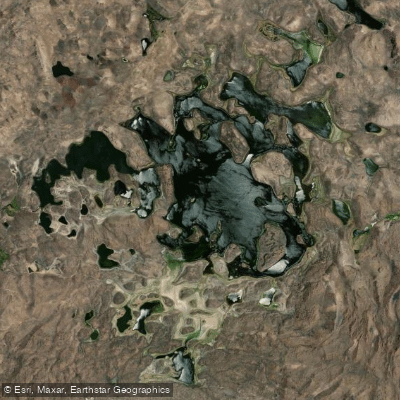
Laguna de Cotacotani
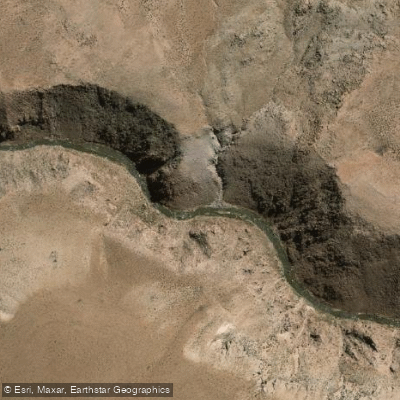
Rio Lauca
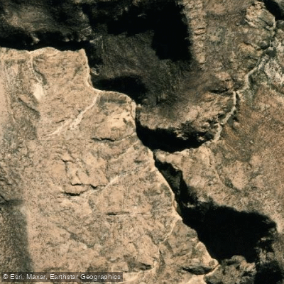
Quebrada Aroma
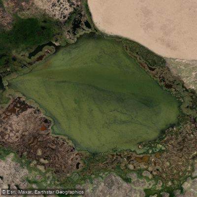
Laguna Copapujo
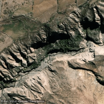
Quebrada Jurase
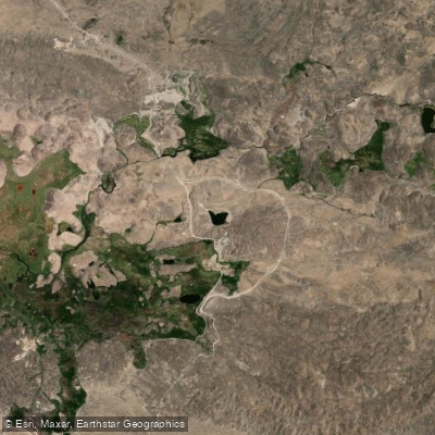
Piacota
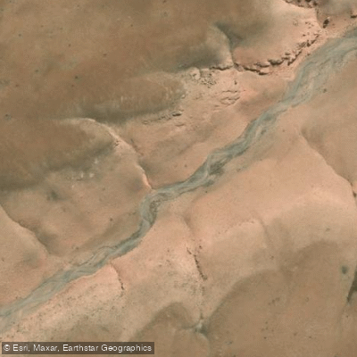
Quebrada Vilaque
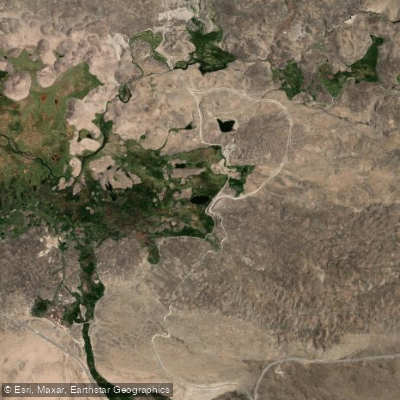
Laramcota
Water and weather conditions (10 day forecast)
See the best times to paddle Lauca National Park and check the forecast before you go.
No forecast data available.
Paddle smarter with real-time insights
Whether you're en route and conditions shift or you're looking for the best spot based on current flows, we enable you to make informed decisions on the fly.







Paddling near Lauca National Park
Loading...
Gateway towns
Where to base yourself for paddling in Lauca National Park.
- PutreArica y Parinacota
The main overnight base for the park, with hotels, guides, and tour departures; lets you acclimatize before entering.
- AricaArica y Parinacota
Coastal city with the nearest airport, car rentals, and operators running full-day and multi-day tours into the park.
- ParinacotaArica y Parinacota
Tiny village sitting inside the park near Lago Chungará, reachable by tourist bus or private vehicle via CH-11.
Explore Lauca National Park
Top paddling waters
Popular Cities
Loading popular cities...

Smarter Paddling Starts in the App.
Paddleways gives you everything you need to plan smarter, paddle better, and own every trip from first launch to takeout.