Paddling in Parque Nacional Alerce Andino
- National Park
- Lakes
- 12
- Rivers
- 10
- Access
- 0
- Boat Ramps
- 0
- Shops
- 0
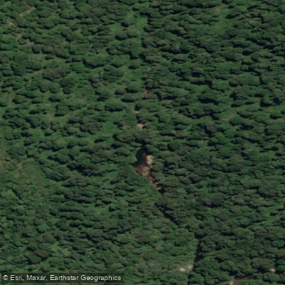
Parque Nacional Alerce Andino occupies a large peninsula east of Puerto Montt, in Chile's Los Lagos Region, where dense temperate rainforest climbs mountain slopes and drains into a network of lakes, lagoons, and rivers.
The park's 39,255 hectares sit at the northern end of Chile's Route of the Parks, and the water here — cold, clear, and rain-fed — reflects that latitude and that forest.
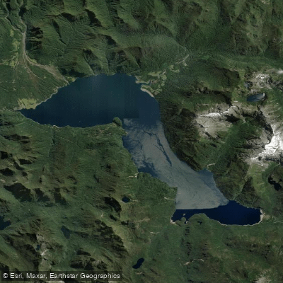
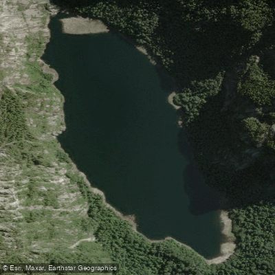
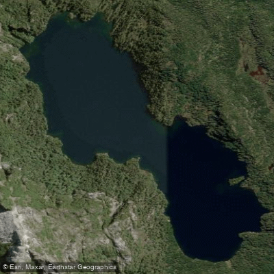
The anchor of the park's paddling is Lago Chapo, a substantial glacial lake reached via Route V-65 from Puerto Montt, roughly 46 kilometers out.
At the park ranger station on Lago Chapo, canoes are available to rent for a crossing — one of the few places in the park where paddling infrastructure exists on-site.
The lake is large enough to demand respect for wind and weather, and conditions can shift quickly in a climate defined by high rainfall and mountain exposure.
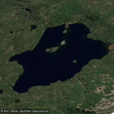
Laguna Gaviotas sits deeper in the park and is accessible by helicopter — a 20-minute flight from outside the park boundary — making it a very different proposition from Lago Chapo.
The lagoon is used for kayaking, with islands to navigate and nesting seabirds present in summer. The remoteness is real: there is no road access, and the paddling happens within a landscape that sees very little human traffic.
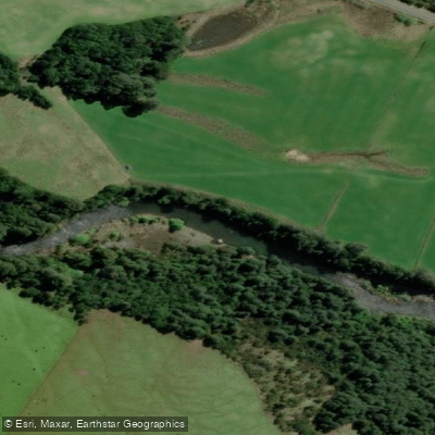
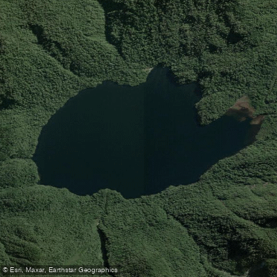
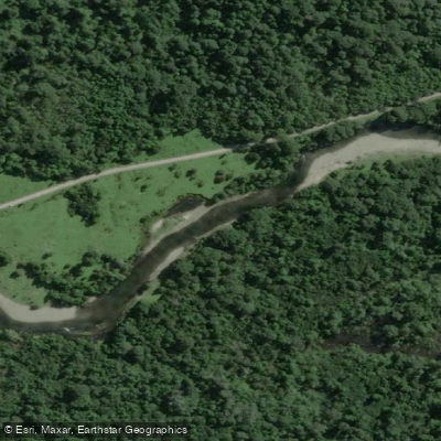
Lago Sargazo and Laguna Triángulo are among the smaller lakes and lagoons scattered through the park's interior, part of the same high-rainfall system that feeds the alerce forest. The Río Chamiza drains through the park's valley terrain.
Because this is a CONAF-administered national park, visitors should check current entry requirements and any on-water rules directly with the park before launching.
The Correntoso–Lago Chapo sector and the Lenca sector (via the Carretera Austral) are the two main access corridors, and the condition of interior roads — many unpaved — shapes what's reachable without a helicopter or a long hike.
The park's ecological designation as part of the Temperate Rainforest Biosphere Reserve of the Southern Andes means the water here is embedded in one of the most intact forest systems in South America. Paddle accordingly.
Top waters to paddle near Parque Nacional Alerce Andino
Water and weather conditions (10 day forecast)
See the best times to paddle Parque Nacional Alerce Andino and check the forecast before you go.
No forecast data available.
Paddle smarter with real-time insights
Whether you're en route and conditions shift or you're looking for the best spot based on current flows, we enable you to make informed decisions on the fly.







Paddling near Parque Nacional Alerce Andino
Loading...
Gateway towns
Where to base yourself for paddling in Parque Nacional Alerce Andino.
- Puerto MonttLos Lagos
Main gateway with two park access routes, CONAF office for permits, and the widest range of lodging and transport options.
- Puerto VarasLos Lagos
Nearby base with guided day tours departing directly to the park's Chaicas and Sargazo sectors.
Explore Parque Nacional Alerce Andino
Top paddling waters
Popular Cities
Loading popular cities...

Smarter Paddling Starts in the App.
Paddleways gives you everything you need to plan smarter, paddle better, and own every trip from first launch to takeout.