Río Chamiza
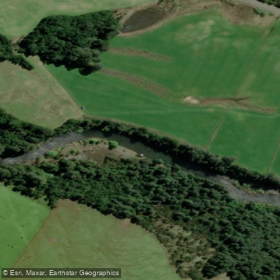
Río Chamiza
- Boat Ramps
- 0
- Access Points
- 0
- Campsites
- 2
The Río Chamiza originates at Lago Chapo, a deep glacial lake situated at the foot of Volcán Calbuco, and flows approximately 35 kilometers before emptying into the Seno de Reloncaví. The river is also known locally as Río Coihuín. Its source, Lago Chapo, is one of the deepest lakes in Chile at over 460 meters, and the river serves as the primary drinking water supply for the city of Puerto Montt.
In its lower reaches, the Río Chamiza transitions into an estuarine system that forms the Humedal Marino de Coihuín-Chamiza, a wetland of approximately 1,765 hectares influenced by tidal action. At low tide, intertidal flats can extend up to one kilometer across. This internationally significant wetland supports populations of migratory and resident shorebirds, including the Hudsonian godwit, whimbrel, and American oystercatcher.
The lower river and estuary are accessible from near Puerto Montt, making it a relatively convenient destination. Guided kayak descents are available through local operators, with at least one outfitter — reachable via the handle @leufuchamiza — offering organized trips on the river. The paddling character in the lower section is calm and accessible, suited to a range of experience levels. The tidal influence on the estuary means that water levels and current direction in the lower reaches will vary with the tides, a factor worth accounting for when planning timing.
The river corridor and surrounding wetland offer wildlife observation opportunities, particularly for shorebirds. The broader area around Lago Chapo also supports native forest and fauna including the pudú. Fishing for rainbow trout and Chinook salmon is noted as an activity on the river, which may be relevant to paddlers in terms of sharing the water with anglers.
Water access, boat ramps & amenities
Learn how to get on Río Chamiza. Uncover great paddling access points, boat ramps, and all the facilities you need for an unforgettable day on the water. Some locations shown may border or include private property. Always check property boundaries and applicable regulations before visiting. PaddleWays's Public & Private Land layer can help you plan your access with confidence.
Paddle smarter with real-time insights
Whether you're en route and conditions shift or you're looking for the best spot based on current flows, we enable you to make informed decisions on the fly.







Los Lagos licenses and regulations
No licenses or regulations available for Los Lagos.
Find Places to Paddle

Over 400,000 Places to Paddle
Every user gets free access to launch points, boat ramps, and public property parcels.


Water and weather conditions (10 day forecast)
See the best times to paddle Río Chamiza and check the forecast before you go.
Rio Chamiza Ante Junta Rio Chico
Paddling near Río Chamiza
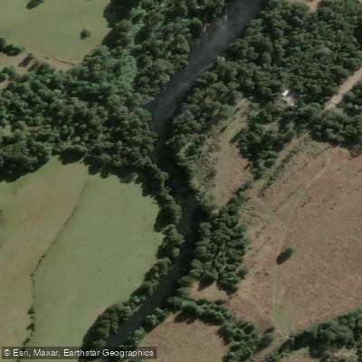
Río Maullín
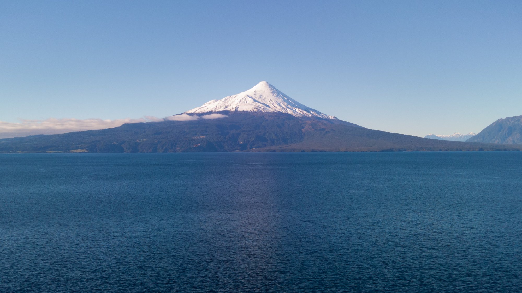
Lago Llanquihue
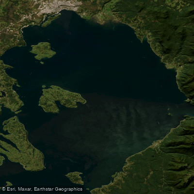
Seno de Reloncaví
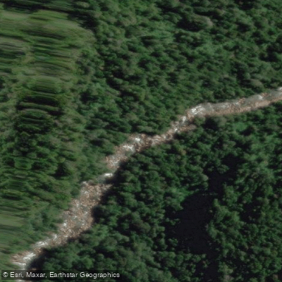
Río Cochamó
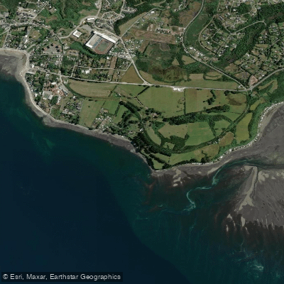
Playa Pelluhuin
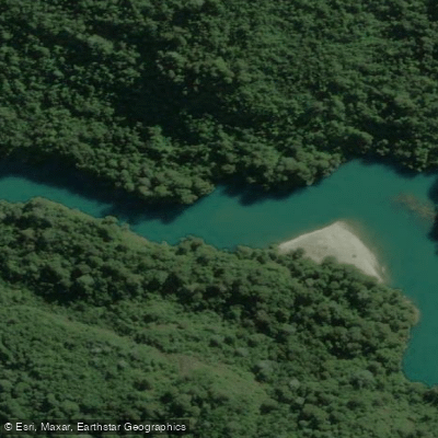
Río Puelo
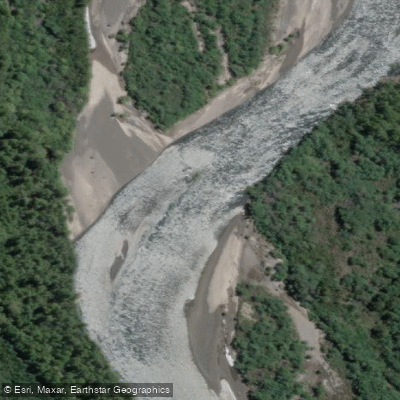
Río Petrohué
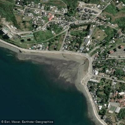
Playa Pelluco
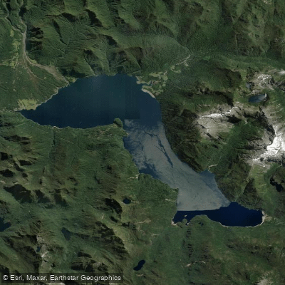
Lago Chapo
Explore Los Lagos waters
Top paddling waters
No waters available right now.
Popular Cities
Loading popular cities...
Explore near Río Chamiza

Smarter Paddling Starts in the App.
Paddleways gives you everything you need to plan smarter, paddle better, and own every trip from first launch to takeout.