Lago Chapo
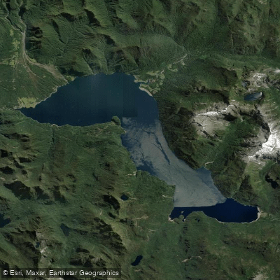
Lago Chapo
- Boat Ramps
- 0
- Access Points
- 1
- Campsites
- 0
Lago Chapo is a deep glacial lake situated at 241 meters above sea level in the commune of Puerto Montt, Llanquihue Province, Los Lagos Region. It measures approximately 17 km in length and 5 km in width, with a surface area of 45.3 km², a maximum depth of 298 m, and a mean depth of 183 m. The lake lies immediately southeast of Calbuco volcano, with Llanquihue National Reserve to the north and Alerce Andino National Park to the south. Its waters are clear and turquoise-green, fed by eight main tributaries including the Río Blanco, and drain via the Río Chamiza, which flows approximately 35 km to the Seno de Reloncaví.
Access to the lake is primarily from Puerto Montt, located 43 km to the southwest, via Route 7 (Carretera Austral) and then the V-65 road. The drive takes roughly 40–60 minutes. The locality of Correntoso lies about 8 km to the west and serves as a practical staging point.
Kayaking is an established activity on the lake, with guided half-day tours available, primarily on weekends, departing from the lake's vicinity. Paddlers can explore calm bays with views of Calbuco volcano and the surrounding Valdivian temperate rainforest. The lake's oligotrophic character means the water is exceptionally clear. Surface water temperatures range from approximately 9°C in winter to 18°C in summer, which paddlers should factor into safety planning given the lake's considerable depth and cold water conditions.
The lake is used for hydroelectric generation via the Canutillar power station, completed in 1990, which draws on its waters. Paddlers should be aware of this infrastructure and any associated flow management. The Río Chamiza outflow also supports a kayak descent route of roughly 35 km to the Reloncaví estuary, passing through a tidal wetland system of international importance for migratory shorebirds.
Wildlife in the surrounding forests includes pudú and native waterbirds. The lake has cultural significance as former Huilliche territory; a dalca canoe dated between 1440 and 1510 was uncovered during a period of historically low water levels in 1999. No specific paddling restrictions have been documented for the lake.
Water access, boat ramps & amenities
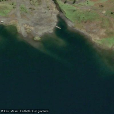
Learn how to get on Lago Chapo. Uncover great paddling access points, boat ramps, and all the facilities you need for an unforgettable day on the water. Some locations shown may border or include private property. Always check property boundaries and applicable regulations before visiting. PaddleWays's Public & Private Land layer can help you plan your access with confidence.
Paddle smarter with real-time insights
Whether you're en route and conditions shift or you're looking for the best spot based on current flows, we enable you to make informed decisions on the fly.







Los Lagos licenses and regulations
No licenses or regulations available for Los Lagos.
Find Places to Paddle

Over 400,000 Places to Paddle
Every user gets free access to launch points, boat ramps, and public property parcels.


Water and weather conditions (10 day forecast)
See the best times to paddle Lago Chapo and check the forecast before you go.
No forecast data available.
Paddling near Lago Chapo
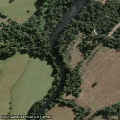
Río Maullín
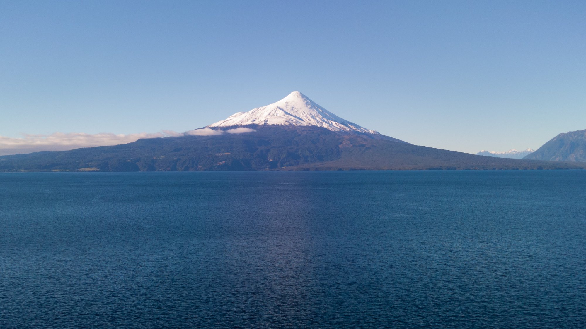
Lago Llanquihue
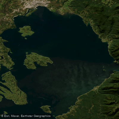
Seno de Reloncaví
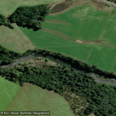
Río Chamiza
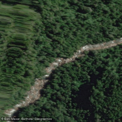
Río Cochamó
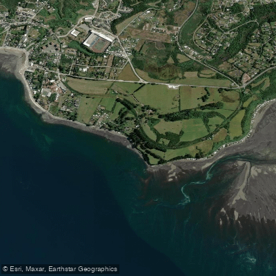
Playa Pelluhuin
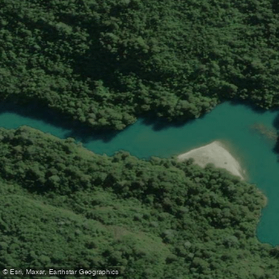
Río Puelo
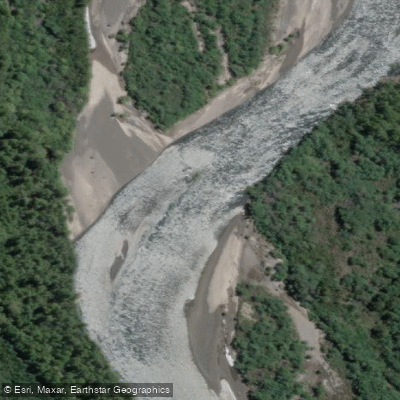
Río Petrohué
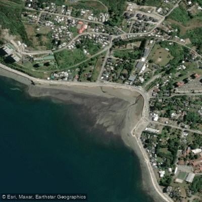
Playa Pelluco
Explore Los Lagos waters
Top paddling waters
No waters available right now.
Popular Cities
Loading popular cities...
Explore near Lago Chapo
Access points
Nearby waters
More in Los Lagos

Smarter Paddling Starts in the App.
Paddleways gives you everything you need to plan smarter, paddle better, and own every trip from first launch to takeout.