Paddling in Puyehue National Park
- National Park
- Lakes
- 14
- Rivers
- 8
- Access
- 0
- Boat Ramps
- 0
- Shops
- 0
Puyehue National Park sits in the Andes of the Los Lagos region, roughly 189 km northeast of Puerto Varas, where the border crossing to Argentina at Paso Cardenal Samoré cuts through the park's eastern edge.
The landscape is volcanic, densely forested, and soaking wet — a cold, rainy climate with an annual mean around 8°C and precipitation that doesn't wait for a particular season.
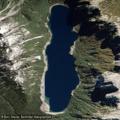
The water here is shaped by that: rivers fed by constant rainfall and snowmelt, lakes backed up against Andean ridgelines, and thermal water surfacing alongside cold rivers in the same valley. The paddling anchors on two very different kinds of water.
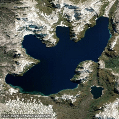
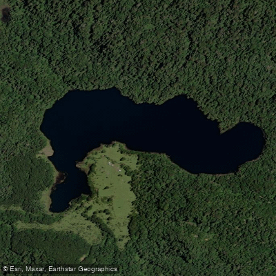
Lago Puyehue, just outside the park boundary but the gateway to it, is the flatwater center of gravity — calm enough for hour-long kayak tours that push into the mouths of the Chanleufu and Pichi-Chanleufu rivers, where lake and river water mix at the edges of the forest.
That kind of touring is accessible and unhurried, the right pace for reading the landscape. The Río Golgol is the other end of the spectrum.
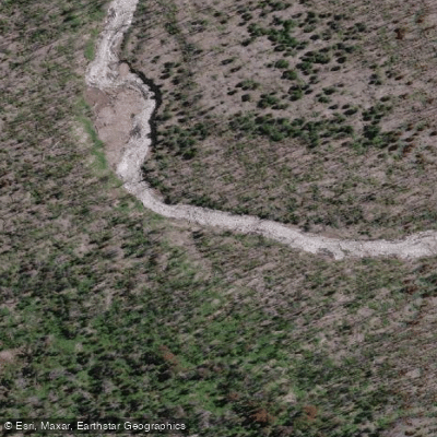
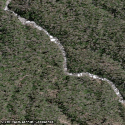
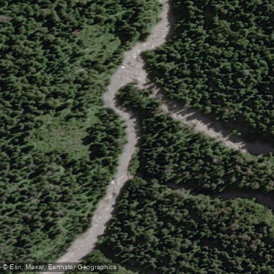
Running through the park toward the Argentine border, it carries Class IV–V whitewater — a sequence of drops, falls, and technical moves that has drawn serious creek boaters for decades.
The upper Golgol puts in below a roadside waterfall and moves through a series of falls, at least one of which splits into two channels with the right line unrunnable.
This is committing water; scout everything and know your exit options before you're in the canyon.
The park's wet, temperate climate means water levels stay relatively high year-round, but summer (December through March) is the practical window for most visits — longer days, slightly warmer temperatures, and more stable access roads through the park's two main sectors, Aguas Calientes and Anticura.
Paddling inside a Chilean national park means operating under CONAF's jurisdiction.
Check current entry requirements and any watercraft rules directly with the park before launching — regulations can differ by sector and water body, and what applied last season may not apply now.
The Golgol doesn't forgive casual preparation, and the flatwater on Lago Puyehue doesn't need it. That range is the honest shape of paddling here.
Water and weather conditions (10 day forecast)
See the best times to paddle Puyehue National Park and check the forecast before you go.
No forecast data available.
Paddle smarter with real-time insights
Whether you're en route and conditions shift or you're looking for the best spot based on current flows, we enable you to make informed decisions on the fly.







Paddling near Puyehue National Park
Loading...
Gateway towns
Where to base yourself for paddling in Puyehue National Park.
- Entre LagosLos Lagos
The main service town on Route 215 before the park, with lodging, supplies, and bus connections to both park sectors.
- OsornoLos Lagos
The nearest city and main transport hub, where visitors fly in, rent cars, and catch buses toward the park along Route 215.
- AnticuraLos Lagos
A small settlement at the Anticura sector entrance, with cabins and the registration point for volcano and waterfall trails.
Explore Puyehue National Park
Top paddling waters
Popular Cities
Loading popular cities...

Smarter Paddling Starts in the App.
Paddleways gives you everything you need to plan smarter, paddle better, and own every trip from first launch to takeout.