Río Bonito
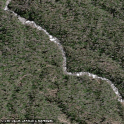
Río Bonito
- Boat Ramps
- 0
- Access Points
- 0
- Campsites
- 0
The Río Bonito is a short but intense creek run in Chile's Los Lagos Region, widely regarded as a new classic in Chilean creek boating. The river originates at the base of Cerro Puntiagudo, a peak rising to 2,190 meters, and runs through a canyon approximately 2 kilometers in length. Despite its compact size, the run is known for packing a significant amount of whitewater challenge into that short distance.
The river's character is defined by its canyon setting, which concentrates the flow and creates demanding conditions over a relatively brief stretch. The proximity to Cerro Puntiagudo places the run in a volcanically influenced landscape typical of the Los Lagos Region, in the vicinity of other notable rivers such as the Río Coihueco, which also drains the snowfields of Cerro Puntiagudo.
Specific put-in or take-out access points, seasonal flow patterns, water temperature data, and any restrictions on paddling are not well documented. Paddlers planning a trip should seek additional local knowledge and consult updated sources regarding logistics, optimal water levels, and any access considerations before committing to the run. Given the canyon nature of the river and its reputation for concentrated whitewater, this run is best suited to experienced creek boaters comfortable with committing to a gorge environment.
Water access, boat ramps & amenities
Learn how to get on Río Bonito. Uncover great paddling access points, boat ramps, and all the facilities you need for an unforgettable day on the water. Some locations shown may border or include private property. Always check property boundaries and applicable regulations before visiting. PaddleWays's Public & Private Land layer can help you plan your access with confidence.
Paddle smarter with real-time insights
Whether you're en route and conditions shift or you're looking for the best spot based on current flows, we enable you to make informed decisions on the fly.







Los Lagos licenses and regulations
No licenses or regulations available for Los Lagos.
Find Places to Paddle

Over 400,000 Places to Paddle
Every user gets free access to launch points, boat ramps, and public property parcels.


Water and weather conditions (10 day forecast)
See the best times to paddle Río Bonito and check the forecast before you go.
No forecast data available.
Paddling near Río Bonito
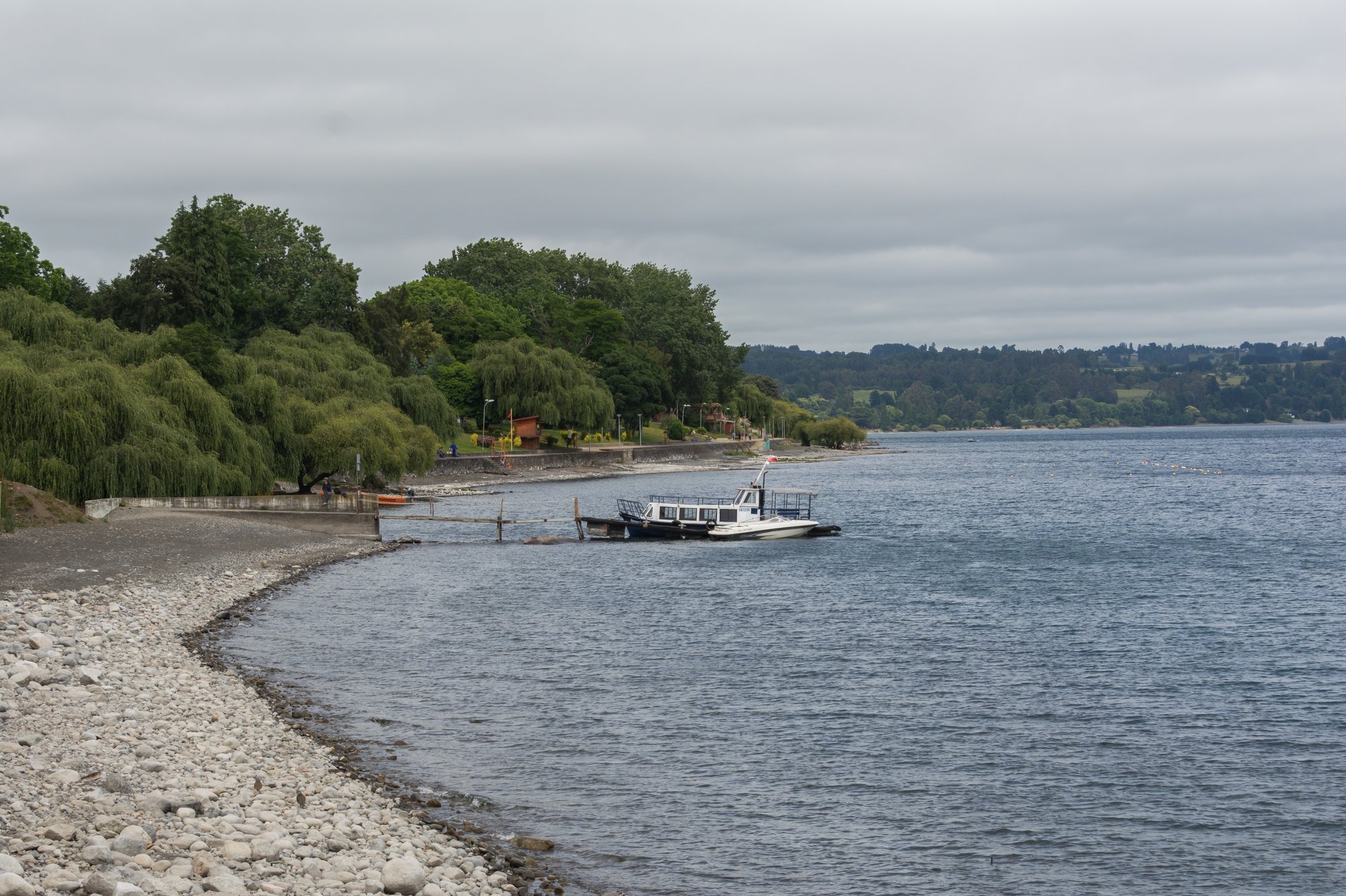
Lago Ranco
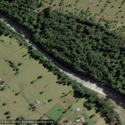
Río Nilahue
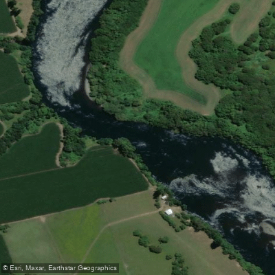
Río Bueno
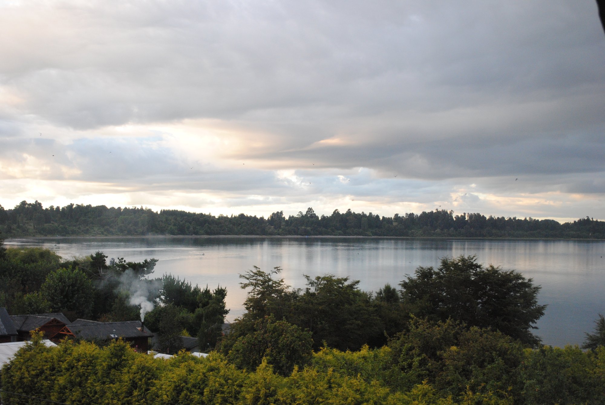
Lago Puyehue
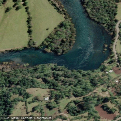
Río Calcurrupe
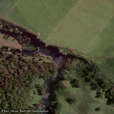
Río Pilmaiquén

Río Calle Calle
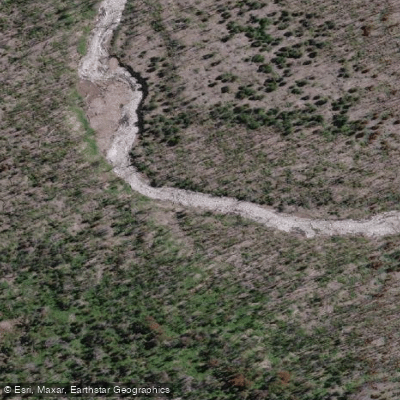
Río Golgol
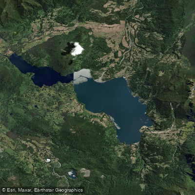
Lago Maihue
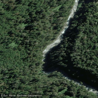
Río Fuy
Explore Los Lagos waters
Top paddling waters
No waters available right now.
Popular Cities
Loading popular cities...
Explore near Río Bonito

Smarter Paddling Starts in the App.
Paddleways gives you everything you need to plan smarter, paddle better, and own every trip from first launch to takeout.