Lago Constancia
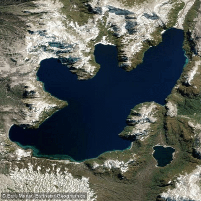
Lago Constancia
- Boat Ramps
- 0
- Access Points
- 0
- Campsites
- 0
Lago Constancia sits at 1,290 meters elevation within Puyehue National Park in Chile's Los Lagos Region, covering a surface area of 17 square kilometers. The lake lies in a remote section of the Andes, with mountains to the east marking the territorial boundary between Chile and Argentina, and the divide between Los Ríos Region and Los Lagos Region running along its northern flank. Its waters drain through the Bonito River, a short stream that flows into the Golgol River.
The lake has been navigated by packrafters undertaking multi-day wilderness crossings through the Caulle mountain range, connecting it with Laguna Gemelas and Lago Gris to the north, with the Cardenal Samoré border crossing serving as a southern terminus. The surrounding terrain is characterized by dense, difficult forest that makes overland travel extremely demanding, and the lake itself has been described as having both striking and formidable qualities. A beach exists on the northwest sector and another on the north shore, which have been used as campsites during expeditions.
Given its location deep within Puyehue National Park at high elevation, access requires a significant wilderness traverse rather than a straightforward road approach. The remote and self-sufficient nature of documented trips to this lake indicates that paddlers should expect no facilities or infrastructure. The elevation and Andean setting suggest conditions can change rapidly, and the expeditions that have reached the lake have done so as part of multi-day, ultralight, self-sufficient journeys through complex terrain.
Water access, boat ramps & amenities
Learn how to get on Lago Constancia. Uncover great paddling access points, boat ramps, and all the facilities you need for an unforgettable day on the water. Some locations shown may border or include private property. Always check property boundaries and applicable regulations before visiting. PaddleWays's Public & Private Land layer can help you plan your access with confidence.
Paddle smarter with real-time insights
Whether you're en route and conditions shift or you're looking for the best spot based on current flows, we enable you to make informed decisions on the fly.







Los Lagos licenses and regulations
No licenses or regulations available for Los Lagos.
Find Places to Paddle

Over 400,000 Places to Paddle
Every user gets free access to launch points, boat ramps, and public property parcels.


Water and weather conditions (10 day forecast)
See the best times to paddle Lago Constancia and check the forecast before you go.
No forecast data available.
Paddling near Lago Constancia
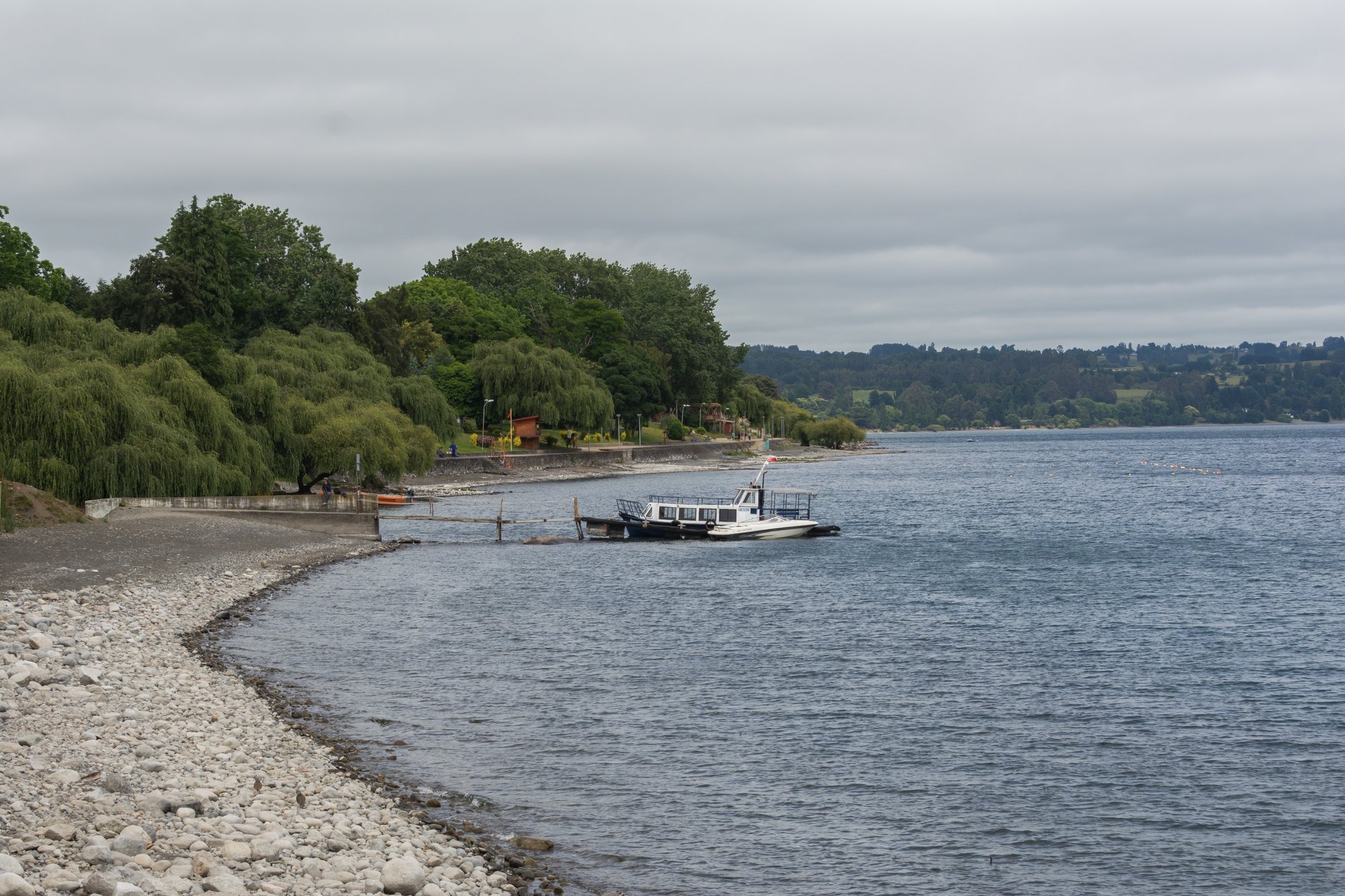
Lago Ranco
Río Nilahue
Río Bueno
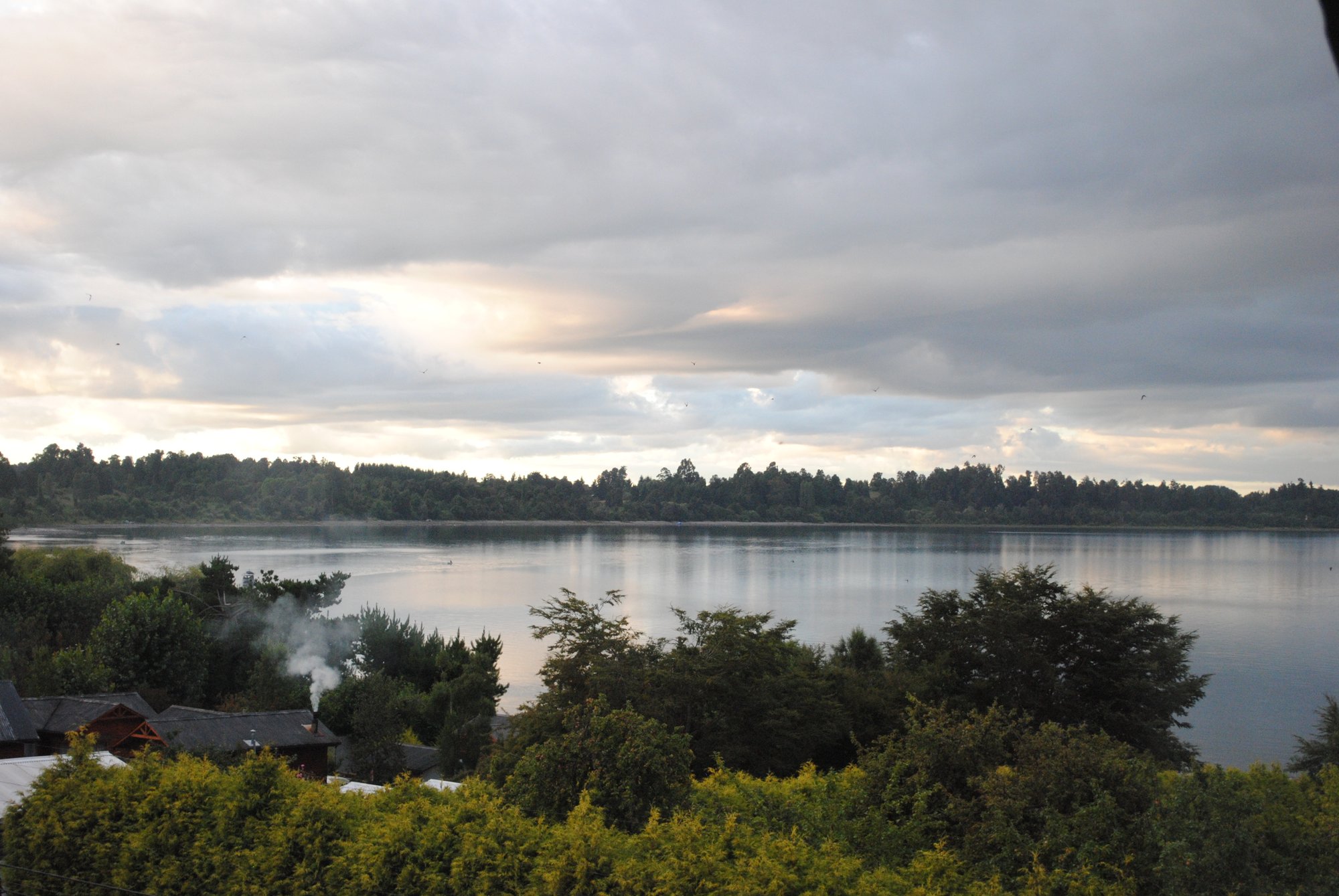
Lago Puyehue
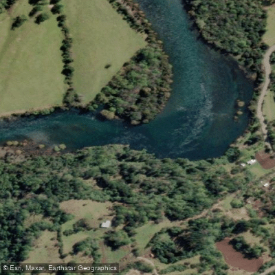
Río Calcurrupe
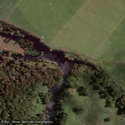
Río Pilmaiquén

Río Calle Calle
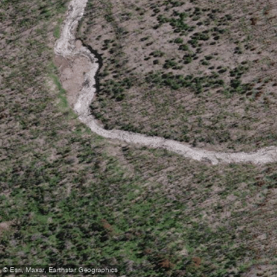
Río Golgol
Lago Maihue
Río Fuy
Explore Los Lagos waters
Top paddling waters
No waters available right now.
Popular Cities
Loading popular cities...
Explore near Lago Constancia

Smarter Paddling Starts in the App.
Paddleways gives you everything you need to plan smarter, paddle better, and own every trip from first launch to takeout.