River Clyde
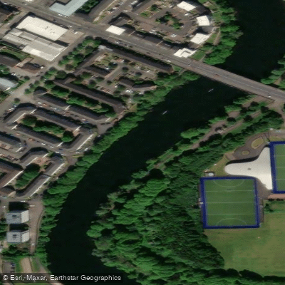
River Clyde
- Boat Ramps
- 1
- Access Points
- 2
- Campsites
- 2
The River Clyde is one of Scotland's major waterways, stretching approximately 170 km (106 miles) and ranking as the ninth-longest river in the UK and third-longest in Scotland. It rises in the Southern Uplands and flows through the heart of Glasgow before emptying into the Firth of Clyde on the Atlantic coast. No licence is required to paddle on the River Clyde.
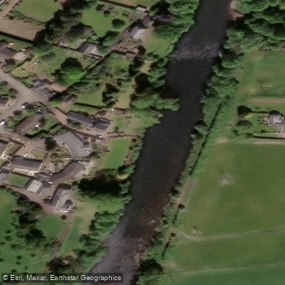
The upper reaches of the river, near Biggar in South Lanarkshire, offer a notably different experience from the urban sections. A popular stretch runs from Wandle, just outside Biggar, downstream to Wolfclyde Bridge — a route characterised by a gentle current, rolling hills, open farmland, and woodland. Wildlife commonly spotted along this section includes herons, birds of prey, and occasionally otters. This stretch is considered accessible to paddlers of all abilities aged 10 and above and is well-suited to those looking for a relaxed, countryside paddle.
Through Glasgow, the river takes on an urban character, with views of the city's waterfront regeneration — converted warehouse apartments, modern public spaces, and cultural districts. Ducks, swans, and other bird species are regularly seen along the riverbanks in this section. Several pontoons provide access points in Glasgow: Yorkhill Pontoon on the north bank at the Riverside Museum (50m in length, with a dedicated 9m canoe-access section at 300mm freeboard), Plantation Quay Pontoon on the south bank at the Media Quarter adjacent to the Glasgow Science Centre (40m in length), and Govan Pontoon on the south bank near Govan town centre (30m in length). There is currently no charge to use these pontoons, though 24 hours' notice and an online booking through Glasgow City Council are required. Access is also possible from the rowing club at Glasgow Green, though paddlers are advised to contact the club or council in advance.
The Forth & Clyde Canal connects to the River Clyde at Bowling and offers an additional paddling network, though that route involves locks and swing bridges that may require portaging or coordination with lock keepers.
Water access, boat ramps & amenities
Learn how to get on River Clyde. Uncover great paddling access points, boat ramps, and all the facilities you need for an unforgettable day on the water. Some locations shown may border or include private property. Always check property boundaries and applicable regulations before visiting. PaddleWays's Public & Private Land layer can help you plan your access with confidence.
Paddle smarter with real-time insights
Whether you're en route and conditions shift or you're looking for the best spot based on current flows, we enable you to make informed decisions on the fly.







Scotland licenses and regulations

Find Places to Paddle

Over 400,000 Places to Paddle
Every user gets free access to launch points, boat ramps, and public property parcels.


Water and weather conditions (10 day forecast)
See the best times to paddle River Clyde and check the forecast before you go.
Blairston
All Flow Stations
Paddling near River Clyde
River Kelvin
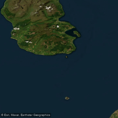
Firth of Clyde
River Avon
River Ayr
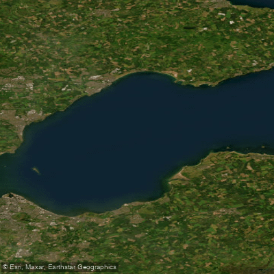
Firth of Forth
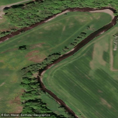
Endrick Water
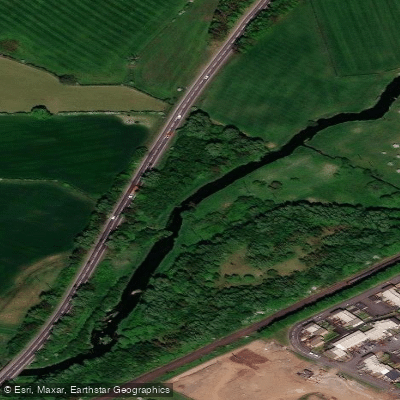
Black Cart Water
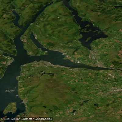
Clyde Estuary - Outer
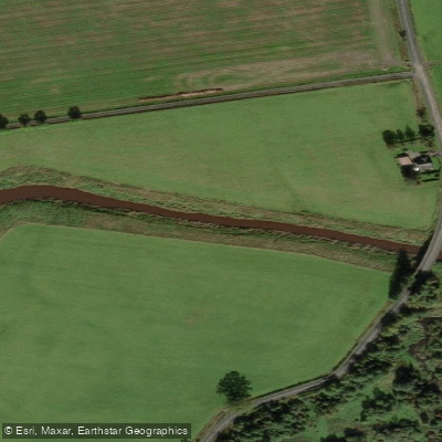
River Forth
Explore Scotland waters
Top paddling waters
No waters available right now.
Popular Cities
Loading popular cities...
Explore near River Clyde

Smarter Paddling Starts in the App.
Paddleways gives you everything you need to plan smarter, paddle better, and own every trip from first launch to takeout.