River Forth
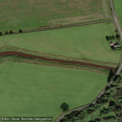
River Forth
- Boat Ramps
- 0
- Access Points
- 1
- Campsites
- 1
The River Forth in central Scotland flows eastward from the Trossachs before widening into a broad tidal estuary for the majority of its length. For much of its course, the river carries ample depth as a wide tidal waterway. The head of navigation coincides with the tidal limit, located approximately 300 metres downstream of where the M9 motorway crosses the river, near Stirling.
In and around Stirling, the river sees regular use by canoeists and rowers. Stirling Council provides a free-to-use pontoon on the downstream outskirts of the city, offering straightforward water access with the town centre and a large supermarket within a ten-minute walk. The pontoon can be reserved in advance through the Council's web page, or by calling 01786 404040. Boats can navigate approximately a further mile upstream beyond the pontoon, though the river's looping course means no closer access to the city centre is gained from that additional distance.
Paddlers should be aware that the tidal nature of the river is a significant planning consideration throughout much of its length. Those intending to launch from the River Carron area should note that Potel Marine, which previously offered launching facilities there, has ceased trading, leaving no current launching infrastructure in that vicinity.
The upper River Forth, including the stretch associated with Loch Ard, is covered as a distinct paddling route in guidebook resources and is considered suitable for intermediate paddlers. The river is also grouped alongside other Central Scotland waterways — including the Endrick, Balvaig, and Teith — as appropriate for intermediate to expert kayakers and canoeists.
Water access, boat ramps & amenities
Learn how to get on River Forth. Uncover great paddling access points, boat ramps, and all the facilities you need for an unforgettable day on the water. Some locations shown may border or include private property. Always check property boundaries and applicable regulations before visiting. PaddleWays's Public & Private Land layer can help you plan your access with confidence.
Paddle smarter with real-time insights
Whether you're en route and conditions shift or you're looking for the best spot based on current flows, we enable you to make informed decisions on the fly.







Scotland licenses and regulations

Find Places to Paddle

Over 400,000 Places to Paddle
Every user gets free access to launch points, boat ramps, and public property parcels.


Water and weather conditions (10 day forecast)
See the best times to paddle River Forth and check the forecast before you go.
Gargunnock
All Flow Stations
Paddling near River Forth
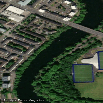
River Clyde
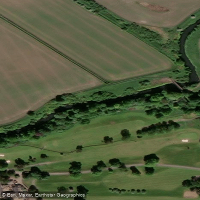
River Kelvin
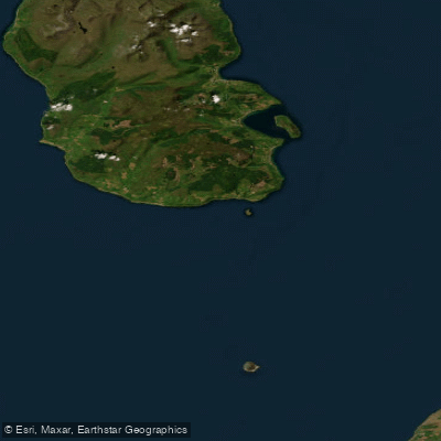
Firth of Clyde
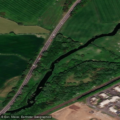
Black Cart Water
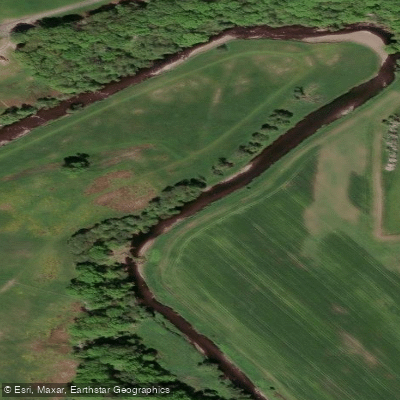
Endrick Water
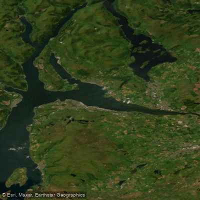
Clyde Estuary - Outer
River Avon
Loch Lomond
Firth of Forth
Explore Scotland waters
Top paddling waters
No waters available right now.
Popular Cities
Loading popular cities...
Explore near River Forth
Access points
Nearby waters
More in Scotland

Smarter Paddling Starts in the App.
Paddleways gives you everything you need to plan smarter, paddle better, and own every trip from first launch to takeout.