River Dee
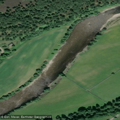
River Dee
- Boat Ramps
- 0
- Access Points
- 0
- Campsites
- 4
The River Dee (Welsh: Afon Dyfrdwy) originates on the slopes of Dduallt above Llanuwchllyn in Snowdonia at an elevation of 450 metres, flowing east through Llyn Tegid before trending northeast through the Vale of Edeyrnion and eventually passing through Chester and into the Dee Estuary at Liverpool Bay. The section from Bala to Chester spans 113 kilometres (70 miles), with most of the river lying in Wales before forming part of the England-Wales border and entering Cheshire. The river offers a wide range of paddling character, from grade 1 and 2 rapids in the upper reaches around Carrog and Llangollen to flat, calm water through Chester city centre.
The upper river around Llangollen is well known among whitewater paddlers, featuring notable landmarks such as Horseshoe Falls and the Serpent's Tail rapid. A popular upper section runs approximately 8.5 miles from Carrog to above Horseshoe Falls, with grade 1 and 2 rapids throughout. The Pontcysyllte Aqueduct is also accessible in this area. Downstream, the section from Trevor to Overton Bridge includes easy rapids and two weirs that may require portaging. From Overton Bridge downstream to the tidal limit in Chester is described as a pleasant touring section. There is no confirmed public right of navigation on the non-tidal River Dee, so paddlers should be aware of access arrangements before launching.
In the Llangollen area, paddling is managed by the Welsh Dee Partnership Ltd. Access is permitted only at designated access and egress points, with strict time windows — launching between 9:30am (commercial operators) or 10am and 12:30pm, and all paddlers must vacate the water by 3:00pm. Between 31 August and 19 October, paddling is only permitted when the water level reads at least 3 feet on the Rhewl gauge at 8am, to minimise disruption to salmon fishing. Tubes and rafts are not permitted on this stretch, and canoes and duckies are limited to two persons.
In Chester, Sandy Lane car park (CH3 5UL) provides a well-equipped launch point with built boat ramps suitable for larger craft and disability access, along with public toilet facilities available during daytime hours from April to October. The Chester Weir, located within the city, offers a whitewater play spot. Natural Resources Wales operates a temporary fish trap between Worthenbury between March and June, active between dusk and dawn, marked by warning signs and lights. A Paddle UK waterways licence is required to paddle many sections of the river.
Water access, boat ramps & amenities
Learn how to get on River Dee. Uncover great paddling access points, boat ramps, and all the facilities you need for an unforgettable day on the water. Some locations shown may border or include private property. Always check property boundaries and applicable regulations before visiting. PaddleWays's Public & Private Land layer can help you plan your access with confidence.
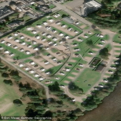
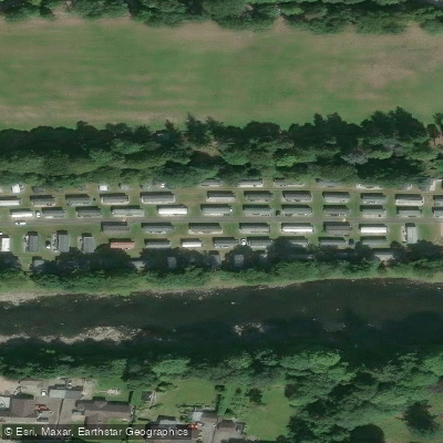
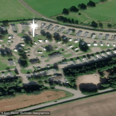
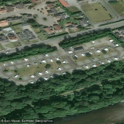
Paddle smarter with real-time insights
Whether you're en route and conditions shift or you're looking for the best spot based on current flows, we enable you to make informed decisions on the fly.







Scotland licenses and regulations

Find Places to Paddle

Over 400,000 Places to Paddle
Every user gets free access to launch points, boat ramps, and public property parcels.


Water and weather conditions (10 day forecast)
See the best times to paddle River Dee and check the forecast before you go.
Invergairn
All Flow Stations
Paddling near River Dee
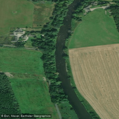
River Don
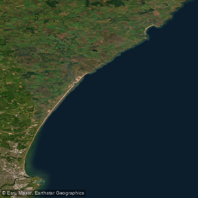
Cruden Bay to the Don Estuary
River Ythan
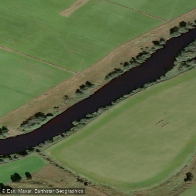
River Spey
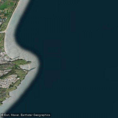
Don Estuary to Souter Head (Aberdeen)
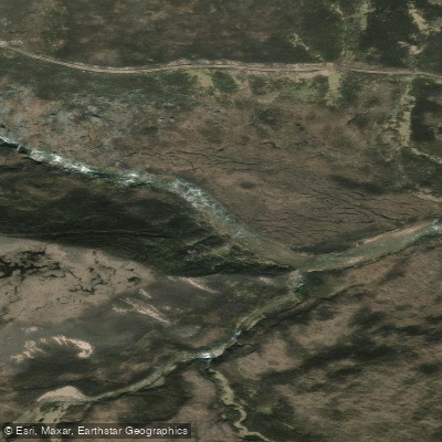
River Avon
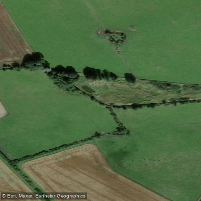
Burn of Elsick
Downie Point to Big Rob s Cove
River Isla
Explore Scotland waters
Top paddling waters
No waters available right now.
Popular Cities
Loading popular cities...
Explore near River Dee
Access points
Nearby waters
More in Scotland

Smarter Paddling Starts in the App.
Paddleways gives you everything you need to plan smarter, paddle better, and own every trip from first launch to takeout.