River Don
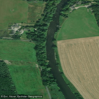
River Don
- Boat Ramps
- 0
- Access Points
- 1
- Campsites
- 1
The River Don in Yorkshire is a 70-mile stretch offering a varied paddling experience, ranging from flat water to grade 1 through grade 3+ whitewater. This diversity makes it suitable for recreational paddlers and whitewater enthusiasts alike, with different sections catering to different skill levels and preferences.
The river is paddleable from Deepcar, flowing down through Oughtibridge before entering the industrial surroundings of Sheffield and Rotherham, where it periodically forms part of a navigation. Below Oughtibridge, the river drops 160 feet over 8 miles to Brightside, a gradient maintained by a series of historic weirs that were originally built to power mills, hammers, and grinding wheels. These weirs remain in place today and represent a significant hazard that paddlers must account for throughout this section. Beyond Rotherham, the river continues through Conisborough and Doncaster, after which it transitions to a flat fenland character with touring potential.
The Sheffield stretch carries an unusual characteristic: the river water is used to cool hot metal in nearby foundries, raising the water temperature enough to support fig trees growing along the banks — a botanical curiosity not typically found in English conditions. The river passes through heavily industrial landscapes for much of its middle course, reflecting the region's long history as a centre of steel and metalworking.
The Don has a documented history of significant flooding. In June 2007, approximately 80 million cubic metres of rain fell on South Yorkshire, causing the river to burst its banks and flood areas from Hillsborough to Meadowhall in Sheffield, with two fatalities. Further flooding occurred in November 2019, affecting villages including Fishlake. Paddlers should be aware that the river can rise rapidly and dangerously in periods of high rainfall.
A Paddle UK (British Canoeing) waterways licence is required to paddle on this river, as it falls within the 4,500km of waterways covered by membership. Membership costs between £29 and £60 per year and is the standard mechanism for obtaining the necessary licence for paddling in England and Wales.
Water access, boat ramps & amenities
Learn how to get on River Don. Uncover great paddling access points, boat ramps, and all the facilities you need for an unforgettable day on the water. Some locations shown may border or include private property. Always check property boundaries and applicable regulations before visiting. PaddleWays's Public & Private Land layer can help you plan your access with confidence.
Paddle smarter with real-time insights
Whether you're en route and conditions shift or you're looking for the best spot based on current flows, we enable you to make informed decisions on the fly.







Scotland licenses and regulations

Find Places to Paddle

Over 400,000 Places to Paddle
Every user gets free access to launch points, boat ramps, and public property parcels.


Water and weather conditions (10 day forecast)
See the best times to paddle River Don and check the forecast before you go.
Alford
All Flow Stations
Paddling near River Don
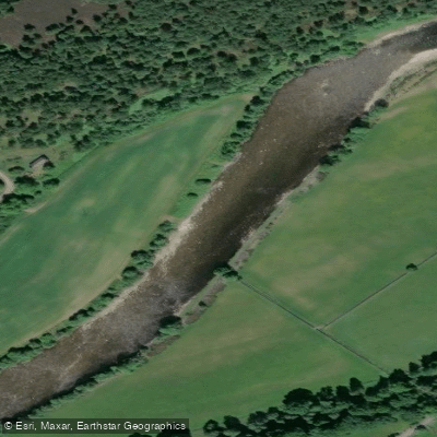
River Dee
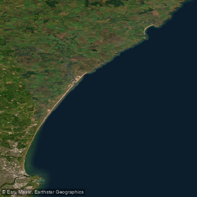
Cruden Bay to the Don Estuary
River Ythan
River Spey
Don Estuary to Souter Head (Aberdeen)
River Avon
Burn of Elsick
Downie Point to Big Rob s Cove
River Isla
Explore Scotland waters
Top paddling waters
No waters available right now.
Popular Cities
Loading popular cities...
Explore near River Don

Smarter Paddling Starts in the App.
Paddleways gives you everything you need to plan smarter, paddle better, and own every trip from first launch to takeout.