River Ythan
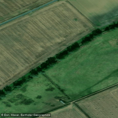
River Ythan
- Boat Ramps
- 0
- Access Points
- 0
- Campsites
- 0
The River Ythan rises at Ythanwells near Auchterless in Aberdeenshire, Scotland, at approximately 800 feet above sea level. The river runs approximately 63 kilometres (39 miles) in length, flowing through the towns of Fyvie, Methlick, Ellon, and Newburgh before reaching the North Sea. The estuary lies roughly 19 kilometres (12 miles) north of Aberdeen.
The lower section of the river transitions into the Ythan Estuary, where tidal influence extends approximately 7 kilometres (4.3 miles) inland. The estuary varies in width between 250 metres and 780 metres at its widest point. Moving inland from the mouth, paddlers encounter sandy beaches, then shingle beaches and mudflats. Further upstream, near the first bridge approximately 1,300 metres from the mouth, mussel beds and marshy areas are present. Salt marsh areas appear near Waterside Bridge and the mouth of the Tarty Burn. A small island called Geck Island sits further upstream and serves as habitat for cormorants. The surrounding land near the coast is predominantly flat farmland with few trees.
Canoeing is among the activities available on the estuary. Paddlers should be aware that the estuary is a site of significant ecological importance, carrying multiple designations including Special Protection Area, Ramsar site, Site of Special Scientific Interest, Candidate Special Area of Conservation, and National Nature Reserve, among others. It forms part of the Forvie National Nature Reserve, which encompasses approximately 976 hectares of sand dunes, tidal mudflats, and water. Given these designations, paddlers should exercise care to avoid disturbing wildlife, particularly during bird breeding seasons. The estuary supports large numbers of ducks, waders, seabirds, and geese, as well as marine life.
Fishing for salmon and sea trout in the estuary requires a special permit, while fishing for estuary species such as flounder is free. Paddlers sharing the water with anglers should be mindful of this activity. The Sands of Forvie, one of the largest sand dune areas in Europe with dunes reaching approximately 80 metres north of the estuary mouth, provide a notable geographical feature visible from the water.
Water access, boat ramps & amenities
Learn how to get on River Ythan. Uncover great paddling access points, boat ramps, and all the facilities you need for an unforgettable day on the water. Some locations shown may border or include private property. Always check property boundaries and applicable regulations before visiting. PaddleWays's Public & Private Land layer can help you plan your access with confidence.
Paddle smarter with real-time insights
Whether you're en route and conditions shift or you're looking for the best spot based on current flows, we enable you to make informed decisions on the fly.







Scotland licenses and regulations

Find Places to Paddle

Over 400,000 Places to Paddle
Every user gets free access to launch points, boat ramps, and public property parcels.


Water and weather conditions (10 day forecast)
See the best times to paddle River Ythan and check the forecast before you go.
Ellon
Paddling near River Ythan
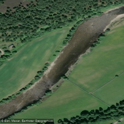
River Dee
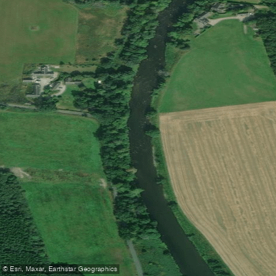
River Don
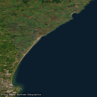
Cruden Bay to the Don Estuary
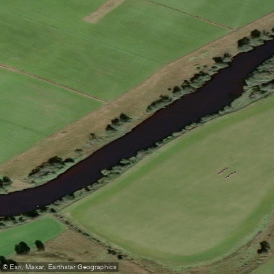
River Spey
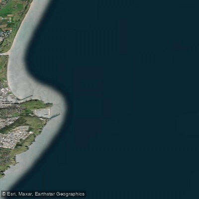
Don Estuary to Souter Head (Aberdeen)
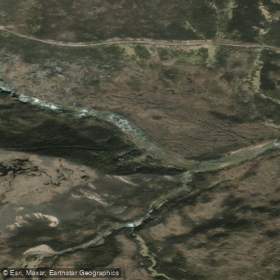
River Avon
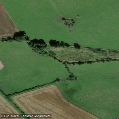
Burn of Elsick
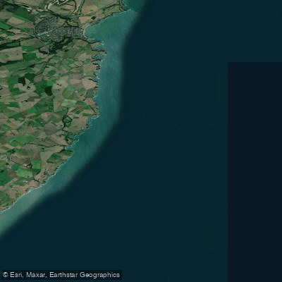
Downie Point to Big Rob s Cove
River Isla
Explore Scotland waters
Top paddling waters
No waters available right now.
Popular Cities
Loading popular cities...
Explore near River Ythan

Smarter Paddling Starts in the App.
Paddleways gives you everything you need to plan smarter, paddle better, and own every trip from first launch to takeout.