River Stinchar
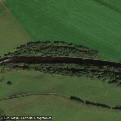
River Stinchar
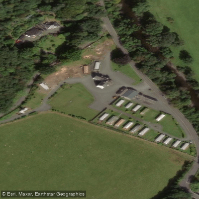
- Boat Ramps
- 0
- Access Points
- 0
- Campsites
- 1
The River Stinchar rises in the Carrick Forest, approximately one kilometre from the source of the River Girvan, and flows south-west for a main drainage course of 54 kilometres, passing through Barr, Pinwherry, and Colmonell before entering the sea at Ballantrae on the Ayrshire coast. The catchment covers 314 square kilometres and includes the main tributaries of the Muck Water, the Duisk River, the Water of Assel, and the Water of Tig. The Action for Access database lists 41 kilometres of the river.
The valley character is relatively low-lying along the main stem, with tributaries draining steeper valley sides. Land use in the catchment is dominated by forestry, hill grazing, and agriculture, with a low human population density and very little industry, giving the river a largely rural setting.
Water quality on the Stinchar is generally very good, with a diverse range of invertebrates present even in the lower reaches. The river supports salmon, trout, eels, minnows, sticklebacks, and both sea and brook lampreys. The Stinchar is particularly noted as a stronghold for eels, with a widespread and abundant population throughout the catchment.
The river has a long-standing reputation as a salmon fishery, especially for its autumn run, which historically produced notably large fish. Anglers are active on the river, and paddlers should be aware of fishing activity, particularly during the salmon season. The Stinchar District Salmon Fishery Board maintains a presence on the river, and paddlers planning trips should consider potential interactions with fishing operations, especially in autumn when the salmon run is at its peak.
Water access, boat ramps & amenities
Learn how to get on River Stinchar. Uncover great paddling access points, boat ramps, and all the facilities you need for an unforgettable day on the water. Some locations shown may border or include private property. Always check property boundaries and applicable regulations before visiting. PaddleWays's Public & Private Land layer can help you plan your access with confidence.
Paddle smarter with real-time insights
Whether you're en route and conditions shift or you're looking for the best spot based on current flows, we enable you to make informed decisions on the fly.







Scotland licenses and regulations

Find Places to Paddle

Over 400,000 Places to Paddle
Every user gets free access to launch points, boat ramps, and public property parcels.


Water and weather conditions (10 day forecast)
See the best times to paddle River Stinchar and check the forecast before you go.
Balnowlart
Paddling near River Stinchar
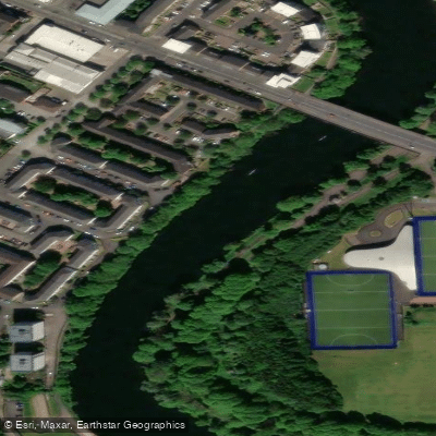
River Clyde
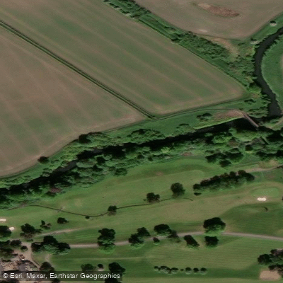
River Kelvin
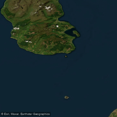
Firth of Clyde
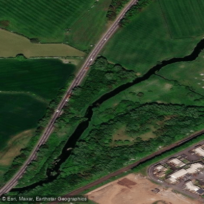
Black Cart Water
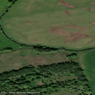
River Avon
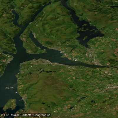
Clyde Estuary - Outer
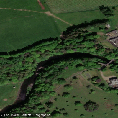
River Ayr
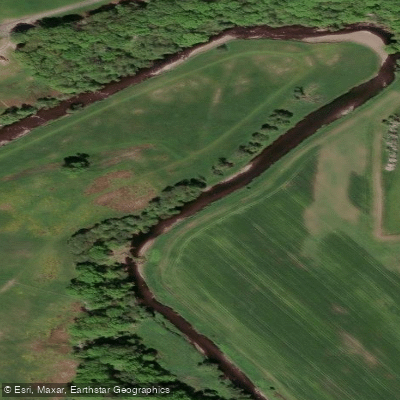
Endrick Water
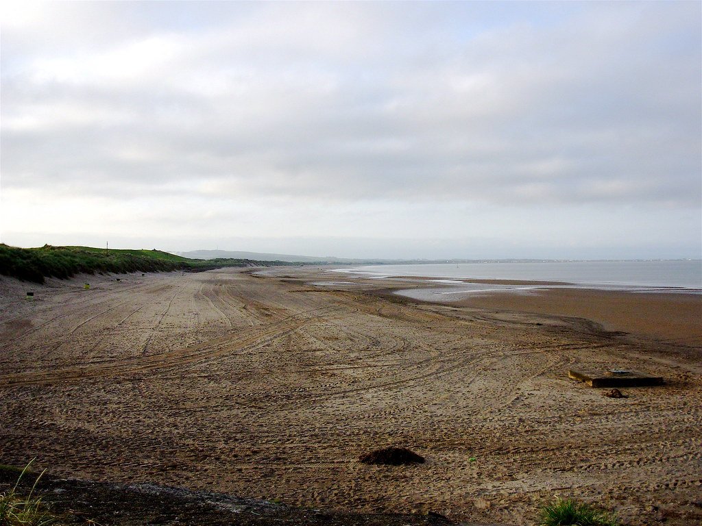
Irvine Bay
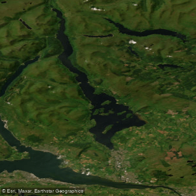
Loch Lomond
Explore Scotland waters
Top paddling waters
No waters available right now.
Popular Cities
Loading popular cities...
Explore near River Stinchar
Access points
Nearby waters
More in Scotland

Smarter Paddling Starts in the App.
Paddleways gives you everything you need to plan smarter, paddle better, and own every trip from first launch to takeout.