Carrigdrohid Reservoir
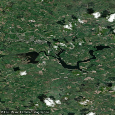
Carrigdrohid Reservoir
- Boat Ramps
- 0
- Access Points
- 0
- Campsites
- 0
Carrigdrohid Reservoir sits on the River Lee in County Cork, approximately 12 kilometres from Cork City and 6 kilometres from Blarney Village, with the town of Macroom serving as the nearest significant settlement. The reservoir was formed by Carrigdrohid Dam and occupies a scenic valley setting, forming part of a pair of ESB-managed reservoirs on the Lee alongside the downstream Inniscarra Reservoir.
The water body has a notable historical character. Submerged sections of the former Cork-Macroom railway line remain within the reservoir, and bridge remnants become visible during periods of low water. Similarly, the stumps of trees cleared during the reservoir's creation are preserved in place and emerge at low water levels, offering an unusual visual record of the landscape that existed before flooding. At least five species of pondweed have been recorded in the reservoir, including two that are uncommon in Ireland, and when water levels drop, exposed mudflats support a diverse ephemeral flora including Water Purslane, Knotgrasses, Trifid Bur-marigold, Marsh Yellow-cress, and Six-stamened Waterwort.
Access to the reservoir is described as limited, with some bank access available. The Coachford Greenway, a multi-use path with National Trails status, runs along 2.8 kilometres of bank and includes regular parking bays and access points reached from a single carriageway road. Water depth in the Greenway section ranges from 6 to 9 metres at approximately 30 metres from the bank. Anglers should note that ESB regulations restrict fishing to bank fishing only on these waters; paddlers should verify current access permissions with the ESB amenity officer before launching, as the reservoir is managed ESB infrastructure with controlled access.
The reservoir is managed by ESB, and any access or activity on the water should be confirmed in advance with ESB or local contacts, as land access restrictions apply in at least some areas around the shoreline.
Water access, boat ramps & amenities
Learn how to get on Carrigdrohid Reservoir. Uncover great paddling access points, boat ramps, and all the facilities you need for an unforgettable day on the water. Some locations shown may border or include private property. Always check property boundaries and applicable regulations before visiting. PaddleWays's Public & Private Land layer can help you plan your access with confidence.
Paddle smarter with real-time insights
Whether you're en route and conditions shift or you're looking for the best spot based on current flows, we enable you to make informed decisions on the fly.







Co. Cork licenses and regulations
No licenses or regulations available for Co. Cork.
Find Places to Paddle

Over 400,000 Places to Paddle
Every user gets free access to launch points, boat ramps, and public property parcels.


Water and weather conditions (10 day forecast)
See the best times to paddle Carrigdrohid Reservoir and check the forecast before you go.
Carrigadrohid Headrace
Paddling near Carrigdrohid Reservoir
Lee [Cork]
Bandon
Western Celtic Sea (HAs 18;19;20)
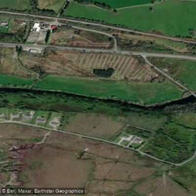
Flesk [Kerry]
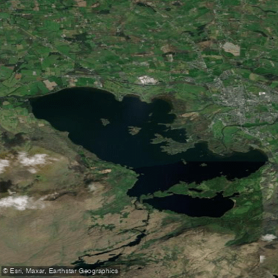
Lough Leane
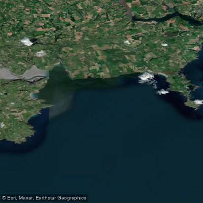
Courtmacsherry Bay
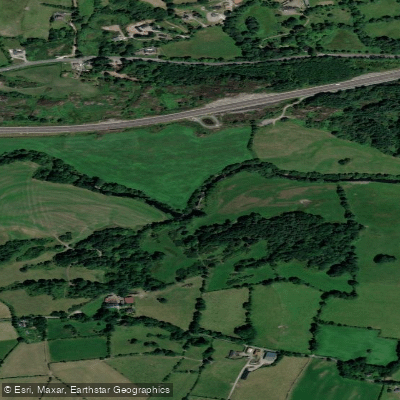
Sullane
Blackwater [Munster]
Clonakilty Bay
Inniscarra Reservoir
Explore Cork waters
Top paddling waters
No waters available right now.
Popular Cities
Loading popular cities...
Explore near Carrigdrohid Reservoir

Smarter Paddling Starts in the App.
Paddleways gives you everything you need to plan smarter, paddle better, and own every trip from first launch to takeout.