Lough Mahon
- Saltwater
- Estuary
Lough Mahon
- Saltwater
- Estuary
- Sq. miles
- 4.7
- Boat Ramps
- 0
- Access Points
- 1
- Campsites
- 0
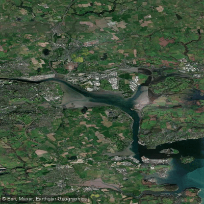
Lough Mahon is a shallow tidal sea-lough forming the north-western inlet of Cork Harbour in County Cork, Ireland. It covers roughly 12 square kilometres and is characterized by extensive mudflats that are exposed at low tide, transforming the area into a wide expanse of water at high tide. This significant tidal range is the primary factor for paddlers to plan around, as the exposed mud banks can become inaccessible hazards. The lough is ringed by the urban areas of Mahon, Douglas, Rochestown, Blackrock, and Ballinlough, with Passage West to the south and Little Island to the north. It is part of the Cork Harbour Special Protection Area due to its importance for wintering and migratory wading birds. For paddlers, the key safety consideration is wind exposure, particularly from the south-west. Strong south-westerly winds can push craft into the inaccessible mud banks near Little Island, a noted hazard during organized events. The area also features a dredged, marked shipping channel leading towards Cork City, which is used by commercial vessels and cruise ships; paddlers must be aware of this traffic. The Lough Mahon Greenway provides a flat, car-free path along the shore with access from the Mahon and Blackrock areas, suggesting potential for shore-based entry. The scenic walkway offers fine views of Blackrock Castle, a notable landmark on the water. The best time for a paddling visit is timed to the tide, with low tide offering the opportunity to observe birdlife on the mudflats, including species like curlew, redshank, oystercatcher, and dunlin, particularly during autumn migration. The overall character is an urban estuary, where city suburbs meet a working harbour and significant natural habitat.
Water access, boat ramps & amenities
Learn how to get on Lough Mahon. Uncover great paddling access points, boat ramps, and all the facilities you need for an unforgettable day on the water. Some locations shown may border or include private property. Always check property boundaries and applicable regulations before visiting. PaddleWays's Public & Private Land layer can help you plan your access with confidence.
Paddle smarter with real-time insights
Whether you're en route and conditions shift or you're looking for the best spot based on current flows, we enable you to make informed decisions on the fly.







Co. Cork licenses and regulations
No licenses or regulations available for Co. Cork.
Find Places to Paddle

Over 400,000 Places to Paddle
Every user gets free access to launch points, boat ramps, and public property parcels.


Tides, wind & water conditions (10 day forecast)
On open water, wind and tide matter as much as the weather. See the best times to paddle Lough Mahon and check the marine forecast before you launch.
Loading tide predictions…
Paddling near Lough Mahon
Lee [Cork]
Blackwater [Munster]
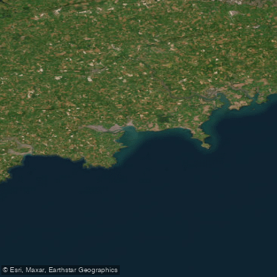
Western Celtic Sea (HAs 18;19;20)
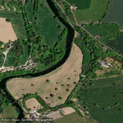
Suir
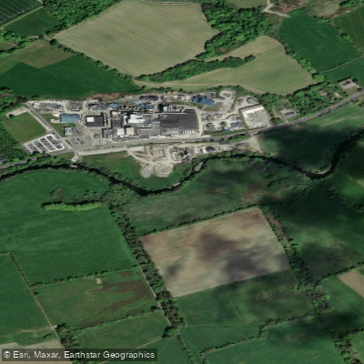
Bandon
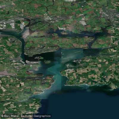
Cork Harbour
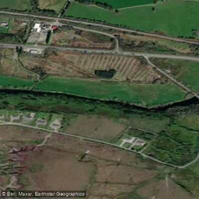
Flesk [Kerry]
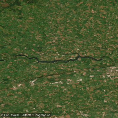
Inniscarra Reservoir
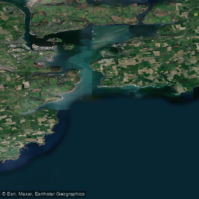
Outer Cork Harbour
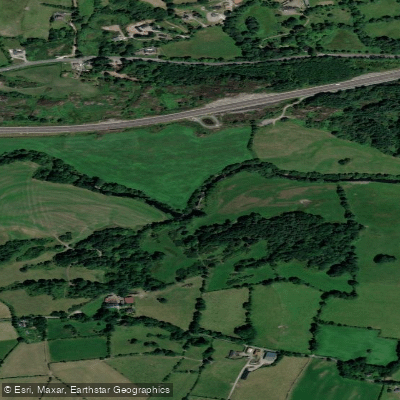
Sullane
Explore Cork waters
Top paddling waters
No waters available right now.
Popular Cities
Loading popular cities...
Explore near Lough Mahon

Smarter Paddling Starts in the App.
Paddleways gives you everything you need to plan smarter, paddle better, and own every trip from first launch to takeout.