Suir
Suir
- Boat Ramps
- 0
- Access Points
- 1
- Campsites
- 0
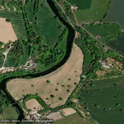
The River Suir in County Tipperary flows through the southeast of Ireland, forming the basis of the Suir Blueway, one of Ireland's four officially accredited blueways. The paddling trail runs 53 km from Cahir to Carrick-on-Suir, passing through Clonmel along the way. The river is accessible roughly two hours from Dublin and one hour from Cork via the M8 motorway.
The character of the river changes noticeably along its length. The section near Cahir tends to be calmer and slower-moving, making it suitable for beginners and those looking for a more relaxed outing. Moving downstream through Clonmel, the water becomes livelier with more active stretches. The Kilsheelan to Carrick-on-Suir section is described as predominantly flat and slow-running, again appropriate for less experienced paddlers. The Cahir to Carrick-on-Suir corridor is considered the most scenic stretch of the route, passing through the Suir Valley with views of medieval towns, castle ruins, tower houses, churches, and lush farmland. Notable landmarks along the route include Cahir Castle, Ormond Castle, and the Swiss Cottage.
In Clonmel, a fish ladder feature known as the Fishboxes serves as the primary freestyle and playboating spot in Ireland. Located in the centre of town, it functions from a Clonmel gauge reading of 0.4 and below. The feature is large enough for playboating and hosts the Southeast Freestyle Festival. One noted hazard at this location is the presence of metal bars within the wave that can damage boats.
Paddlers should be aware of a biosecurity concern on the Suir: the river is affected by Crayfish plague, and Canoeing Ireland advises against paddling here unless it is your local river, in order to prevent spreading the disease to other waterways. Washing and drying gear thoroughly before and after paddling is strongly recommended.
The Suir Blueway infrastructure includes access points, equipment hire providers, guided tour operators, and accommodation options along the route. A 21 km walking and cycling trail runs alongside the water trail between Clonmel and Carrick-on-Suir along an old towpath formerly used by horse-drawn barges. Wildlife along the river includes kingfishers, among other species.
Water access, boat ramps & amenities
Learn how to get on Suir. Uncover great paddling access points, boat ramps, and all the facilities you need for an unforgettable day on the water. Some locations shown may border or include private property. Always check property boundaries and applicable regulations before visiting. PaddleWays's Public & Private Land layer can help you plan your access with confidence.
Paddle smarter with real-time insights
Whether you're en route and conditions shift or you're looking for the best spot based on current flows, we enable you to make informed decisions on the fly.







Co. Tipperary licenses and regulations
No licenses or regulations available for Co. Tipperary.
Find Places to Paddle

Over 400,000 Places to Paddle
Every user gets free access to launch points, boat ramps, and public property parcels.


Water and weather conditions (10 day forecast)
See the best times to paddle Suir and check the forecast before you go.
Beakstown
All Flow Stations
Paddling near Suir
Shannon [Lower]
Eastern Celtic Sea (HAs 13;17)
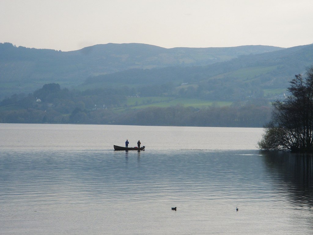
Lough Derg

Barrow
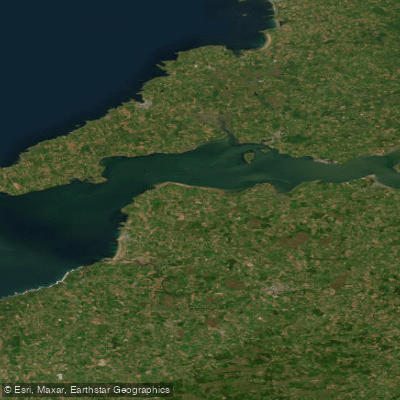
Shannon Estuary
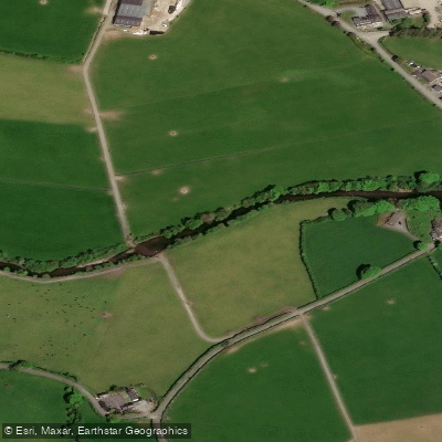
Nier
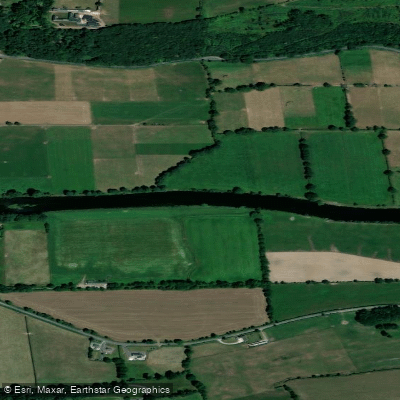
Blackwater [Munster]
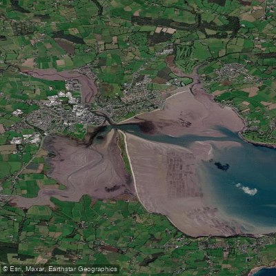
Colligan Estuary
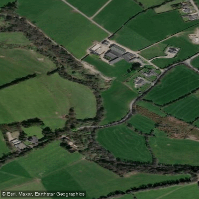
Clodiagh [Portlaw]
Explore Tipperary waters
Top paddling waters
No waters available right now.
Popular Cities
Loading popular cities...
Explore near Suir
Access points
Nearby waters
More in Co. Tipperary

Smarter Paddling Starts in the App.
Paddleways gives you everything you need to plan smarter, paddle better, and own every trip from first launch to takeout.