Dodder
Dodder
- Boat Ramps
- 0
- Access Points
- 0
- Campsites
- 0
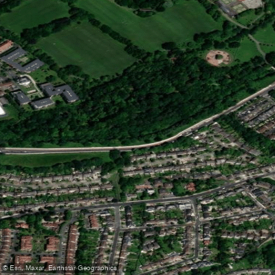
The River Dodder is an urban river flowing through south Dublin, running roughly from the Tallaght area through suburbs including Templeogue, Rathfarnham, Milltown, and Ballsbridge before joining the River Liffey at Ringsend. The UCD Canoe Club rates the river at Grade 2-3, indicating moderate to intermediate whitewater character.
The lower tidal section near Ringsend can be accessed by kayak from the River Liffey at high tide, as demonstrated by at least one documented trip in February 2023. This tidal stretch transitions to the main river corridor upstream. High stone flood walls line portions of the river in the lower reaches, which can limit bank access in those areas. Further upstream, much of the river is bordered by linear parks — including Dodder Valley Park — which provide more open access along the banks.
Water levels on the Dodder respond quickly to rainfall. After heavy precipitation, currents can become strong and conditions dangerous, a factor that applies equally to paddlers as to those attempting the river's ford crossings. Paddlers should monitor water levels carefully before committing to a trip.
The river supports a notable variety of wildlife despite its urban setting, including mallards, dippers, cormorants, grey herons, mute swans, and gulls. Terns are present in the Ringsend area during spring. The river also holds a healthy population of brown trout throughout much of its length, with sea trout entering the lower reaches in late summer.
Public transport access is good throughout the corridor, with bus routes serving suburbs along the river including Templeogue, Rathfarnham, and Bushy Park. The Dodder Greenway runs alongside portions of the river and has seen recent infrastructure upgrades, improving access along the corridor.
Water access, boat ramps & amenities
Learn how to get on Dodder. Uncover great paddling access points, boat ramps, and all the facilities you need for an unforgettable day on the water. Some locations shown may border or include private property. Always check property boundaries and applicable regulations before visiting. PaddleWays's Public & Private Land layer can help you plan your access with confidence.
Paddle smarter with real-time insights
Whether you're en route and conditions shift or you're looking for the best spot based on current flows, we enable you to make informed decisions on the fly.







Co. Dublin licenses and regulations
No licenses or regulations available for Co. Dublin.
Find Places to Paddle

Over 400,000 Places to Paddle
Every user gets free access to launch points, boat ramps, and public property parcels.


Water and weather conditions (10 day forecast)
See the best times to paddle Dodder and check the forecast before you go.
Anglesea Road
Paddling near Dodder
Liffey
Dublin Bay
Avonmore
Vartry
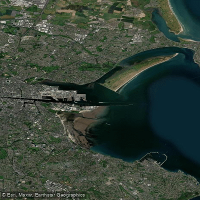
Liffey Estuary Lower
Avonbeg
Dargle
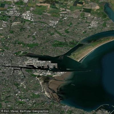
Tolka Estuary
Rye Water
Explore Dublin waters
Top paddling waters
No waters available right now.
Popular Cities
Loading popular cities...
Explore near Dodder
More in Co. Dublin

Smarter Paddling Starts in the App.
Paddleways gives you everything you need to plan smarter, paddle better, and own every trip from first launch to takeout.