Avonbeg
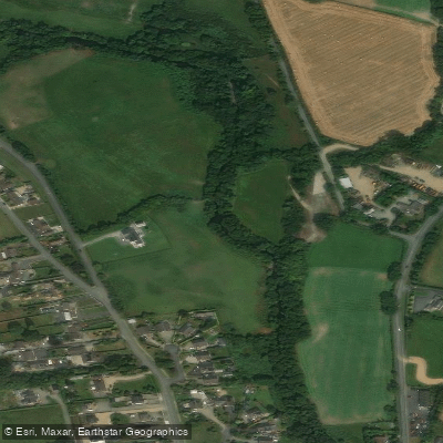
Avonbeg
- Boat Ramps
- 0
- Access Points
- 0
- Campsites
- 1
The River Avonbeg (Irish: Abhainn Beag, meaning "small river") is approximately 26.6 km long and flows through County Wicklow in eastern Ireland. It rises on the northern flank of Camenabologue Mountain in the Wicklow Mountains, southwest of Glendalough, and flows southeast through the Glenmalure valley, passing the villages of Greenan and Ballinaclash before joining the Avonmore River on the outskirts of the village of Avoca — a confluence known as the Meeting of the Waters.
Kayaking does occur on the Avonbeg, though it appeals primarily to experienced paddlers. The river's character is defined by twisty, rocky stretches, with Stanley Falls noted as one of the more demanding features. The narrower, calmer sections offer some relief, but the river's overgrown banks present a consistent challenge throughout, complicating access and requiring careful route planning. Access points are available near Ballinaclash.
The Glenmalure valley setting gives the river a distinctly remote, upland character. The Wicklow Way national trail runs alongside the river through this valley, and the Baravore Ford area serves as a focal point for outdoor activity in the region. Historic mining remnants are also present along the river corridor, adding some cultural and industrial heritage to the landscape.
The Avonbeg is primarily known as a spawning tributary and supports stocks of wild brown trout, though it is not a major angling destination. Angling for Atlantic salmon is prohibited on the entire Avoca River system, which includes the Avonbeg, under current regulations. Fishing for trout is controlled by riparian owners, who issue permits, with a season running from March 15 to September 30. Paddlers should be aware that riparian ownership along the banks may affect access in certain stretches.
Upland gully restoration projects were underway as of 2024, aimed at improving water quality and habitat conditions in the catchment, which may have longer-term implications for the river's recreational character.
Water access, boat ramps & amenities
Learn how to get on Avonbeg. Uncover great paddling access points, boat ramps, and all the facilities you need for an unforgettable day on the water. Some locations shown may border or include private property. Always check property boundaries and applicable regulations before visiting. PaddleWays's Public & Private Land layer can help you plan your access with confidence.
Paddle smarter with real-time insights
Whether you're en route and conditions shift or you're looking for the best spot based on current flows, we enable you to make informed decisions on the fly.







Co. Wicklow licenses and regulations
No licenses or regulations available for Co. Wicklow.
Find Places to Paddle

Over 400,000 Places to Paddle
Every user gets free access to launch points, boat ramps, and public property parcels.


Water and weather conditions (10 day forecast)
See the best times to paddle Avonbeg and check the forecast before you go.
No forecast data available.
Paddling near Avonbeg
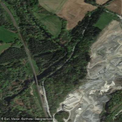
Avonmore
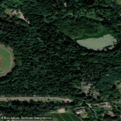
Vartry
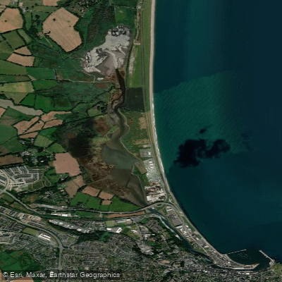
Broad Lough
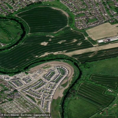
Liffey
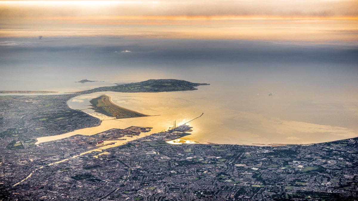
Dublin Bay
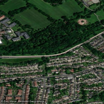
Dodder
Dargle
Brittas Bay

Barrow
Explore Wicklow waters
Top paddling waters
No waters available right now.
Popular Cities
Loading popular cities...
Explore near Avonbeg
Access points
More in Co. Wicklow

Smarter Paddling Starts in the App.
Paddleways gives you everything you need to plan smarter, paddle better, and own every trip from first launch to takeout.