Dargle
Dargle
- Boat Ramps
- 0
- Access Points
- 2
- Campsites
- 0
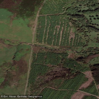
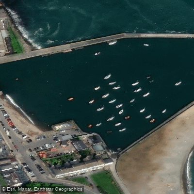
The River Dargle is a whitewater river in County Wicklow, Ireland, draining the northern slopes of Djouce Mountain in the Wicklow Mountains before reaching the Irish Sea at Bray Harbour. The paddleable section is approximately 4 kilometres long and is graded 4 to 5 by Irish Whitewater, placing it firmly in the advanced to expert category.
The river's most prominent feature is a major falls — referred to in paddling accounts as "the main falls" — which has been run at gauge levels around 6 blocks and higher. Paddlers use a block-based gauge system at the take-out bridge to assess runnability, with levels in the 5 to 5.5 block range described as providing a quality run with sufficient water while still allowing eddy access above the main drop. At lower levels the river becomes noticeably more technical and bony.
The Dargle catchment covers approximately 128 square kilometres, with the upper river flowing through terrain characterised by granite, slate, shale, and schist geology. The upper reaches pass through forested valley sections before the gradient increases through the main whitewater. The take-out is at a bridge. Upstream, the river flows beneath Powerscourt Waterfall — Ireland's highest at 121 metres — which represents an obvious and absolute hazard requiring portage or avoidance depending on the chosen run section.
Given the Grade 4-5 classification, the Dargle is not appropriate for intermediate paddlers and should only be attempted by those with solid advanced whitewater skills and familiarity with Irish spate rivers. Like most Irish mountain rivers, it is rain-dependent and runs best following significant rainfall.
Water access, boat ramps & amenities
Learn how to get on Dargle. Uncover great paddling access points, boat ramps, and all the facilities you need for an unforgettable day on the water. Some locations shown may border or include private property. Always check property boundaries and applicable regulations before visiting. PaddleWays's Public & Private Land layer can help you plan your access with confidence.
Paddle smarter with real-time insights
Whether you're en route and conditions shift or you're looking for the best spot based on current flows, we enable you to make informed decisions on the fly.







Co. Wicklow licenses and regulations
No licenses or regulations available for Co. Wicklow.
Find Places to Paddle

Over 400,000 Places to Paddle
Every user gets free access to launch points, boat ramps, and public property parcels.


Water and weather conditions (10 day forecast)
See the best times to paddle Dargle and check the forecast before you go.
Powerscourt House
All Flow Stations
Paddling near Dargle
Liffey
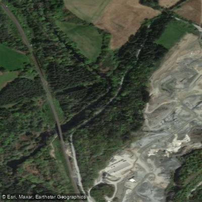
Avonmore
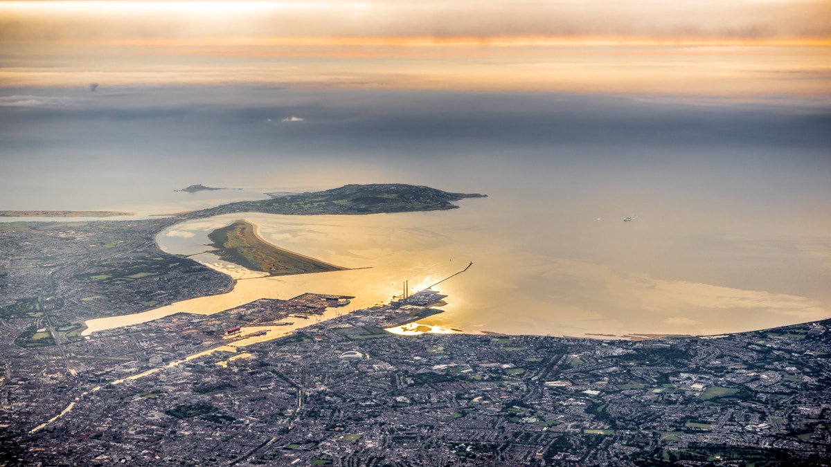
Dublin Bay
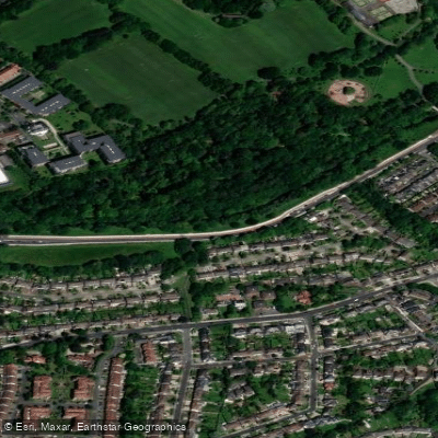
Dodder
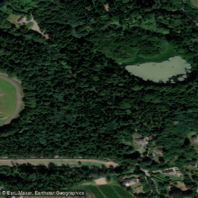
Vartry
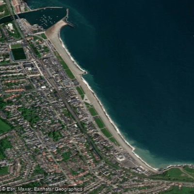
Bray Beach
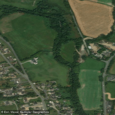
Avonbeg
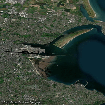
Liffey Estuary Lower
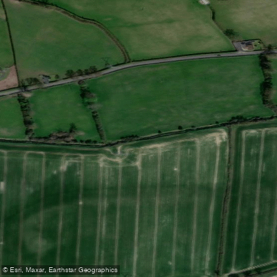
Rye Water
Explore Wicklow waters
Top paddling waters
No waters available right now.
Popular Cities
Loading popular cities...
Explore near Dargle
Access points
More in Co. Wicklow

Smarter Paddling Starts in the App.
Paddleways gives you everything you need to plan smarter, paddle better, and own every trip from first launch to takeout.