Lough Corrib

Lough Corrib
- Boat Ramps
- 2
- Access Points
- 3
- Campsites
- 0
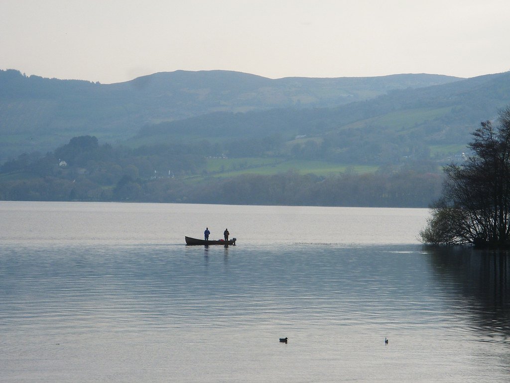
Lough Corrib is the second-largest freshwater lake in Ireland, located in County Galway in the west of the country. The lake covers approximately 176 square kilometres and stretches roughly 45 kilometres in length. It contains a remarkable number of islands — estimates range from over 300 large ones to more than 1,300 in total, though local lore often cites the figure of 365. The lake connects to Galway Bay via the Owenriff River to the south.
The lake's character is shaped by its irregular middle section, which is a long channel dense with islands, and by its more open northern waters. Navigation requires care, as the lake contains numerous limestone reefs that sit just below the surface and pose a real hazard to hulls. Irish Waterways has installed a system of marker buoys to assist with navigation, particularly in the island-heavy central sections. Paddlers unfamiliar with the lake are advised to seek local guidance before venturing out, as the scale and complexity of the waterway can be disorienting. In the event of an emergency on the water, the Cong and Mask rescue services cover the area, coordinated through the coastguard.
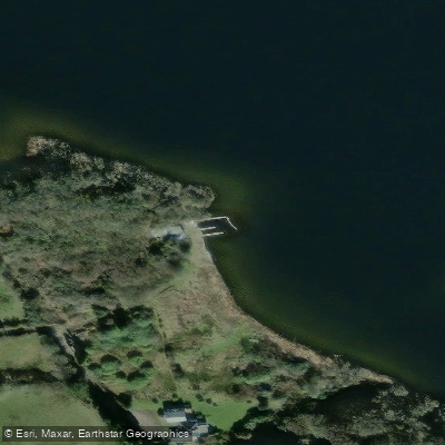
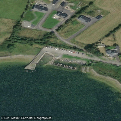
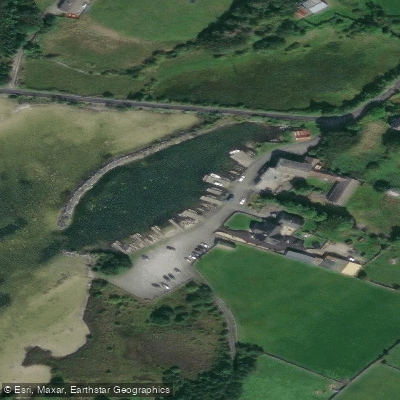
Access points include Knockferry, situated roughly midway along the lake's length at its narrowest point, and Cornamona Pier on the R345, which serves as a launch site for guided kayaking and sailing operations. The village of Clonbur on the western shore is another base for water-based activities. Cruises also depart from Cong, Ashford Castle, Galway City, and Oughterard.
The lake supports a diverse range of wildlife, including trout, hawks, otters, mink, stoat, frogs, and bats. Inchagoill Island is among the most notable of the lake's islands, containing ruins of a 5th-century monastery. The surrounding landscape includes views of the Connemara mountains to the west.
Guided kayaking tours operating from Clonbur and Cornamona accept paddlers of all experience levels. Fishing on the lake requires a licence for salmon. The lake sits within the Wild Atlantic Way tourism corridor, reflecting its position on Ireland's western seaboard.
Water access, boat ramps & amenities
Learn how to get on Lough Corrib. Uncover great paddling access points, boat ramps, and all the facilities you need for an unforgettable day on the water. Some locations shown may border or include private property. Always check property boundaries and applicable regulations before visiting. PaddleWays's Public & Private Land layer can help you plan your access with confidence.
Paddle smarter with real-time insights
Whether you're en route and conditions shift or you're looking for the best spot based on current flows, we enable you to make informed decisions on the fly.







Co. Galway licenses and regulations
No licenses or regulations available for Co. Galway.
Find Places to Paddle

Over 400,000 Places to Paddle
Every user gets free access to launch points, boat ramps, and public property parcels.


Water and weather conditions (10 day forecast)
See the best times to paddle Lough Corrib and check the forecast before you go.
Annaghdown Pier
All Flow Stations
Paddling near Lough Corrib
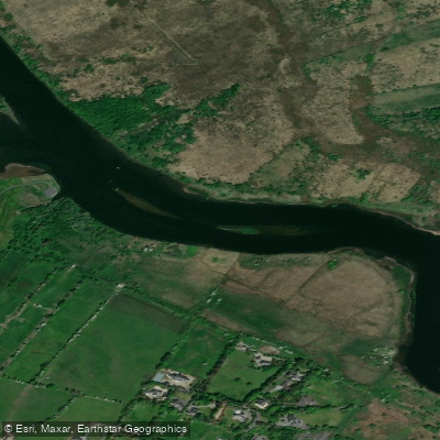
Corrib
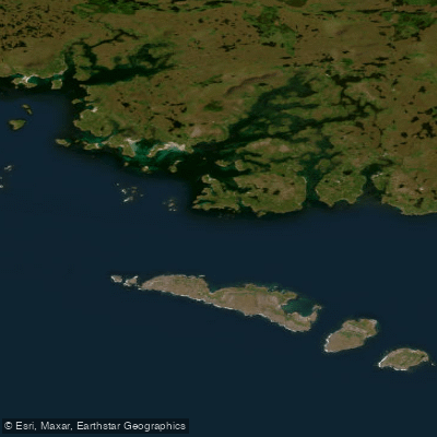
Aran Islands, Galway Bay, Connemara (HAs 29;31)
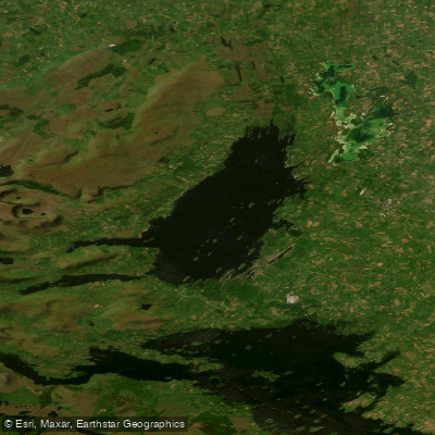
Lough Mask
Clare [Galway]
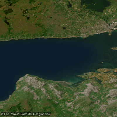
Outer Galway Bay

Suck
Cashla
Inner Galway Bay North
Lough Derg
Explore Galway waters
Top paddling waters
No waters available right now.
Popular Cities
Loading popular cities...
Explore near Lough Corrib

Smarter Paddling Starts in the App.
Paddleways gives you everything you need to plan smarter, paddle better, and own every trip from first launch to takeout.