Corrib
Corrib
- Boat Ramps
- 0
- Access Points
- 0
- Campsites
- 0
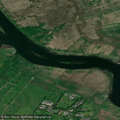
The Corrib system in County Galway, Ireland, comprises two distinct paddling environments: Lough Corrib, the largest lake in the Republic of Ireland at approximately 170 square kilometres, and the River Corrib, which drains the lough southward through Galway city to Galway Bay. The river is among the shortest in Europe at only six kilometres in length.
Lough Corrib contains over 1,000 islands and islets, with estimates of the total count reaching well over 1,300, though local lore often cites the more convenient figure of 365. The lake is oriented roughly north-south, stretching approximately 45 kilometres in length, with a notably narrow middle section near Knockferry. The lakebed features numerous limestone reefs that present a genuine hazard to paddlers and boaters; Irish Waterways has installed a system of marker buoys to assist navigation, and these should be followed carefully. The open water sections of the upper lake can expose paddlers to significant wind and wave conditions, and the combination of exposed water and submerged rocks demands careful attention to weather before setting out.
Access points include Knockferry, situated roughly midway along the lake's length, and Cornamona Pier on the western shore near Clonbur. Guided kayaking and sailing tours operate from Clonbur and from the Cornamona area. The River Corrib, running through the centre of Galway city, is popular with local whitewater kayakers as well as rowing clubs and recreational craft.
A typical lake paddling route involves island hopping, navigating rocky and reedy channels, and crossing sections of open water. Inchagoill is noted as the largest true island in the lake not connected to shore by causeway. The surrounding landscape reflects the broader Connemara character, with diverse wildlife including otters, hawks, bats, stoats, mink, and frogs, as well as brown trout and Atlantic salmon in the water. The lake is well regarded for its mayfly hatches, particularly in late spring and early June.
The lake is accessible year-round, though paddlers should monitor local weather and daylight hours carefully given the potential for rapid condition changes on open water.
Water access, boat ramps & amenities
Learn how to get on Corrib. Uncover great paddling access points, boat ramps, and all the facilities you need for an unforgettable day on the water. Some locations shown may border or include private property. Always check property boundaries and applicable regulations before visiting. PaddleWays's Public & Private Land layer can help you plan your access with confidence.
Paddle smarter with real-time insights
Whether you're en route and conditions shift or you're looking for the best spot based on current flows, we enable you to make informed decisions on the fly.







Co. Galway licenses and regulations
No licenses or regulations available for Co. Galway.
Find Places to Paddle

Over 400,000 Places to Paddle
Every user gets free access to launch points, boat ramps, and public property parcels.


Water and weather conditions (10 day forecast)
See the best times to paddle Corrib and check the forecast before you go.
Wolfe Tone Bridge
All Flow Stations
Paddling near Corrib

Lough Corrib
Outer Galway Bay
Clare [Galway]

Suck
Aran Islands, Galway Bay, Connemara (HAs 29;31)
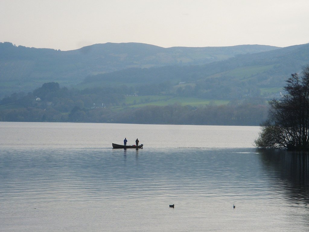
Lough Derg
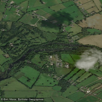
Shannon [Lower]
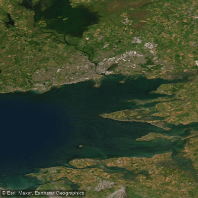
Inner Galway Bay North
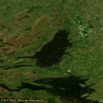
Lough Mask
Explore Galway waters
Top paddling waters
No waters available right now.
Popular Cities
Loading popular cities...
Explore near Corrib

Smarter Paddling Starts in the App.
Paddleways gives you everything you need to plan smarter, paddle better, and own every trip from first launch to takeout.