Lough Mask
Lough Mask
- Boat Ramps
- 0
- Access Points
- 0
- Campsites
- 0
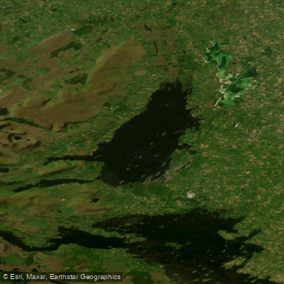
Lough Mask is a large limestone lake straddling Counties Mayo and Galway in the west of Ireland, covering approximately 32 square miles (83 sq km), roughly 20,000 acres in extent. It runs about 10 miles long by 4 miles wide and sits approximately 30 km north-west of Galway city and 20 km south-east of Ballina, accessible via the N84 and R310 roads through Cong and Clonbur.
The lake is notable for its extensive reef systems lying just beneath the surface — a serious hazard for any vessel. These submerged limestone reefs are capable of causing severe hull damage and demand careful navigation, particularly for paddlers unfamiliar with the water. The lake contains numerous islands, and the middle section between Carrigeendauv in the north and Ram's Island in the south is characterised by deeper water and complex island-edge topography.
Access points are distributed around the lough. Cushlough Bay on the eastern shore is the primary access point, offering a large car park, an anglers' shelter, and public toilets. Other access points include Cahir Bay, Ballinchalla Bay, Roshill, Ferry Bridge, Annagh, Churchfield, Tourmakeady, Srah, Ballygarry, and Aughinish. Local permission is required at some of these locations. Cather Pier, approximately 5 km from Ballinrobe, is also used as a launch point. Access to the lake itself is free, with no admission charges.
The lake's character varies considerably across its extent. Cushlough Bay is shallow with heavy weed growth in summer. The western side of the lake is generally deeper than the eastern side. The Bay of Islands area features varied currents around island edges, while Ram's Horn Bay holds deeper water. The lake is connected to Lough Corrib by an underground river.
The island of Inishmaan within the lough contains the remains of a Celtic church of St. Cormac, originally built in the 6th century and enlarged in the 12th century, providing a point of historical interest for those exploring by water.
Wildlife on and around the lake includes brown trout, ferox trout, European perch, and northern pike. Public transport to the area is limited, with regional bus services stopping in Cong and Ballinrobe, and taxi connections available for onward travel to lakeside access points.
Water access, boat ramps & amenities
Learn how to get on Lough Mask. Uncover great paddling access points, boat ramps, and all the facilities you need for an unforgettable day on the water. Some locations shown may border or include private property. Always check property boundaries and applicable regulations before visiting. PaddleWays's Public & Private Land layer can help you plan your access with confidence.
Paddle smarter with real-time insights
Whether you're en route and conditions shift or you're looking for the best spot based on current flows, we enable you to make informed decisions on the fly.







Co. Galway licenses and regulations
No licenses or regulations available for Co. Galway.
Find Places to Paddle

Over 400,000 Places to Paddle
Every user gets free access to launch points, boat ramps, and public property parcels.


Water and weather conditions (10 day forecast)
See the best times to paddle Lough Mask and check the forecast before you go.
Caher Pier
Paddling near Lough Mask

Lough Corrib
Clew Bay

Suck
Lough Carra
Inner Clew Bay
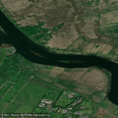
Corrib
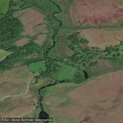
Erriff 32
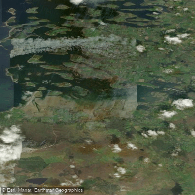
Westport Bay
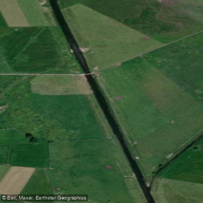
Clare [Galway]
Explore Galway waters
Top paddling waters
No waters available right now.
Popular Cities
Loading popular cities...
Explore near Lough Mask
Nearby waters
More in Co. Galway

Smarter Paddling Starts in the App.
Paddleways gives you everything you need to plan smarter, paddle better, and own every trip from first launch to takeout.