Kenmare River
- Saltwater
- Bay
Kenmare River
- Saltwater
- Bay
- Sq. miles
- 54
- Boat Ramps
- 0
- Access Points
- 0
- Campsites
- 0
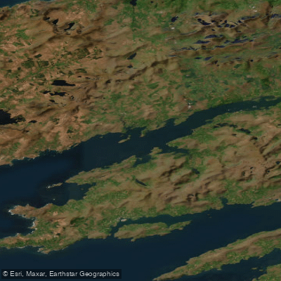
The Kenmare River, also historically and commonly referred to as Kenmare Bay, is a large, fjord-like saltwater bay on Ireland's southwest coast. It is a drowned glacial valley approximately 55 kilometers long, situated between the Iveragh Peninsula to the north and the Beara Peninsula to the south, creating a sheltered location for paddling. The bay is dotted with numerous islands, including the Greenane Islands, Daniel’s Island, and others near the Parknasilla Estate, offering many inlets and channels to explore. The shoreline is steep and rugged, composed of Old Red Sandstone, and the entire area is designated as a Special Area of Conservation. Paddlers can expect to encounter common seals hauled out on rocks, bottlenose dolphins, and a wide variety of sea birds; white-tailed sea eagles nest on the surrounding cliffs, and basking sharks may be seen in early May. The water is salt, and the bay experiences significant tidal movement. For safety, paddlers are advised to know the weather conditions thoroughly, as the harbour areas can be very exposed to westerly and northerly swell. Timing a paddle to coincide with high tide is recommended to fully access the ins and outs along the cliffs. There are numerous public access points for launching along both peninsulas, often where roads lead down to the water, though paddlers should be mindful of private property. Specific launch points include the town pier in Kenmare, Templenoe Pier, and the area around Sneem on the north shore. Commercial guided tours, including night kayaking trips to witness bioluminescence, operate from locations like Templenoe Pier and the Parknasilla Resort pier. The area is rich in history, with nearby castles, ring forts, and stone circles visible from the water.
Water access, boat ramps & amenities
Learn how to get on Kenmare River. Uncover great paddling access points, boat ramps, and all the facilities you need for an unforgettable day on the water. Some locations shown may border or include private property. Always check property boundaries and applicable regulations before visiting. PaddleWays's Public & Private Land layer can help you plan your access with confidence.
Paddle smarter with real-time insights
Whether you're en route and conditions shift or you're looking for the best spot based on current flows, we enable you to make informed decisions on the fly.







Co. Kerry licenses and regulations
No licenses or regulations available for Co. Kerry.
Find Places to Paddle

Over 400,000 Places to Paddle
Every user gets free access to launch points, boat ramps, and public property parcels.


Tides, wind & water conditions (10 day forecast)
On open water, wind and tide matter as much as the weather. See the best times to paddle Kenmare River and check the marine forecast before you launch.
Loading tide predictions…
Paddling near Kenmare River
Lough Leane
Lee [Cork]
Caragh
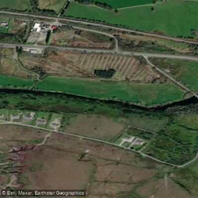
Flesk [Kerry]
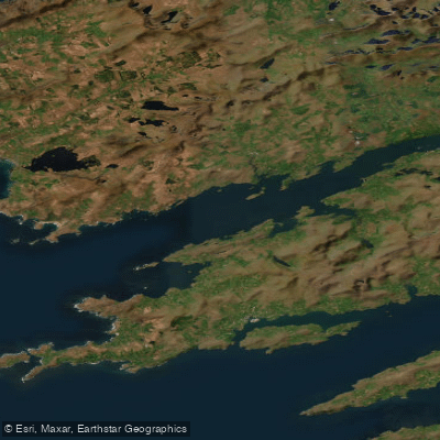
Outer Kenmare River
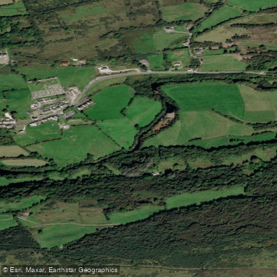
Roughty
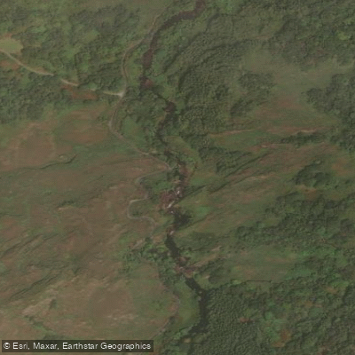
Owenreagh
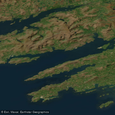
Bantry Bay - Bá Bheanntraí
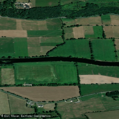
Blackwater [Munster]
Explore Kerry waters
Top paddling waters
No waters available right now.
Popular Cities
Loading popular cities...
Explore near Kenmare River

Smarter Paddling Starts in the App.
Paddleways gives you everything you need to plan smarter, paddle better, and own every trip from first launch to takeout.