Rinn Lough
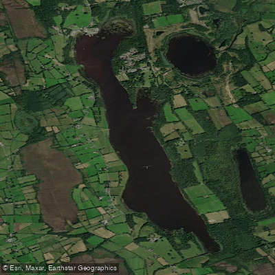
Rinn Lough
- Boat Ramps
- 0
- Access Points
- 0
- Campsites
- 1
Rinn Lough, also known as Lough Rynn and referred to in Irish as Claonloch or Loch na Reanna, is a freshwater lake in south County Leitrim, in the Connaught province of northwestern Ireland. The lake measures approximately 4 km long and up to 0.7 km wide, covering a surface area of about 1.65 km² (roughly 408 acres), with a shoreline of nearly 7 miles. It sits at a surface elevation of 39 metres and contains six islands. The nearest settlement is Mohill, located about 4 km to the north.
The lake's catchment area extends to 178 km², fed primarily by the Cloone River, with two smaller neighbouring lakes — Clooncoc Lough and Lough Errew — also draining into it. Rinn Lough discharges southward via the River Rinn into Lough Forbes, and part of that river corridor forms the Rinn River Natural Heritage Area.
On the northeastern shore stands Lough Rynn Castle, a medieval castle that now operates as a hotel, set within an estate that borders the lake. This is a notable landmark visible from the water.
Paddlers should be aware of several ecological concerns. Zebra mussel infestation is confirmed present in the lake, and invasive species including curly waterweed and freshwater clam also threaten the waterway. These invasives are a concern across Irish waterways generally, and paddlers should take care to clean and dry equipment thoroughly before and after use to avoid spreading them. Water quality was rated as mesotrophic around 2001–2006 but was downgraded to "bad ecological status" between approximately 2007 and 2009 due to pollution. More recent water quality data is not available.
The lake is well regarded for fishing, particularly for northern pike, tench, and common carp, meaning anglers are likely to be present on the water and paddlers should expect to share the lake with fishing activity.
Water access, boat ramps & amenities
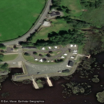
Learn how to get on Rinn Lough. Uncover great paddling access points, boat ramps, and all the facilities you need for an unforgettable day on the water. Some locations shown may border or include private property. Always check property boundaries and applicable regulations before visiting. PaddleWays's Public & Private Land layer can help you plan your access with confidence.
Paddle smarter with real-time insights
Whether you're en route and conditions shift or you're looking for the best spot based on current flows, we enable you to make informed decisions on the fly.







Co. Leitrim licenses and regulations
No licenses or regulations available for Co. Leitrim.
Find Places to Paddle

Over 400,000 Places to Paddle
Every user gets free access to launch points, boat ramps, and public property parcels.


Water and weather conditions (10 day forecast)
See the best times to paddle Rinn Lough and check the forecast before you go.
Lough Rinn
Paddling near Rinn Lough

Shannon [Upper]
Boyle
Ballysadare Estuary
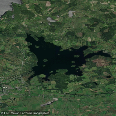
Lough Key
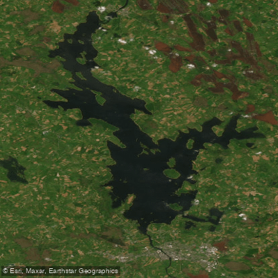
Lough Ree
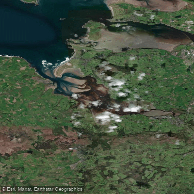
Ballysadare Bay

Suck

Inny [Shannon]
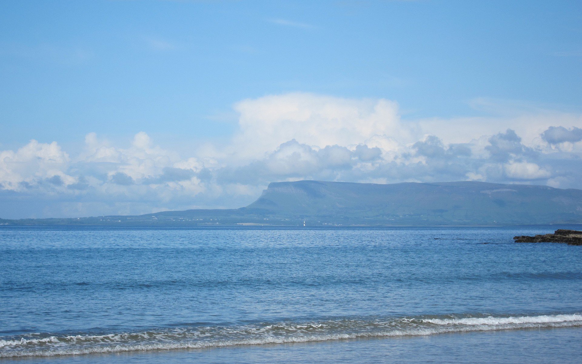
Sligo Bay
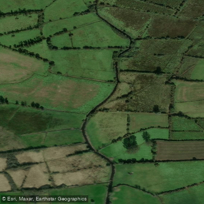
Cloone [Lough Rinn]
Explore Leitrim waters
Top paddling waters
No waters available right now.
Popular Cities
Loading popular cities...
Explore near Rinn Lough
Access points
Nearby waters
More in Co. Leitrim

Smarter Paddling Starts in the App.
Paddleways gives you everything you need to plan smarter, paddle better, and own every trip from first launch to takeout.