Lough Ree
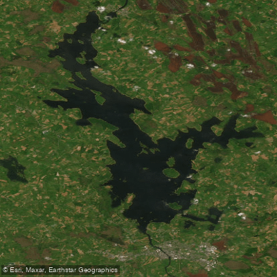
Lough Ree
- Boat Ramps
- 5
- Access Points
- 7
- Campsites
- 1
Lough Ree, known as the Lake of the Kings, is the fifth-largest lake in Ireland by area at 105 square kilometres, situated along the River Shannon waterway between counties Longford, Roscommon, and Westmeath. The lake is studded with 52 islands and is designated as a Special Area of Conservation. While the greater part of the lake is less than 10 metres in depth, six deep troughs run north to south, reaching a maximum depth of approximately 36 metres just west of Inchmore. This combination of shallow bays and deeper open water gives the lake a varied character that rewards careful route planning.
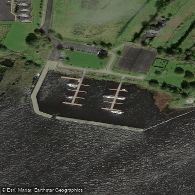
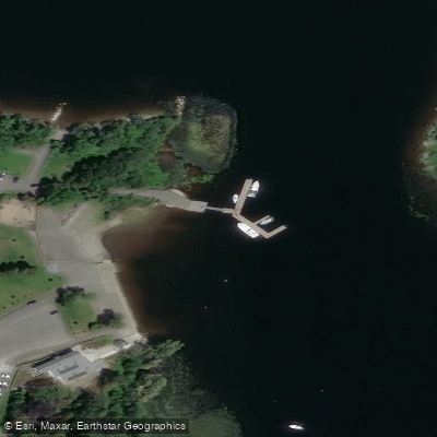
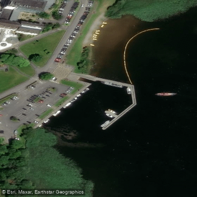
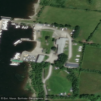
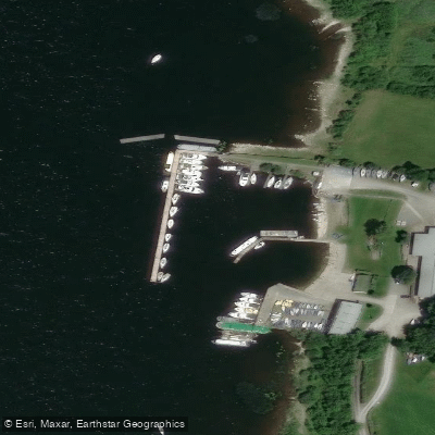
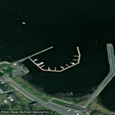
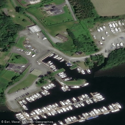
Access points include Coosan Point, which offers a boat ramp and parking, and the Lanesborough/Ballyleague area at the northern end, where small harbours on both sides of the bridge accommodate canoe and kayak launches. A public marina on the western bank of the Shannon at Lanesborough, built by Waterways Ireland, also includes a slipway suitable for launching smaller craft. Hodson Bay, a few kilometres north of Athlone, provides another accessible entry point where kayak hire is available through Baysports.
The lake's many islands offer natural stopping points for multi-day trips. Inishcleraun (Quaker Island) contains the remains of churches founded in AD 540 and a fort built against Viking raids. Monastic ruins can also be found on Inis Inchturk, Inis Inchmore, Inis Inchbofin, and Inis Ainghin (Hare Island). These historical sites give paddling routes a strong cultural dimension alongside the natural scenery.
Wildlife on the lake includes widgeon, teal, great crested grebes, water rails, and cormorants. The lake also holds strong stocks of pike, bream, roach, tench, and trout, with pike exceeding 9 kilograms recorded. No fishing licence is required to fish Lough Ree or the River Shannon.
The lake's open expanse and exposure to wind make conditions variable, and paddlers should be aware that the deep troughs and large surface area can generate significant wave action in unsettled weather. Multi-day canoe camping trips are feasible given the availability of islands, though some island land is privately farmed. The lake is most commonly paddled in summer months, with the June to August period offering the longest daylight hours and generally more stable conditions.
Water access, boat ramps & amenities
Learn how to get on Lough Ree. Uncover great paddling access points, boat ramps, and all the facilities you need for an unforgettable day on the water. Some locations shown may border or include private property. Always check property boundaries and applicable regulations before visiting. PaddleWays's Public & Private Land layer can help you plan your access with confidence.
Paddle smarter with real-time insights
Whether you're en route and conditions shift or you're looking for the best spot based on current flows, we enable you to make informed decisions on the fly.







Co. Longford licenses and regulations
No licenses or regulations available for Co. Longford.
Find Places to Paddle

Over 400,000 Places to Paddle
Every user gets free access to launch points, boat ramps, and public property parcels.


Water and weather conditions (10 day forecast)
See the best times to paddle Lough Ree and check the forecast before you go.
Hodsons Bay
All Flow Stations
Paddling near Lough Ree

Shannon [Upper]
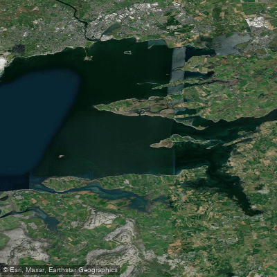
Inner Galway Bay South

Inny [Shannon]
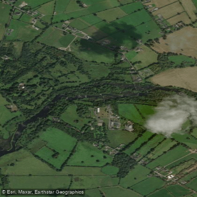
Shannon [Lower]
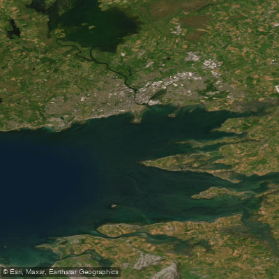
Inner Galway Bay North

Suck
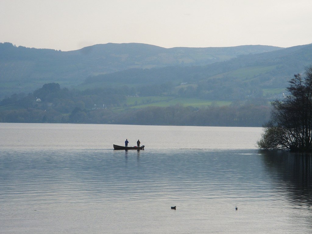
Lough Derg
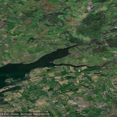
Dunbulcaun Bay

Barrow
Explore Longford waters
Top paddling waters
No waters available right now.
Popular Cities
Loading popular cities...
Explore near Lough Ree
Access points
Nearby waters
More in Co. Longford

Smarter Paddling Starts in the App.
Paddleways gives you everything you need to plan smarter, paddle better, and own every trip from first launch to takeout.