Sligo Bay
- Saltwater
- Bay
Sligo Bay
- Saltwater
- Bay
- Sq. miles
- 32
- Boat Ramps
- 0
- Access Points
- 0
- Campsites
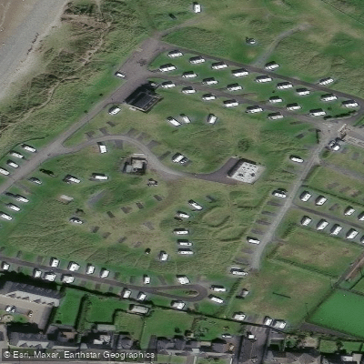
- 1
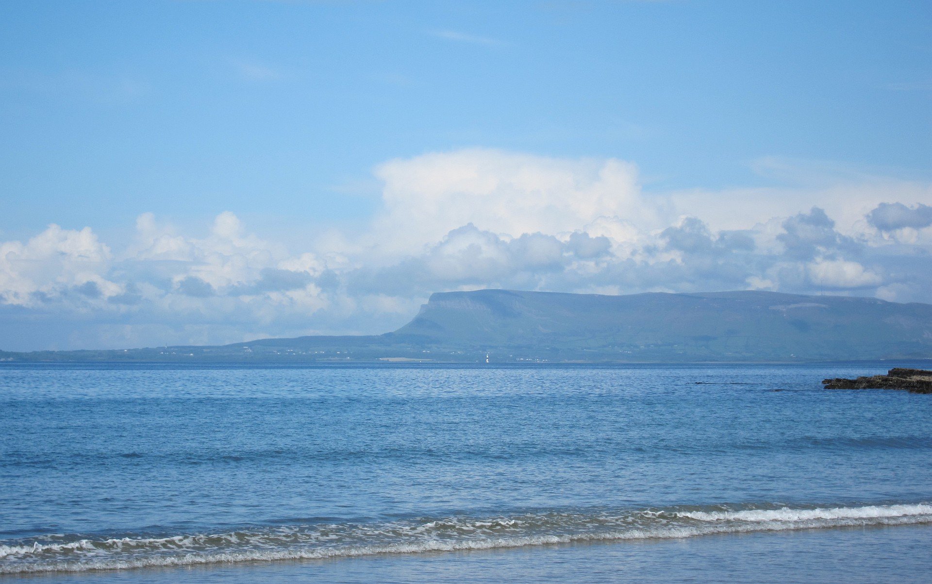
Sligo Bay is a coastal bay on Ireland's Wild Atlantic Way in County Sligo, characterized by a complex coastline with estuaries, inlets, and islands. The bay itself is open to the Atlantic Ocean, making it susceptible to wind and swell, and features strong tidal currents that are a primary safety consideration for paddlers. Paddling conditions can change rapidly, with winds capable of whipping up the sea, sometimes necessitating a move to more sheltered inland lakes. The bay receives significant boat traffic, including trawlers and yachts, with a marked deep-water channel leading to Sligo Harbour. Key access points for paddlers include Rosses Point, Lissadell, Streedagh Beach, Mullaghmore, and Raghly. At Rosses Point, a slipway is located on the west side of the pier, though paddlers should note that a local trawler berths at the head of the pier in the evening. The passage channel between Oyster Island and Coney Island can be dangerous in anything but calm conditions due to strong tides and short waves. Timing trips with the tide is crucial; for instance, paddling the nearby Garavogue River is recommended at low tide for optimal conditions. The bay offers a mix of open coastal paddling and sheltered estuarine exploration. Notable sights include a seal colony in Ballisodare Bay, the historic Dernish Island with its ancient farming settlement, and the monastic island of Inishmurray located approximately 7km offshore. The surrounding scenery is spectacular, featuring views of the iconic Benbulben mountain and the Ox Mountains. Several accredited guiding services, such as Sligo Bay SUP, operate lessons and tours across the bay's lakes, rivers, and coastline, catering to all ability levels from beginners upwards. These services provide all necessary equipment, including wetsuits and buoyancy aids. Wildlife includes dolphins and seals. The overall paddling experience is dynamic, blending exposed Atlantic coastline with more protected inland waterways, requiring careful planning around tides and weather.
Water access, boat ramps & amenities
Learn how to get on Sligo Bay. Uncover great paddling access points, boat ramps, and all the facilities you need for an unforgettable day on the water. Some locations shown may border or include private property. Always check property boundaries and applicable regulations before visiting. PaddleWays's Public & Private Land layer can help you plan your access with confidence.
Paddle smarter with real-time insights
Whether you're en route and conditions shift or you're looking for the best spot based on current flows, we enable you to make informed decisions on the fly.







Co. Sligo licenses and regulations
No licenses or regulations available for Co. Sligo.
Find Places to Paddle

Over 400,000 Places to Paddle
Every user gets free access to launch points, boat ramps, and public property parcels.


Tides, wind & water conditions (10 day forecast)
On open water, wind and tide matter as much as the weather. See the best times to paddle Sligo Bay and check the marine forecast before you launch.
Loading tide predictions…
Paddling near Sligo Bay

Shannon [Upper]
Boyle
Donegal Bay Southern
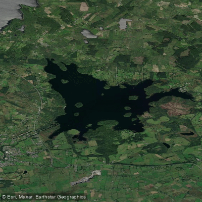
Lough Key
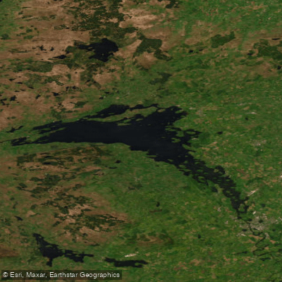
Lower Lough Erne

Suck
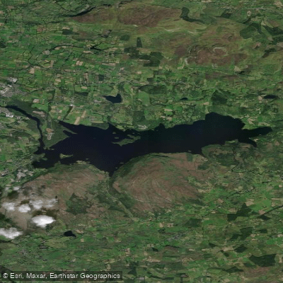
Lough Gill
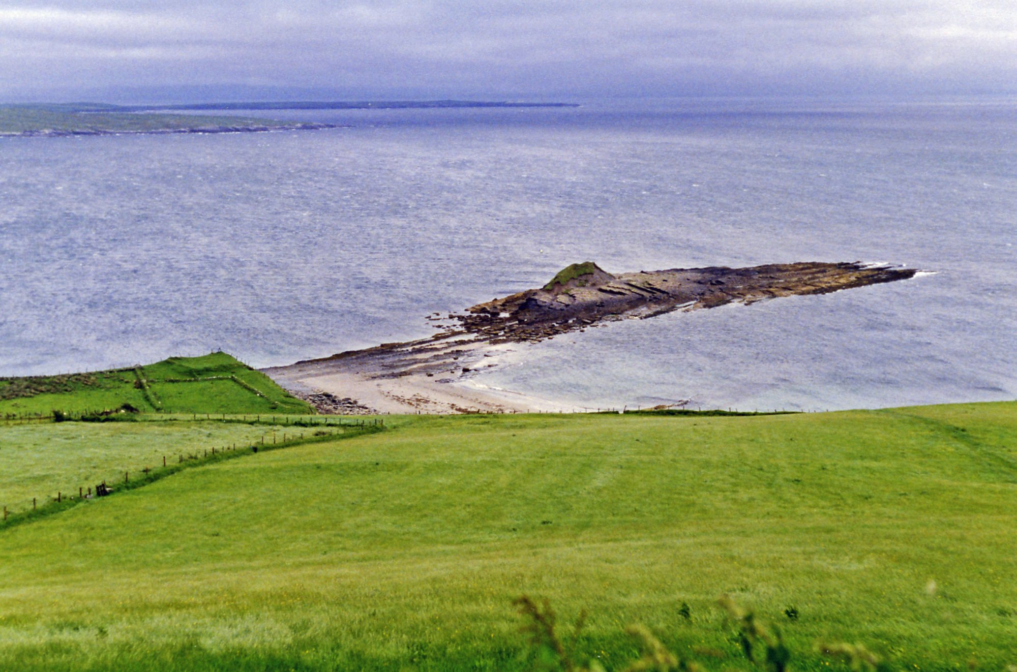
Donegal Bay
Owenmore [Sligo]
Explore Sligo waters
Top paddling waters
No waters available right now.
Popular Cities
Loading popular cities...
Explore near Sligo Bay
Access points
Nearby waters
More in Co. Sligo

Smarter Paddling Starts in the App.
Paddleways gives you everything you need to plan smarter, paddle better, and own every trip from first launch to takeout.