Shannon [Lower]
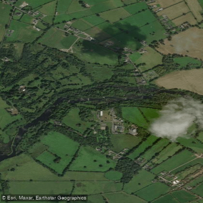
Shannon [Lower]
- Boat Ramps
- 0
- Access Points
- 2
- Campsites
- 0
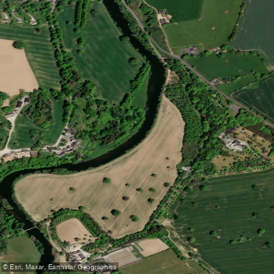
The Lower Shannon encompasses Lough Derg and the river corridor running south through Killaloe to Limerick, passing through the Ardnacrusha hydroelectric scheme. Lough Derg is the second largest lake in the Republic of Ireland and presents a significant open-water challenge. The exit from the lake is notably wide, requiring approximately a 5km crossing to avoid a lengthy paddle around the shoreline. Wind-driven whitecaps can develop in the centre of the lake even in moderate conditions, and paddlers should assess conditions carefully before committing to open-water crossings. The lake is narrower than Lough Ree to the north, which limits fetch somewhat, but it remains a demanding paddle in anything but calm weather.
Killaloe serves as a practical access and exit point on the Lower Shannon, and a disused canal enters the river near the town, offering a quieter side route through dense vegetation. Wildlife along this stretch includes kingfishers. Holy Island on Lough Derg holds the remains of a monastery founded by St. Colum around 520 AD and is among the most historically significant stops on the lower river.
South of Killaloe, the Ardnacrusha Dam is a major logistical consideration. The dam has a total drop of approximately 100 feet, managed through two locks — the first dropping roughly 60 feet and the second around 40 feet. Passage through the locks takes approximately one hour. Paddlers should contact the lock keeper in advance to arrange transit. The lock chamber can be windy, cold, and damp. Below the dam, it is approximately 5km to Limerick City.
The Shannon Paddlers club is based at O'Briens Bridge in County Clare, on a flat and sheltered section of the river, with Class 2/3 whitewater accessible within easy reach toward Limerick. The club runs trips from April to October and offers Level 1 and Level 2 kayak instruction for those new to the river.
Water access, boat ramps & amenities
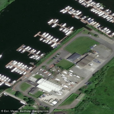
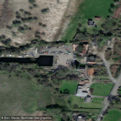
Learn how to get on Shannon [Lower]. Uncover great paddling access points, boat ramps, and all the facilities you need for an unforgettable day on the water. Some locations shown may border or include private property. Always check property boundaries and applicable regulations before visiting. PaddleWays's Public & Private Land layer can help you plan your access with confidence.
Paddle smarter with real-time insights
Whether you're en route and conditions shift or you're looking for the best spot based on current flows, we enable you to make informed decisions on the fly.







Co. Clare licenses and regulations
No licenses or regulations available for Co. Clare.
Find Places to Paddle

Over 400,000 Places to Paddle
Every user gets free access to launch points, boat ramps, and public property parcels.


Water and weather conditions (10 day forecast)
See the best times to paddle Shannon [Lower] and check the forecast before you go.
Banagher
All Flow Stations
Paddling near Shannon [Lower]

Suck
Inner Galway Bay South

Shannon [Upper]
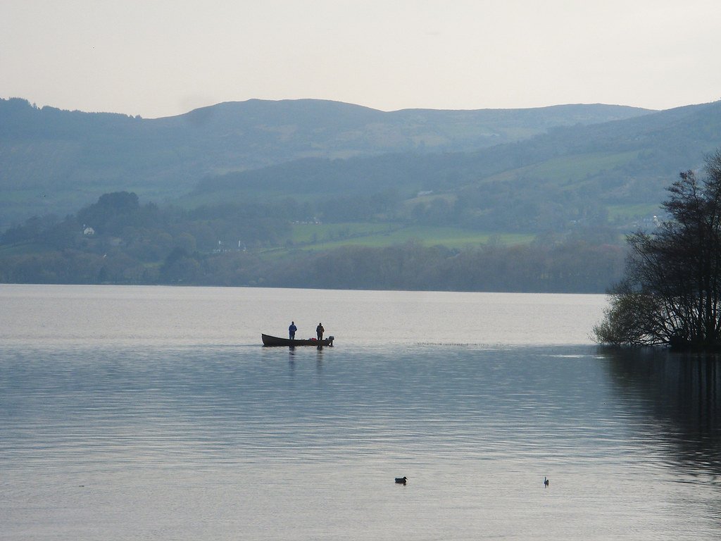
Lough Derg
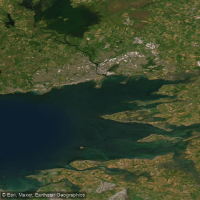
Inner Galway Bay North
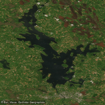
Lough Ree

Barrow
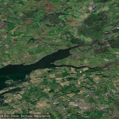
Dunbulcaun Bay
Suir
Explore Clare waters
Top paddling waters
No waters available right now.
Popular Cities
Loading popular cities...
Explore near Shannon [Lower]
Access points
Nearby waters
More in Co. Clare

Smarter Paddling Starts in the App.
Paddleways gives you everything you need to plan smarter, paddle better, and own every trip from first launch to takeout.