Barrow

Barrow
- Boat Ramps
- 1
- Access Points
- 1
- Campsites
- 2
The River Barrow is Ireland's second longest waterway, flowing through counties Carlow and Kilkenny in the southeast of the country. It passes through Ireland's Ancient East, offering paddlers access to historic sites, medieval settlements, and varied riverside landscapes. The river is widely regarded as one of Ireland's premier canoe touring destinations, attracting multi-day paddlers seeking a mix of flatwater travel and navigational interest.
The navigable section most commonly paddled runs from Monasterevin in the north down to St. Mullins and beyond to New Ross, covering roughly 110 kilometres in total. Key segments include Monasterevin to Athy (23km, no locks), Athy to Carlow (19km, 5 locks), Carlow to Leighlinbridge (10km, 3 locks), Leighlinbridge to Bagenalstown (5km, 1 lock), Bagenalstown to Goresbridge (10km, 4 locks), Goresbridge to Borris (7km, 4 locks), Borris to Graiguenamanagh (10km, 4 locks), Graiguenamanagh to St. Mullins (7km, 4 locks), and St. Mullins to New Ross (19km, tidal, no locks). Paddlers should note that south of St. Mullins the river becomes tidal, and timing a passage to coincide with an outgoing tide is essential; tide tables should be consulted in advance.
The river features approximately 10 weirs along the main touring route, and paddlers are strongly advised not to run them. Canal deviations run parallel to the river at each weir, terminating at a lock. Bypassing each lock requires unloading the boat, portaging past the lock, and reloading — a time-consuming but manageable process. The last weir upstream of St. Mullins is noted as particularly dangerous. A strong southerly headwind can significantly slow progress on southward-running sections.
The river passes through or near several towns and villages, including Athy, Carlow, Leighlinbridge, Bagenalstown, Goresbridge, Borris, and Graiguenamanagh, allowing paddlers to resupply along the way rather than carrying all provisions. St. Mullins, the traditional endpoint for many trips, is a small hamlet with a 12th-century motte and bailey, a graveyard, and a cafe in a converted grain store. Graiguenamanagh is another popular finishing point for shorter trips.
The river is suitable for paddlers aged 12 and over for most touring sections, with some guided whitewater experiences available for younger participants. Multiple outfitters operate on the river, offering canoe and kayak hire, guided day trips, and multi-day self-guided packages.
Water access, boat ramps & amenities
Learn how to get on Barrow. Uncover great paddling access points, boat ramps, and all the facilities you need for an unforgettable day on the water. Some locations shown may border or include private property. Always check property boundaries and applicable regulations before visiting. PaddleWays's Public & Private Land layer can help you plan your access with confidence.
Paddle smarter with real-time insights
Whether you're en route and conditions shift or you're looking for the best spot based on current flows, we enable you to make informed decisions on the fly.







Co. Carlow licenses and regulations
No licenses or regulations available for Co. Carlow.
Find Places to Paddle

Over 400,000 Places to Paddle
Every user gets free access to launch points, boat ramps, and public property parcels.


Water and weather conditions (10 day forecast)
See the best times to paddle Barrow and check the forecast before you go.
Carlow
All Flow Stations
Paddling near Barrow
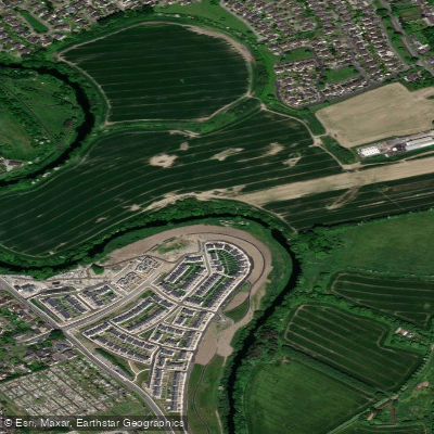
Liffey
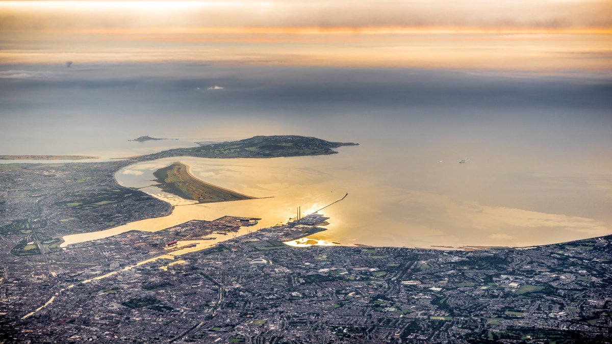
Dublin Bay
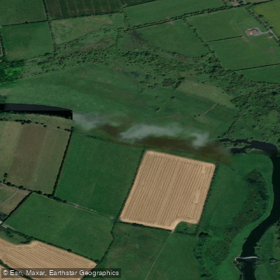
Boyne
Avonbeg
New Ross Port
Suir
Avonmore
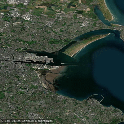
Liffey Estuary Lower
Dodder
Explore Carlow waters
Top paddling waters
No waters available right now.
Popular Cities
Loading popular cities...
Explore near Barrow
More in Co. Carlow

Smarter Paddling Starts in the App.
Paddleways gives you everything you need to plan smarter, paddle better, and own every trip from first launch to takeout.