Drumharlow Lough
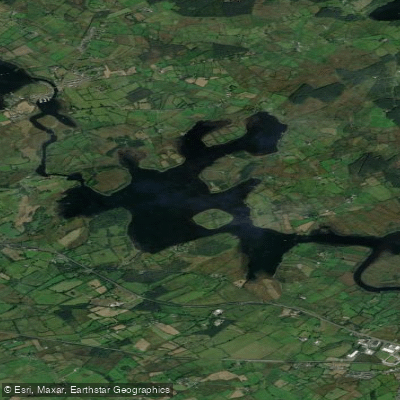
Drumharlow Lough
- Boat Ramps
- 0
- Access Points
- 0
- Campsites
- 0
Drumharlow Lough, also known as Lough Eidin or Lough Drumharlow, is a lake in County Roscommon, Ireland, situated near Carrick-on-Shannon. It covers a surface area of approximately 2.8 km² (1.1 sq mi) and sits at an elevation of 43 m (141 ft). The lake lies on the Boyle River, just above its confluence with the River Shannon, placing it within the broader Shannon waterway system that connects it to an extensive network of navigable waters.
The lake contains an island called Inishatirra and features extensive callows — low-lying, seasonally flooded grasslands — along its shoreline. This shoreline habitat is proposed as a Natural Heritage Area, reflecting its ecological significance. The callows support a flock of Greenland white-fronted geese (Anser albifrons flavirostris), a species of conservation concern, making the lake of particular interest to wildlife observers. Fish species present include roach, bream, brown trout, and rudd.
The lake's position on the Boyle River, immediately upstream of the Shannon junction, means paddlers can incorporate it into longer river touring routes connecting the Boyle River system with the Shannon. The nearby town of Carrick-on-Shannon provides the closest settlement and likely the most practical base for access and logistics. A regatta was held on the lake in 1895, though it was not repeated, with accounts noting the lake was considered too small for the event — a detail that gives some sense of the lake's modest scale relative to other loughs in the region.
The proposed Natural Heritage Area designation of the shoreline may carry implications for paddlers regarding access or conduct near sensitive habitats, and it would be worth checking with local authorities or conservation bodies for any specific restrictions before visiting.
Water access, boat ramps & amenities
Learn how to get on Drumharlow Lough. Uncover great paddling access points, boat ramps, and all the facilities you need for an unforgettable day on the water. Some locations shown may border or include private property. Always check property boundaries and applicable regulations before visiting. PaddleWays's Public & Private Land layer can help you plan your access with confidence.
Paddle smarter with real-time insights
Whether you're en route and conditions shift or you're looking for the best spot based on current flows, we enable you to make informed decisions on the fly.







Co. Roscommon licenses and regulations
No licenses or regulations available for Co. Roscommon.
Find Places to Paddle

Over 400,000 Places to Paddle
Every user gets free access to launch points, boat ramps, and public property parcels.


Water and weather conditions (10 day forecast)
See the best times to paddle Drumharlow Lough and check the forecast before you go.
No forecast data available.
Paddling near Drumharlow Lough

Shannon [Upper]
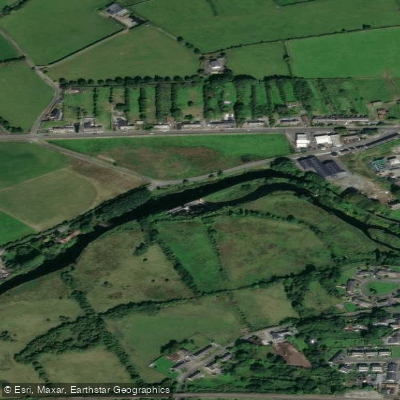
Boyle
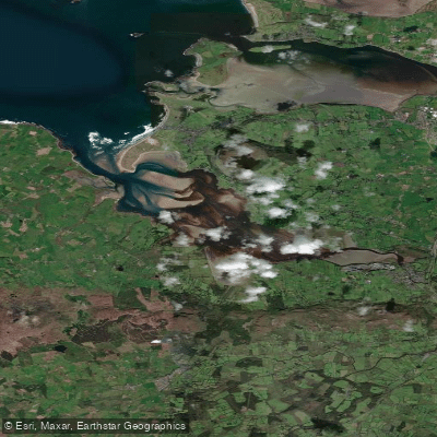
Ballysadare Estuary
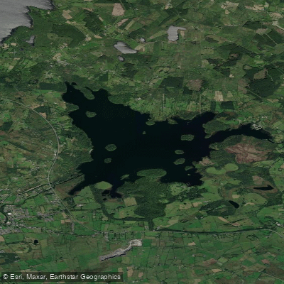
Lough Key
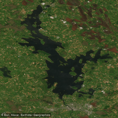
Lough Ree
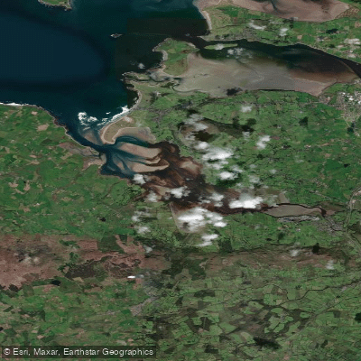
Ballysadare Bay

Suck

Inny [Shannon]
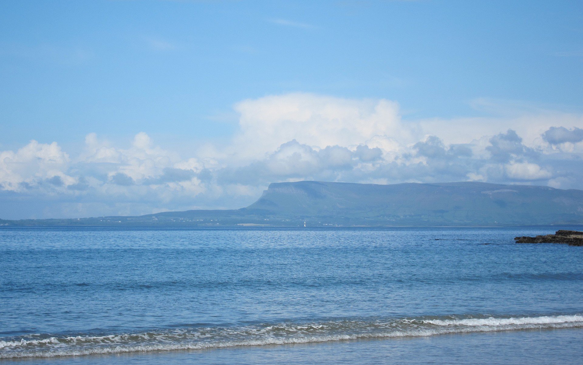
Sligo Bay
Cloone [Lough Rinn]
Explore Roscommon waters
Top paddling waters
No waters available right now.
Popular Cities
Loading popular cities...
Explore near Drumharlow Lough

Smarter Paddling Starts in the App.
Paddleways gives you everything you need to plan smarter, paddle better, and own every trip from first launch to takeout.