Suck

Suck
- Boat Ramps
- 2
- Access Points
- 1
- Campsites
- 0
Paddling the River Suck offers a quiet, rural journey through the agricultural heartlands of east Galway and west Roscommon. The river is excellent for kayaking and canoeing, with high local interest in the activity. Access is straightforward, with a Waterways Ireland managed marina in the heart of Ballinasloe providing a key launch point. There are at least two other boat ramps and several slipways along the river, including an "access for all" facility with dedicated parking and ramps in the village of Donamon, County Roscommon. Boat hire for small craft is available in the Castlecoote area. The river's character changes along its 133-kilometer course. The upper reaches can be fast-flowing, while the lower sections between Ballinasloe and Shannonbridge become broad, deep, and slow-moving, with depths sometimes exceeding twenty-five feet. The water is clean and unpolluted, flowing through a landscape of riverside farmland, wetlands, and water meadows known as callows. These seasonally flooded grasslands are nationally important for wintering waterfowl. The paddling vibe is one of unhurried exploration, passing medieval castles, ringforts, old churches, and remnants of old railways visible from the water. The Suck Valley Way, a 105-kilometer walking trail, parallels much of the river, linking villages and historical sites. The river is a major coarse and pike fishery, holding exceptional stocks of bream, roach, perch, rudd, tench, pike, and brown trout. As the principal tributary of the River Shannon, it eventually joins it at Shannonbridge, forming much of the border between Counties Galway and Roscommon along its way.
Water access, boat ramps & amenities
Learn how to get on Suck. Uncover great paddling access points, boat ramps, and all the facilities you need for an unforgettable day on the water. Some locations shown may border or include private property. Always check property boundaries and applicable regulations before visiting. PaddleWays's Public & Private Land layer can help you plan your access with confidence.
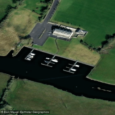
Paddle smarter with real-time insights
Whether you're en route and conditions shift or you're looking for the best spot based on current flows, we enable you to make informed decisions on the fly.







Co. Roscommon licenses and regulations
No licenses or regulations available for Co. Roscommon.
Find Places to Paddle

Over 400,000 Places to Paddle
Every user gets free access to launch points, boat ramps, and public property parcels.


Water and weather conditions (10 day forecast)
See the best times to paddle Suck and check the forecast before you go.
Rookwood
All Flow Stations
Paddling near Suck
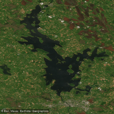
Lough Ree
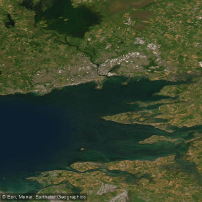
Inner Galway Bay North

Shannon [Upper]

Inny [Shannon]
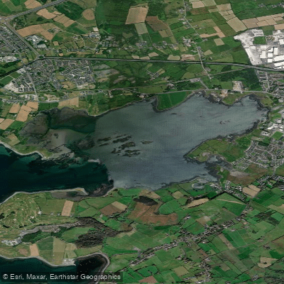
Oranmore Bay
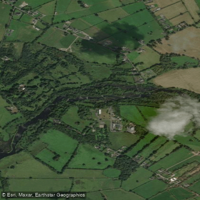
Shannon [Lower]
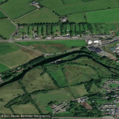
Boyle
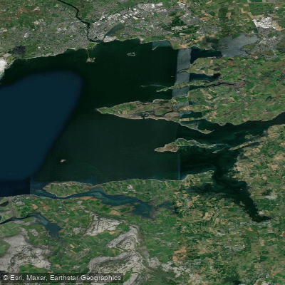
Inner Galway Bay South
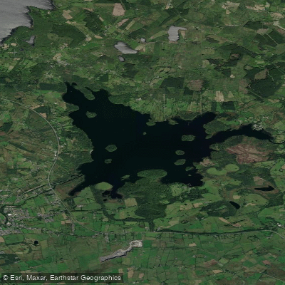
Lough Key
Explore Roscommon waters
Top paddling waters
No waters available right now.
Popular Cities
Loading popular cities...
Explore near Suck
Access points
Nearby waters
More in Co. Roscommon

Smarter Paddling Starts in the App.
Paddleways gives you everything you need to plan smarter, paddle better, and own every trip from first launch to takeout.